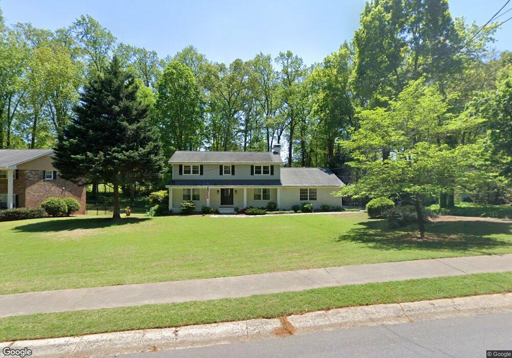
379 Atwood Dr NW Unit 2 Marietta, GA 30064
Northwestern Marietta NeighborhoodEstimated Value: $699,822 - $935,000
4
Beds
3
Baths
2,568
Sq Ft
$322/Sq Ft
Est. Value
About This Home
This home is located at 379 Atwood Dr NW Unit 2, Marietta, GA 30064 and is currently estimated at $826,956, approximately $322 per square foot. 379 Atwood Dr NW Unit 2 is a home located in Cobb County with nearby schools including West Side Elementary School, Marietta Sixth Grade Academy, and Marietta Middle School.
Ownership History
Date
Name
Owned For
Owner Type
Purchase Details
Closed on
Feb 25, 1998
Sold by
Barrow John A and Barrow Elizabeth A E
Bought by
Vaughan Nancy M
Current Estimated Value
Home Financials for this Owner
Home Financials are based on the most recent Mortgage that was taken out on this home.
Original Mortgage
$118,900
Outstanding Balance
$20,787
Interest Rate
6.86%
Mortgage Type
New Conventional
Estimated Equity
$806,169
Create a Home Valuation Report for This Property
The Home Valuation Report is an in-depth analysis detailing your home's value as well as a comparison with similar homes in the area
Home Values in the Area
Average Home Value in this Area
Purchase History
| Date | Buyer | Sale Price | Title Company |
|---|---|---|---|
| Vaughan Nancy M | $166,000 | -- |
Source: Public Records
Mortgage History
| Date | Status | Borrower | Loan Amount |
|---|---|---|---|
| Open | Vaughan Nancy M | $118,900 |
Source: Public Records
Tax History Compared to Growth
Tax History
| Year | Tax Paid | Tax Assessment Tax Assessment Total Assessment is a certain percentage of the fair market value that is determined by local assessors to be the total taxable value of land and additions on the property. | Land | Improvement |
|---|---|---|---|---|
| 2025 | $426 | $300,764 | $88,000 | $212,764 |
| 2024 | $426 | $323,480 | $88,000 | $235,480 |
| 2023 | $274 | $211,268 | $68,000 | $143,268 |
| 2022 | $426 | $173,412 | $68,000 | $105,412 |
| 2021 | $449 | $173,412 | $68,000 | $105,412 |
| 2020 | $443 | $129,172 | $42,000 | $87,172 |
| 2019 | $443 | $129,172 | $42,000 | $87,172 |
| 2018 | $443 | $129,172 | $42,000 | $87,172 |
| 2017 | $357 | $128,848 | $40,000 | $88,848 |
| 2016 | $361 | $111,760 | $40,000 | $71,760 |
| 2015 | $398 | $103,804 | $40,000 | $63,804 |
| 2014 | $413 | $103,804 | $0 | $0 |
Source: Public Records
Map
Nearby Homes
- 327 Stewart Ave NW
- 298 Saint Marys Ln NW
- 591 Oakledge Dr NW
- 207 Walthall St NW
- 282 Evelyn St NW
- 182 McLaren Gates Dr
- 254 McLaren Gates Dr
- 238 McLaren Gates Dr
- 282 McLaren Gates Dr
- 652 Saint Annes Rd NW
- 135 Sidney St
- 106 Burnap St NW
- 285 Kennesaw Ave NW
- 419 Campbell Hill St NW
- 608 Keeler Woods Dr NW
- 542 Sugar Hill Dr NW
- 356 Campbell Hill St NW
- 29 Sessions St NW
- 29 Hillside Ave NE
- 80 Lindley Ave NW Unit 1
- 365 Atwood Dr NW
- 391 Atwood Dr NW Unit 2
- 351 Atwood Dr NW
- 394 Atwood Dr NW
- 405 Atwood Dr NW Unit 2
- 358 Stewart Ave NW
- 408 Atwood Dr NW
- 368 Stewart Ave NW Unit 2
- 378 Saint Annes Rd NW
- 378 St Annes Rd
- 384 Stewart Ave NW
- 394 Stewart Ave NW
- 385 St Annes Rd
- 337 Atwood Dr NW
- 385 Saint Annes Rd NW
- 417 Atwood Dr NW
- 352 Stewart Ave NW
- 410 Atwood Dr NW Unit 2
- 344 Stewart Ave NW
- 340 Atwood Dr NW