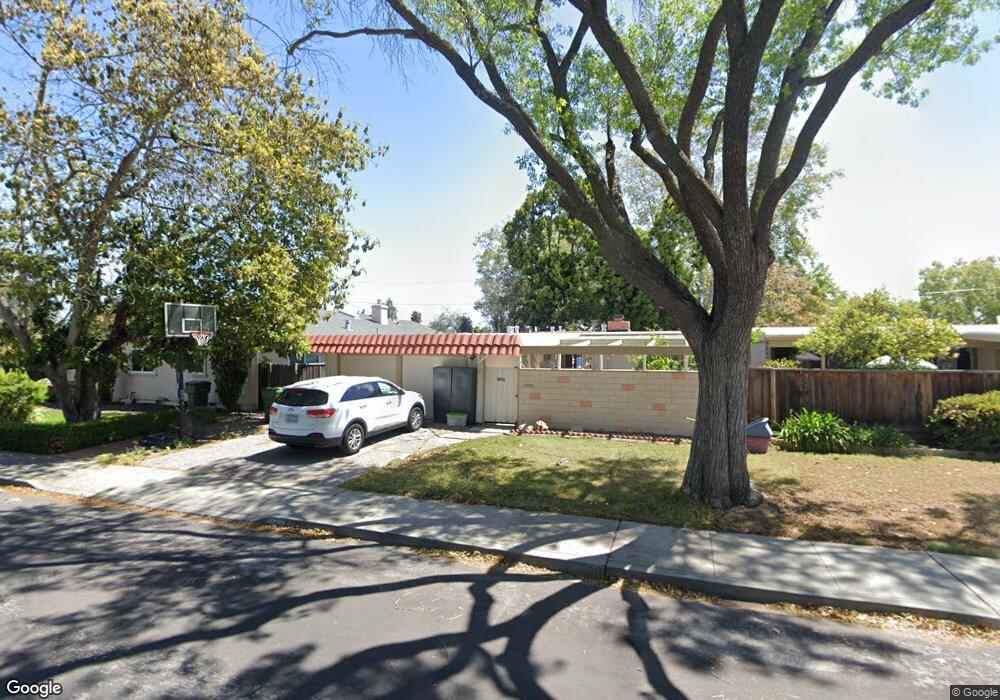
379 Drake Ct Santa Clara, CA 95051
Pruneridge NeighborhoodEstimated Value: $2,004,000 - $2,353,000
3
Beds
2
Baths
1,260
Sq Ft
$1,726/Sq Ft
Est. Value
About This Home
This home is located at 379 Drake Ct, Santa Clara, CA 95051 and is currently estimated at $2,174,559, approximately $1,725 per square foot. 379 Drake Ct is a home located in Santa Clara County with nearby schools including Dwight D. Eisenhower Elementary School, Warren E. Hyde Middle School, and Cupertino High School.
Ownership History
Date
Name
Owned For
Owner Type
Purchase Details
Closed on
Jul 20, 2006
Sold by
Laing Philip O
Bought by
Schindelheim Jacob and Lichten Anat
Current Estimated Value
Home Financials for this Owner
Home Financials are based on the most recent Mortgage that was taken out on this home.
Original Mortgage
$442,110
Outstanding Balance
$190,856
Interest Rate
2%
Mortgage Type
Negative Amortization
Estimated Equity
$1,983,703
Purchase Details
Closed on
Mar 12, 2004
Sold by
Laing Philip O and Laing Alan R
Bought by
Laing Alan R
Home Financials for this Owner
Home Financials are based on the most recent Mortgage that was taken out on this home.
Original Mortgage
$435,478
Interest Rate
3.26%
Mortgage Type
FHA
Create a Home Valuation Report for This Property
The Home Valuation Report is an in-depth analysis detailing your home's value as well as a comparison with similar homes in the area
Home Values in the Area
Average Home Value in this Area
Purchase History
| Date | Buyer | Sale Price | Title Company |
|---|---|---|---|
| Schindelheim Jacob | $632,000 | First American Title | |
| Laing Alan R | -- | Alliance Title Company |
Source: Public Records
Mortgage History
| Date | Status | Borrower | Loan Amount |
|---|---|---|---|
| Open | Schindelheim Jacob | $442,110 | |
| Previous Owner | Laing Alan R | $435,478 |
Source: Public Records
Tax History Compared to Growth
Tax History
| Year | Tax Paid | Tax Assessment Tax Assessment Total Assessment is a certain percentage of the fair market value that is determined by local assessors to be the total taxable value of land and additions on the property. | Land | Improvement |
|---|---|---|---|---|
| 2025 | $9,712 | $846,181 | $669,888 | $176,293 |
| 2024 | $9,712 | $829,590 | $656,753 | $172,837 |
| 2023 | $9,639 | $813,325 | $643,876 | $169,449 |
| 2022 | $9,690 | $797,378 | $631,251 | $166,127 |
| 2021 | $9,598 | $781,744 | $618,874 | $162,870 |
| 2020 | $9,490 | $773,729 | $612,529 | $161,200 |
| 2019 | $9,284 | $758,559 | $600,519 | $158,040 |
| 2018 | $9,071 | $743,687 | $588,745 | $154,942 |
| 2017 | $9,035 | $729,105 | $577,201 | $151,904 |
| 2016 | $8,758 | $714,810 | $565,884 | $148,926 |
| 2015 | $8,708 | $704,073 | $557,384 | $146,689 |
| 2014 | $8,479 | $690,282 | $546,466 | $143,816 |
Source: Public Records
Map
Nearby Homes
- 680 Hamilton Ln
- 2854 Regnart Way
- 2831 Malabar Ave
- 223 Kiely Blvd Unit A
- 2805 Sykes Ct
- 740 Cornell Dr
- 4661 Albany Cir Unit 121
- 4691 Albany Cir Unit 116
- 4685 Albany Cir Unit 151
- 4681 Albany Cir Unit 101
- 4815 Capistrano Ave
- 121 Buckingham Dr Unit 25
- 380 Auburn Way Unit 10
- 380 Auburn Way Unit 6
- 695 Cupples Ct
- 3457 Forbes Ave
- 410 Auburn Way Unit 42
- 380 Richfield Dr
- 2625 Keystone Ave Unit 201
- 3517 Oxford Dr