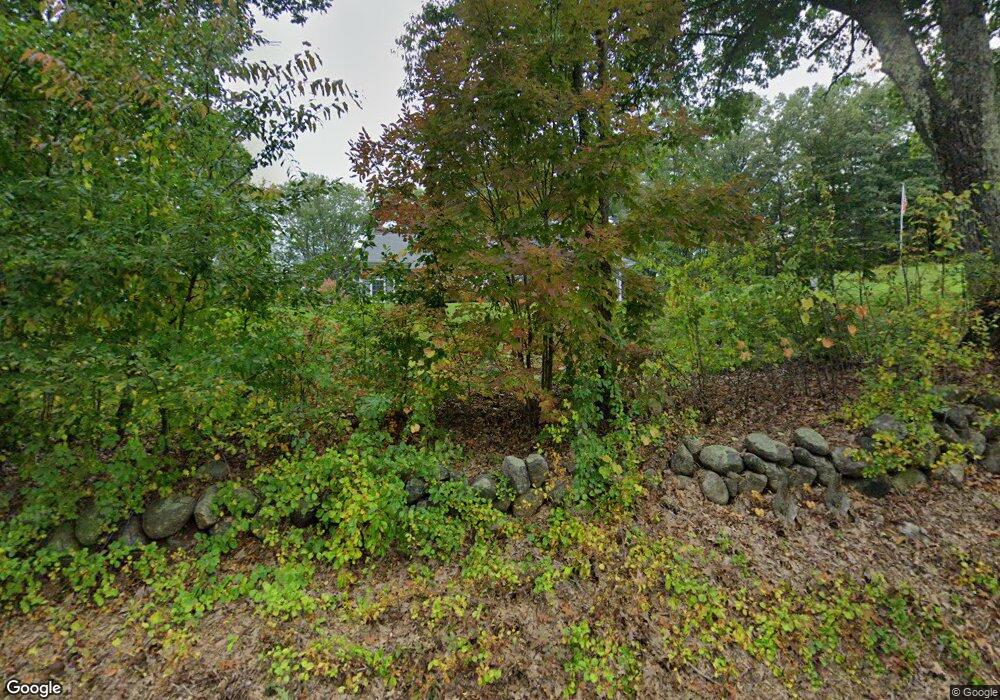
379 E Dunbarton Rd Goffstown, NH 03045
Estimated Value: $612,000 - $663,566
3
Beds
2
Baths
1,504
Sq Ft
$420/Sq Ft
Est. Value
About This Home
This home is located at 379 E Dunbarton Rd, Goffstown, NH 03045 and is currently estimated at $632,392, approximately $420 per square foot. 379 E Dunbarton Rd is a home with nearby schools including Mountain View Middle School and Goffstown High School.
Ownership History
Date
Name
Owned For
Owner Type
Purchase Details
Closed on
Jan 4, 2019
Sold by
Boisclair Kenneth P and Bosiclair Deborah J
Bought by
Kenneth P Boisclair Ret
Current Estimated Value
Purchase Details
Closed on
Feb 20, 2018
Sold by
Boisclair Adam and Labbe Tina
Bought by
Boisclair Kenneth P and Boisclair Deborah J
Create a Home Valuation Report for This Property
The Home Valuation Report is an in-depth analysis detailing your home's value as well as a comparison with similar homes in the area
Home Values in the Area
Average Home Value in this Area
Purchase History
| Date | Buyer | Sale Price | Title Company |
|---|---|---|---|
| Kenneth P Boisclair Ret | -- | -- | |
| Boisclair Kenneth P | -- | -- |
Source: Public Records
Tax History
| Year | Tax Paid | Tax Assessment Tax Assessment Total Assessment is a certain percentage of the fair market value that is determined by local assessors to be the total taxable value of land and additions on the property. | Land | Improvement |
|---|---|---|---|---|
| 2024 | $11,119 | $544,000 | $188,700 | $355,300 |
| 2023 | $10,260 | $544,000 | $188,700 | $355,300 |
| 2022 | $9,382 | $356,600 | $122,300 | $234,300 |
| 2021 | $8,851 | $356,600 | $122,300 | $234,300 |
| 2020 | $8,851 | $356,600 | $122,300 | $234,300 |
| 2019 | $8,765 | $356,600 | $122,300 | $234,300 |
| 2018 | $3,367 | $181,000 | $99,600 | $81,400 |
| 2017 | $0 | $0 | $0 | $0 |
Source: Public Records
Map
Nearby Homes
- 30 Ledgewood Dr
- 500 E Dunbarton Rd
- 163 Woodview Way Unit 2
- 43 Maple Leaf Way
- 78 Woodview Way
- 63 Woodview Way
- 237 Woodview Way
- 264 Woodview Way
- 55 Forestedge Way
- 25 Forestedge Way Unit 25
- 315 Hackett Hill Rd
- 29 S Bow Dunbarton Rd
- 5 Briar Ct
- 11 E Dunbarton Rd
- 77 Straw Rd
- 39 Old Hackett Hill Rd Unit 3F
- 30 Horizon Dr
- 14 Northbrook Dr Unit 1410
- 90 Golfview Dr
- 5 Cross Rd
- 54 Grady Hill Rd
- 32 Grady Hill Rd
- 410 E Dunbarton Rd
- 380 E Dunbarton Rd
- 53 Grady Hill Rd
- 23 Grady Hill Rd
- 369 E Dunbarton Rd
- 424 E Dunbarton Rd
- 9 Grady Hill Rd
- 430 E Dunbarton Rd
- 12-18 Grady Hill Rd
- 361 E Dunbarton Rd
- 3 Grady Hill Rd
- 26 Hooksett Rd
- 442 E Dunbarton Rd
- 10 Hooksett Rd
- 110 Montelona Rd
- 358 E Dunbarton Rd
- 97 Montelona Rd
- 114 Montelona Rd
Your Personal Tour Guide
Ask me questions while you tour the home.