379 Garfield Rd Concord, MA 01742
Estimated Value: $1,659,000 - $2,303,146
4
Beds
4
Baths
2,869
Sq Ft
$690/Sq Ft
Est. Value
About This Home
This home is located at 379 Garfield Rd, Concord, MA 01742 and is currently estimated at $1,978,787, approximately $689 per square foot. 379 Garfield Rd is a home located in Middlesex County with nearby schools including Willard School, Concord Middle School, and Corwin-Russell School at Broccoli Hall.
Ownership History
Date
Name
Owned For
Owner Type
Purchase Details
Closed on
Aug 11, 1998
Sold by
Es Concord Nt and Stephenson George H
Bought by
Woodward Alan C and Woodward Elise F
Current Estimated Value
Home Financials for this Owner
Home Financials are based on the most recent Mortgage that was taken out on this home.
Original Mortgage
$1,200,000
Outstanding Balance
$250,342
Interest Rate
6.92%
Mortgage Type
Purchase Money Mortgage
Estimated Equity
$1,728,445
Purchase Details
Closed on
Nov 6, 1997
Sold by
Schevill Lee
Bought by
Schevill Edward
Create a Home Valuation Report for This Property
The Home Valuation Report is an in-depth analysis detailing your home's value as well as a comparison with similar homes in the area
Home Values in the Area
Average Home Value in this Area
Purchase History
| Date | Buyer | Sale Price | Title Company |
|---|---|---|---|
| Woodward Alan C | $650,000 | -- | |
| Schevill Edward | $201,500 | -- |
Source: Public Records
Mortgage History
| Date | Status | Borrower | Loan Amount |
|---|---|---|---|
| Open | Schevill Edward | $1,200,000 |
Source: Public Records
Tax History Compared to Growth
Tax History
| Year | Tax Paid | Tax Assessment Tax Assessment Total Assessment is a certain percentage of the fair market value that is determined by local assessors to be the total taxable value of land and additions on the property. | Land | Improvement |
|---|---|---|---|---|
| 2025 | $288 | $2,174,600 | $947,900 | $1,226,700 |
| 2024 | $27,885 | $2,123,800 | $947,900 | $1,175,900 |
| 2023 | $26,088 | $2,013,000 | $868,800 | $1,144,200 |
| 2022 | $23,904 | $1,619,500 | $633,900 | $985,600 |
| 2021 | $23,615 | $1,604,300 | $691,600 | $912,700 |
| 2020 | $23,895 | $1,679,200 | $691,600 | $987,600 |
| 2019 | $21,671 | $1,527,200 | $645,400 | $881,800 |
| 2018 | $21,216 | $1,484,700 | $636,000 | $848,700 |
| 2017 | $21,113 | $1,500,600 | $605,800 | $894,800 |
| 2016 | $21,022 | $1,510,200 | $674,100 | $836,100 |
| 2015 | $19,815 | $1,386,600 | $624,800 | $761,800 |
Source: Public Records
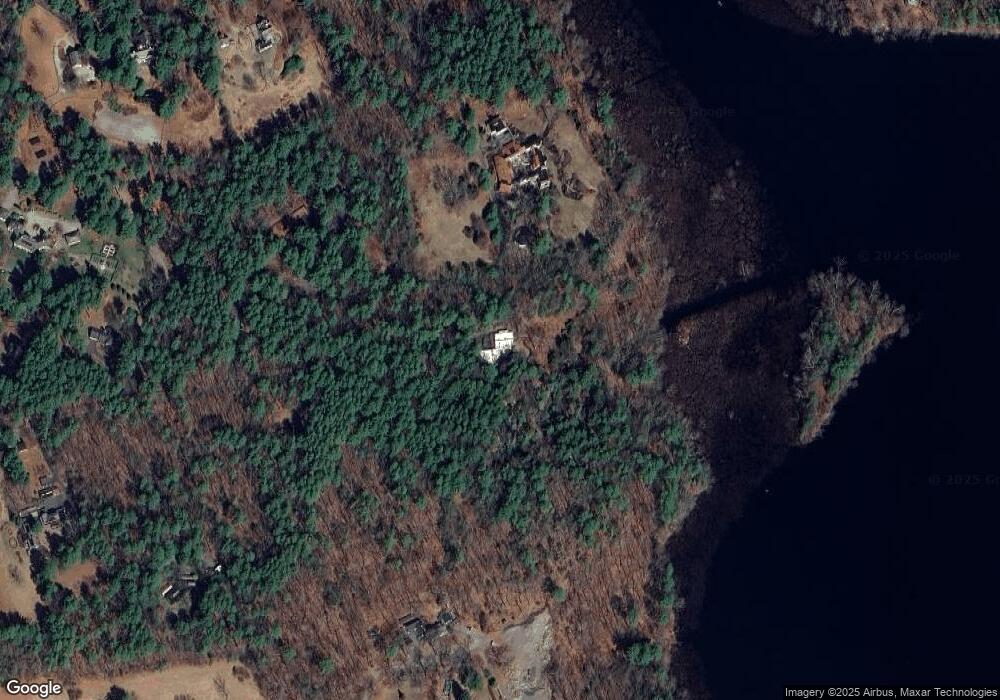
Map
Nearby Homes
- 50 Windingwood Ln
- 49 Birchwood Ln Unit 49
- 33 Old Concord Rd
- 134 Chestnut Cir
- 236 Fairhaven Rd
- 152 S Great Rd
- 56 Rookery Ln Unit 4
- 24 Rookery Ln Unit 6
- 40 Rookery Ln Unit 5
- 72 Rookery Ln Unit 3
- 497 Old Road to 9 Acre Corner
- 37 Wolf Pine Way
- 401 Emery Ln Unit 304
- 121 White Pond Way Unit 121
- 84 Bruce Rd
- 44 Baker Bridge Rd
- 244 Lincoln Rd
- Lot 5 Sailaway Ln
- 45 N Crescent Cir
- Lot 4 Sailaway Ln
- 355 Garfield Rd
- 889 Tanglewood Dr
- 887 Tanglewood Dr
- 900 Tanglewood Dr
- 315 Garfield Rd
- 365 Garfield Rd
- 381 Garfield Rd
- 387 Garfield Rd Unit 387
- 345 Garfield Rd
- 317 Garfield Rd
- 317 Garfield Rd Unit 317
- 309 Garfield Rd
- 309 Garfield Rd Unit 309
- 389 Garfield Rd
- 385 Garfield Rd
- 385 Garfield Rd Unit 1
- 385 Garfield Rd Unit 385
- 319 Garfield Rd Unit 319
- 319 Garfield Rd
- 313 Garfield Rd