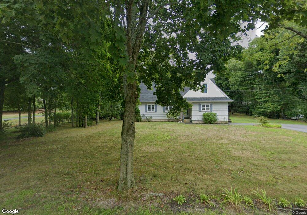
379 Myrtle St Unit 1 Hanover, MA 02339
Estimated Value: $601,000 - $700,904
3
Beds
2
Baths
1,410
Sq Ft
$468/Sq Ft
Est. Value
About This Home
This home is located at 379 Myrtle St Unit 1, Hanover, MA 02339 and is currently estimated at $660,226, approximately $468 per square foot. 379 Myrtle St Unit 1 is a home located in Plymouth County with nearby schools including Hanover High School, Cadence Academy Preschool - Hanover, and The Master's Academy.
Ownership History
Date
Name
Owned For
Owner Type
Purchase Details
Closed on
May 27, 2008
Sold by
Smith Jay D and Smith Kathleen A
Bought by
Thibeault Gretchen
Current Estimated Value
Purchase Details
Closed on
Aug 28, 1987
Sold by
Broberg Warren H
Bought by
Smith Jay D
Create a Home Valuation Report for This Property
The Home Valuation Report is an in-depth analysis detailing your home's value as well as a comparison with similar homes in the area
Home Values in the Area
Average Home Value in this Area
Purchase History
| Date | Buyer | Sale Price | Title Company |
|---|---|---|---|
| Thibeault Gretchen | -- | -- | |
| Thibeault Gretchen | -- | -- | |
| Smith Jay D | $130,000 | -- |
Source: Public Records
Mortgage History
| Date | Status | Borrower | Loan Amount |
|---|---|---|---|
| Previous Owner | Smith Jay D | $175,000 | |
| Previous Owner | Smith Jay D | $130,000 | |
| Previous Owner | Smith Jay D | $50,000 |
Source: Public Records
Tax History Compared to Growth
Tax History
| Year | Tax Paid | Tax Assessment Tax Assessment Total Assessment is a certain percentage of the fair market value that is determined by local assessors to be the total taxable value of land and additions on the property. | Land | Improvement |
|---|---|---|---|---|
| 2025 | $6,463 | $523,300 | $269,900 | $253,400 |
| 2024 | $6,719 | $523,300 | $269,900 | $253,400 |
| 2023 | $6,300 | $467,000 | $245,400 | $221,600 |
| 2022 | $6,118 | $401,200 | $233,100 | $168,100 |
| 2021 | $4,389 | $352,800 | $189,600 | $163,200 |
| 2020 | $5,863 | $359,500 | $200,700 | $158,800 |
| 2019 | $5,611 | $341,900 | $200,700 | $141,200 |
| 2018 | $5,565 | $341,800 | $200,700 | $141,100 |
| 2017 | $5,415 | $327,800 | $200,200 | $127,600 |
| 2016 | $5,222 | $309,700 | $182,100 | $127,600 |
| 2015 | $4,546 | $281,500 | $168,700 | $112,800 |
Source: Public Records
Map
Nearby Homes
- 553 Center St
- 436 Center St
- 41 Gail Rd
- 1251 Broadway
- Lot 22 Adams Cir
- 51 Cervelli Farm Dr
- 37 Dr
- 23 Cervelli Farm Dr
- 38 Cervelli Farm Dr
- 9 Cervelli Farm Dr
- 250 Center St
- 154 Winter St
- 114 Graham Hill Dr
- 842 E Washington St
- 67 School St
- 15 Elm Place
- 116 Spring Meadow Ln
- 21 King St
- 8 Old Farm Rd
- 37 Brook St