Estimated Value: $253,101 - $346,000
Studio
2
Baths
1,986
Sq Ft
$153/Sq Ft
Est. Value
About This Home
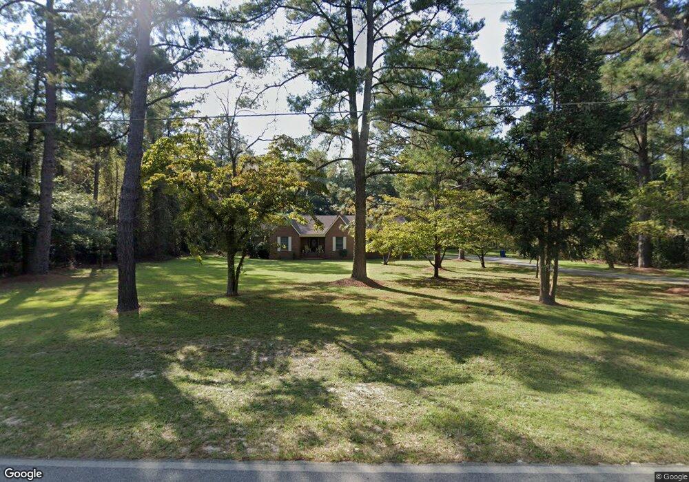
This home is located at 379 Riverside Dr, Jesup, GA 31545 and is currently estimated at $303,025, approximately $152 per square foot. 379 Riverside Dr is a home located in Wayne County with nearby schools including Jesup Elementary School, Arthur Williams Middle School, and Wayne County High School.
Ownership History
Date
Name
Owned For
Owner Type
Purchase Details
Closed on
Sep 26, 2012
Sold by
Moore Dale E
Bought by
Moore Dale E and Moore Joyce M
Current Estimated Value
Purchase Details
Closed on
Aug 23, 2006
Sold by
Moore Luree R
Bought by
Moore Dale E
Purchase Details
Closed on
Jul 1, 1999
Bought by
Moore Luree R and Moore Dale E
Purchase Details
Closed on
Mar 1, 1986
Create a Home Valuation Report for This Property
The Home Valuation Report is an in-depth analysis detailing your home's value as well as a comparison with similar homes in the area
Purchase History
| Date | Buyer | Sale Price | Title Company |
|---|---|---|---|
| Moore Dale E | -- | -- | |
| Moore Dale E | -- | -- | |
| Moore Luree R | $152,700 | -- | |
| -- | $10,000 | -- |
Source: Public Records
Tax History
| Year | Tax Paid | Tax Assessment Tax Assessment Total Assessment is a certain percentage of the fair market value that is determined by local assessors to be the total taxable value of land and additions on the property. | Land | Improvement |
|---|---|---|---|---|
| 2025 | -- | $94,668 | $14,320 | $80,348 |
| 2024 | -- | $92,039 | $14,320 | $77,719 |
| 2023 | $3,106 | $103,545 | $8,875 | $94,670 |
| 2022 | $1,196 | $85,131 | $8,875 | $76,256 |
| 2021 | $961 | $64,086 | $8,875 | $55,211 |
| 2020 | $974 | $62,581 | $7,370 | $55,211 |
| 2019 | $1,032 | $62,581 | $7,370 | $55,211 |
| 2018 | $1,032 | $62,581 | $7,370 | $55,211 |
| 2017 | $1,797 | $63,102 | $4,296 | $58,806 |
| 2016 | $1,739 | $63,102 | $4,296 | $58,806 |
| 2014 | $1,674 | $60,804 | $1,998 | $58,806 |
| 2013 | -- | $60,803 | $1,997 | $58,806 |
Source: Public Records
Map
Nearby Homes
- 0 Aspen Rd
- 888 Altamaha Rd
- 2 Altamaha Rd
- 629 Sierra Rd
- 0 Golf Rd
- 500 Altamaha Rd
- 0000 Lakeview Dr
- 00 Lakeview Dr
- 931 River Ridge Cir
- 391 Rodman Rd
- 404 River Ridge Cir
- 00 Dogwood Extension
- 1 Altamaha Rd
- 0 Shrine Club Rd Unit 163602
- 106 Rodman Rd
- 105 N Bay St
- 0 Oak St
- 24 Sangster Rd
- 50 Sangster Rd
- 370 Briarwood Rd
- 0 Spruce St
- 27 Spruce St
- 444 Riverside Dr
- 480 Riverside Dr
- 31 Riverside Loop
- 272 Riverside Dr
- 161 Spruce Trail
- 60 Spruce St
- 511 Riverside Cir
- 511 Riverside Dr
- 439 Riverside Cir
- 216 Riverside Loop
- 791 Altamaha Rd
- 46 Riverside Cir
- 95 Larry Poppell Rd
- 160 Aspen Rd
- 95 Golf Rd
- 101 Beverly Ln
- 210 Riverside Dr
- 56 Riverside Loop Unit 3D
Your Personal Tour Guide
Ask me questions while you tour the home.