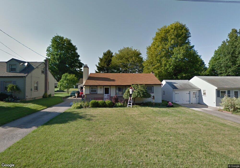
379 W Omar St Struthers, OH 44471
Estimated Value: $142,600 - $176,000
3
Beds
1
Bath
1,064
Sq Ft
$150/Sq Ft
Est. Value
About This Home
This home is located at 379 W Omar St, Struthers, OH 44471 and is currently estimated at $159,650, approximately $150 per square foot. 379 W Omar St is a home located in Mahoning County with nearby schools including Struthers Elementary School, Struthers Middle School, and Struthers High School.
Ownership History
Date
Name
Owned For
Owner Type
Purchase Details
Closed on
Nov 2, 2023
Sold by
Barbato James and Barbato Stephanie M
Bought by
Barbato Madeline and Barbato Alison
Current Estimated Value
Purchase Details
Closed on
Feb 18, 2006
Sold by
Brammer James E and Brammer Cheryl
Bought by
Barbato James and Barbato Stephanie M
Home Financials for this Owner
Home Financials are based on the most recent Mortgage that was taken out on this home.
Original Mortgage
$81,700
Interest Rate
6.2%
Mortgage Type
Fannie Mae Freddie Mac
Purchase Details
Closed on
Jun 2, 2004
Sold by
Brammer Jack D
Bought by
Brammer James E and Brammer Mark A
Create a Home Valuation Report for This Property
The Home Valuation Report is an in-depth analysis detailing your home's value as well as a comparison with similar homes in the area
Home Values in the Area
Average Home Value in this Area
Purchase History
| Date | Buyer | Sale Price | Title Company |
|---|---|---|---|
| Barbato Madeline | -- | -- | |
| Barbato James | $86,000 | None Available | |
| Brammer James E | -- | -- |
Source: Public Records
Mortgage History
| Date | Status | Borrower | Loan Amount |
|---|---|---|---|
| Previous Owner | Barbato James | $81,700 |
Source: Public Records
Tax History
| Year | Tax Paid | Tax Assessment Tax Assessment Total Assessment is a certain percentage of the fair market value that is determined by local assessors to be the total taxable value of land and additions on the property. | Land | Improvement |
|---|---|---|---|---|
| 2025 | $1,505 | $36,140 | $5,010 | $31,130 |
| 2024 | $1,505 | $36,140 | $5,010 | $31,130 |
| 2023 | $1,479 | $36,140 | $5,010 | $31,130 |
| 2022 | $1,325 | $24,500 | $4,710 | $19,790 |
| 2021 | $1,218 | $22,720 | $4,710 | $18,010 |
| 2020 | $1,223 | $22,720 | $4,710 | $18,010 |
| 2019 | $1,172 | $19,760 | $4,100 | $15,660 |
| 2018 | $1,118 | $19,760 | $4,100 | $15,660 |
| 2017 | $1,115 | $19,760 | $4,100 | $15,660 |
| 2016 | $1,300 | $23,590 | $4,780 | $18,810 |
| 2015 | $1,270 | $23,590 | $4,780 | $18,810 |
| 2014 | $1,274 | $23,590 | $4,780 | $18,810 |
| 2013 | $1,184 | $23,590 | $4,780 | $18,810 |
Source: Public Records
Map
Nearby Homes
- 453 W Omar St
- 2451 W Manor Ave
- 1054 Runge Ave
- 795 5th St
- 563 Geneva Ave
- 0 Smithfield St Unit 4336782
- 2215 Knollwood Ave
- 2370 Lyon Blvd
- 227 Wilson St
- 587 Edison St
- 2301 Lyon Blvd
- 627 Poland Ave
- 107 Renee Dr
- 616 Poland Ave
- 143 Wilson St
- 2350 Hamilton Ave
- 611 W Wilson St
- 59 Harvey St
- 60 Renee Dr
- 97 Renwick Dr
Your Personal Tour Guide
Ask me questions while you tour the home.