37905 Gehrig Rd Woodsfield, OH 43793
Estimated Value: $167,000 - $256,932
--
Bed
2
Baths
1,996
Sq Ft
$108/Sq Ft
Est. Value
About This Home
This home is located at 37905 Gehrig Rd, Woodsfield, OH 43793 and is currently estimated at $216,233, approximately $108 per square foot. 37905 Gehrig Rd is a home located in Monroe County with nearby schools including Woodsfield Elementary School, River Elementary School, and Monroe Central High School.
Ownership History
Date
Name
Owned For
Owner Type
Purchase Details
Closed on
Feb 7, 2023
Sold by
Watkins Dawn L
Bought by
Warner Kevin G and Warner Danielle
Current Estimated Value
Purchase Details
Closed on
Aug 13, 2004
Bought by
Watkins Daniel W and Watkins Dawn L
Purchase Details
Closed on
Jul 28, 1997
Bought by
Watkins Daniel W and Watkins Dawn L
Purchase Details
Closed on
Aug 24, 1995
Bought by
Watkins Daniel W and Watkins Dawn L
Purchase Details
Closed on
Jul 28, 1995
Bought by
Watkins Daniel W and Watkins Dawn L
Purchase Details
Closed on
Jul 24, 1995
Bought by
Watkins Daniel W and Watkins Dawn L
Create a Home Valuation Report for This Property
The Home Valuation Report is an in-depth analysis detailing your home's value as well as a comparison with similar homes in the area
Home Values in the Area
Average Home Value in this Area
Purchase History
| Date | Buyer | Sale Price | Title Company |
|---|---|---|---|
| Warner Kevin G | -- | -- | |
| Warner Kevin G | -- | None Listed On Document | |
| Watkins Daniel W | $143,000 | -- | |
| Watkins Daniel W | -- | -- | |
| Watkins Daniel W | -- | -- | |
| Watkins Daniel W | -- | -- | |
| Watkins Daniel W | $12,000 | -- |
Source: Public Records
Tax History Compared to Growth
Tax History
| Year | Tax Paid | Tax Assessment Tax Assessment Total Assessment is a certain percentage of the fair market value that is determined by local assessors to be the total taxable value of land and additions on the property. | Land | Improvement |
|---|---|---|---|---|
| 2024 | $2,472 | $77,080 | $4,760 | $72,320 |
| 2023 | $2,472 | $77,080 | $4,760 | $72,320 |
| 2022 | $2,144 | $77,080 | $4,760 | $72,320 |
| 2021 | $2,119 | $75,280 | $4,030 | $71,250 |
| 2020 | $2,120 | $75,280 | $4,030 | $71,250 |
| 2019 | $2,351 | $75,280 | $4,030 | $71,250 |
| 2018 | $2,308 | $71,210 | $3,360 | $67,850 |
| 2017 | $2,323 | $71,210 | $3,360 | $67,850 |
| 2016 | $2,355 | $71,210 | $3,360 | $67,850 |
| 2015 | $1,962 | $56,860 | $2,600 | $54,260 |
| 2014 | $1,962 | $56,860 | $2,600 | $54,260 |
| 2013 | $2,068 | $55,610 | $2,520 | $53,090 |
Source: Public Records
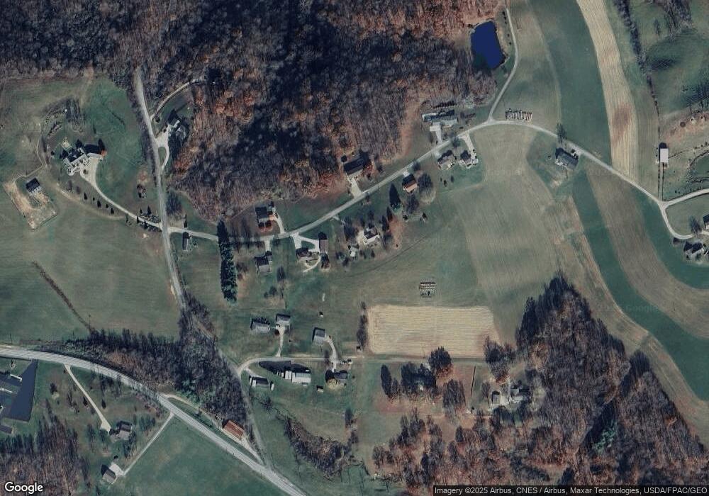
Map
Nearby Homes
- 0 Barber Ridge Rd
- 220 Oaklawn Ave
- 218 Oaklawn Ave
- 198 N Monroe St
- 208 Center St
- 206 Ohio St
- 108 Oaklawn Ave
- 108 S Paul St
- 108.5 S Paul Alley
- 210 E Church St
- 302 High St
- 333 S Main St
- 303 High St
- 315 Eastern Ave
- 407 High St
- 418 Eastern Ave
- 147 Andover Rd
- 49402 Patton Rd
- 0 Township Road 272
- 39709 State Route 255
- 37819 Gehrig Rd
- 37991 Gehrig Rd
- 37755 Gehrig Rd
- 37790 Gehrig Rd
- 37820 Township Road 38
- 37869 Township Road 38
- 38007 Gehrig Rd
- 37889 Township Road 38
- 37729 Gehrig Rd
- 38010 Gehrig Rd
- 38009 Township Road 38
- 38115 Gehrig Rd
- 47101 Keylor Hill Rd
- 37697 State Route 78
- 38020 Gehrig Rd
- 907 Lewisville Rd
- 902 Lewisville Rd
- 37501 State Route 78
- 38203 Gehrig Rd
- 889 Lewisville Rd