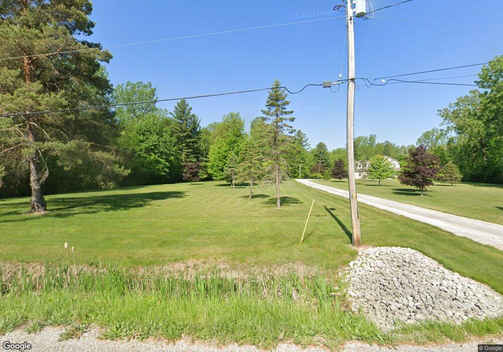
3798 Rogers Rd Midland, MI 48642
Estimated Value: $316,000 - $453,071
3
Beds
4
Baths
2,430
Sq Ft
$155/Sq Ft
Est. Value
About This Home
This home is located at 3798 Rogers Rd, Midland, MI 48642 and is currently estimated at $377,268, approximately $155 per square foot. 3798 Rogers Rd is a home located in Bay County with nearby schools including Thrasher Attendance Center, Auburn Elementary School, and Western Middle School.
Ownership History
Date
Name
Owned For
Owner Type
Purchase Details
Closed on
May 7, 2021
Sold by
Mcneil Philip J
Bought by
Philip And Patricia Mcneil Trust and Mcneil
Current Estimated Value
Purchase Details
Closed on
Sep 15, 2005
Sold by
Mcneil Philip J and Mcneil Patricia Jo
Bought by
Mcneil Philip J and Mcneil Patricia Jo
Home Financials for this Owner
Home Financials are based on the most recent Mortgage that was taken out on this home.
Original Mortgage
$34,200
Interest Rate
6.01%
Mortgage Type
Credit Line Revolving
Create a Home Valuation Report for This Property
The Home Valuation Report is an in-depth analysis detailing your home's value as well as a comparison with similar homes in the area
Home Values in the Area
Average Home Value in this Area
Purchase History
| Date | Buyer | Sale Price | Title Company |
|---|---|---|---|
| Philip And Patricia Mcneil Trust | -- | None Listed On Document | |
| Mcneil Philip J | -- | Commonwealth Title |
Source: Public Records
Mortgage History
| Date | Status | Borrower | Loan Amount |
|---|---|---|---|
| Previous Owner | Mcneil Philip J | $34,200 |
Source: Public Records
Tax History Compared to Growth
Tax History
| Year | Tax Paid | Tax Assessment Tax Assessment Total Assessment is a certain percentage of the fair market value that is determined by local assessors to be the total taxable value of land and additions on the property. | Land | Improvement |
|---|---|---|---|---|
| 2025 | $6,002 | $218,900 | $0 | $0 |
| 2024 | $3,305 | $210,700 | $0 | $0 |
| 2023 | $3,145 | $194,200 | $0 | $0 |
| 2022 | $5,370 | $178,750 | $0 | $0 |
| 2021 | $4,995 | $167,950 | $167,950 | $0 |
| 2020 | $4,635 | $183,000 | $183,000 | $0 |
| 2019 | $4,464 | $164,900 | $0 | $0 |
| 2018 | $4,352 | $159,900 | $0 | $0 |
| 2017 | $4,101 | $164,850 | $0 | $0 |
| 2016 | $4,116 | $166,400 | $0 | $166,400 |
| 2015 | -- | $126,700 | $0 | $126,700 |
| 2014 | -- | $126,700 | $0 | $126,700 |
Source: Public Records
Map
Nearby Homes
- 2752 W North Union Rd Unit 88
- 0 Rockwell Dr
- 1144 N Waldo Rd
- 1404 N Texas Ln
- 2716 Whitewood Dr
- 4620 Trotters Pointe Cir
- 3212 Milford St
- 1305 Springfield Dr
- 2730 W Midland Rd
- 0 S Bay-Mid County Line Rd
- 3630 James Savage Rd
- 3409 James Savage Rd
- 2415 Alta Ct
- 2203 Lambros Dr
- 2710 Kitty Hawk Cir
- 5811 Diamond View E
- 6102 Diamond View E
- 0 N Waldo Unit 50192117
- 0 N Waldo Unit 50194641
- 5309 Foster Rd
- 3818 Rogers Rd
- 3756 Rogers Rd
- 3785 Rogers Rd
- 3807 Rogers Rd
- 3854 Rogers Rd
- 3771 Rogers Rd
- 3844 Rogers Rd
- 3833 Rogers Rd
- 3876 Rogers Rd
- 3849 Rogers Rd
- 3853 Rogers Rd
- 3601 Rockwell Dr
- 3765 Rockwell Dr
- 3729 Rockwell Dr
- 2801 Wilder Rd
- 2737 Wilder Rd
- 2727 Wilder Rd
- 2751 Wilder Rd
- 2789 Wilder Rd
- 2697 Wilder Rd