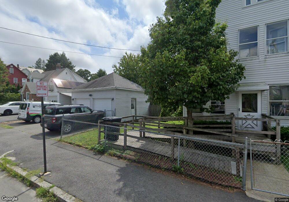
38 Airlie St Worcester, MA 01606
Greendale NeighborhoodEstimated Value: $524,177 - $586,000
4
Beds
2
Baths
2,406
Sq Ft
$231/Sq Ft
Est. Value
About This Home
This home is located at 38 Airlie St, Worcester, MA 01606 and is currently estimated at $555,544, approximately $230 per square foot. 38 Airlie St is a home located in Worcester County with nearby schools including Jacob Hiatt Magnet School, Chandler Magnet, and Thorndyke Road School.
Ownership History
Date
Name
Owned For
Owner Type
Purchase Details
Closed on
Apr 11, 1997
Sold by
Wilmot Ruth C and Sweet Bradford
Bought by
Menard Robert L and Menard Pauline L
Current Estimated Value
Create a Home Valuation Report for This Property
The Home Valuation Report is an in-depth analysis detailing your home's value as well as a comparison with similar homes in the area
Home Values in the Area
Average Home Value in this Area
Purchase History
| Date | Buyer | Sale Price | Title Company |
|---|---|---|---|
| Menard Robert L | $113,000 | -- |
Source: Public Records
Mortgage History
| Date | Status | Borrower | Loan Amount |
|---|---|---|---|
| Open | Menard Robert L | $26,249 | |
| Closed | Menard Robert L | $10,000 | |
| Open | Menard Robert L | $166,037 |
Source: Public Records
Tax History Compared to Growth
Tax History
| Year | Tax Paid | Tax Assessment Tax Assessment Total Assessment is a certain percentage of the fair market value that is determined by local assessors to be the total taxable value of land and additions on the property. | Land | Improvement |
|---|---|---|---|---|
| 2025 | $5,913 | $448,300 | $111,200 | $337,100 |
| 2024 | $5,650 | $410,900 | $111,200 | $299,700 |
| 2023 | $5,271 | $367,600 | $96,700 | $270,900 |
| 2022 | $4,831 | $317,600 | $77,300 | $240,300 |
| 2021 | $4,387 | $269,500 | $61,900 | $207,600 |
| 2020 | $4,157 | $244,500 | $61,900 | $182,600 |
| 2019 | $4,162 | $231,200 | $55,600 | $175,600 |
| 2018 | $4,085 | $216,000 | $55,600 | $160,400 |
| 2017 | $3,904 | $203,100 | $55,600 | $147,500 |
| 2016 | $3,842 | $186,400 | $41,500 | $144,900 |
| 2015 | $3,741 | $186,400 | $41,500 | $144,900 |
| 2014 | $3,642 | $186,400 | $41,500 | $144,900 |
Source: Public Records
Map
Nearby Homes
- 40 Francis St
- 14 Fales St
- 3 Granville Ave
- 131 Airlie St
- 28 Brooks St
- 43 Fales St
- 314 Burncoat St
- 48 Wilkinson St
- 15 Ericsson St
- 30 Danielles Way
- 29 E Mountain
- 18 Danielles Way
- 126 Brooks St
- 80 Clark St
- 66 Mount Ave
- 11 Hockanum Way
- 68 Housatonic St
- 14 Housatonic St
- 2 Stowell Ave Unit A
- 37 Uncatena Ave
- 34 Airlie St
- 48 Airlie St
- 30 Airlie St
- 37 Airlie St
- 22 Airlie St Unit 3
- 22 Airlie St Unit 2
- 22 Airlie St Unit 1
- 22-24 Airlie St Unit 1
- 22-24 Airlie St Unit 3
- 22-24 Airlie St Unit 2
- 22 Airlie St
- 35 Airlie St
- 39 Airlie St
- 50 Airlie St
- 50 Airlie St Unit 2
- 50 Airlie St Unit 3
- 31 Airlie St
- 95 Leeds St
- 29 Kendrick Ave
- 47 Airlie St