38 Algonquin Trail Unit 38 Ashland, MA 01721
Estimated Value: $591,000 - $699,000
2
Beds
3
Baths
1,616
Sq Ft
$386/Sq Ft
Est. Value
About This Home
This home is located at 38 Algonquin Trail Unit 38, Ashland, MA 01721 and is currently estimated at $623,773, approximately $385 per square foot. 38 Algonquin Trail Unit 38 is a home located in Middlesex County with nearby schools including William Pittaway Elementary School, Henry E. Warren Elementary School, and David Mindess Elementary School.
Ownership History
Date
Name
Owned For
Owner Type
Purchase Details
Closed on
Mar 31, 2022
Sold by
Queiroli Katana L
Bought by
Salmon Katana L and Salmon Clifton J
Current Estimated Value
Purchase Details
Closed on
Jun 27, 2012
Sold by
Browne Julie A and Browne Keita A
Bought by
Aueiroli Katana L
Home Financials for this Owner
Home Financials are based on the most recent Mortgage that was taken out on this home.
Original Mortgage
$256,410
Interest Rate
3.75%
Mortgage Type
FHA
Purchase Details
Closed on
Jun 1, 2010
Sold by
Moore Keith R
Bought by
Browne Julie A and Browne Keita A
Home Financials for this Owner
Home Financials are based on the most recent Mortgage that was taken out on this home.
Original Mortgage
$267,750
Interest Rate
5.13%
Mortgage Type
Purchase Money Mortgage
Create a Home Valuation Report for This Property
The Home Valuation Report is an in-depth analysis detailing your home's value as well as a comparison with similar homes in the area
Home Values in the Area
Average Home Value in this Area
Purchase History
| Date | Buyer | Sale Price | Title Company |
|---|---|---|---|
| Salmon Katana L | -- | None Available | |
| Aueiroli Katana L | $272,000 | -- | |
| Browne Julie A | $297,500 | -- |
Source: Public Records
Mortgage History
| Date | Status | Borrower | Loan Amount |
|---|---|---|---|
| Previous Owner | Aueiroli Katana L | $256,410 | |
| Previous Owner | Browne Julie A | $267,750 |
Source: Public Records
Tax History Compared to Growth
Tax History
| Year | Tax Paid | Tax Assessment Tax Assessment Total Assessment is a certain percentage of the fair market value that is determined by local assessors to be the total taxable value of land and additions on the property. | Land | Improvement |
|---|---|---|---|---|
| 2025 | $6,667 | $522,100 | $0 | $522,100 |
| 2024 | $6,485 | $489,800 | $0 | $489,800 |
| 2023 | $5,916 | $429,600 | $0 | $429,600 |
| 2022 | $5,822 | $366,600 | $0 | $366,600 |
| 2021 | $5,608 | $352,056 | $0 | $352,056 |
| 2020 | $5,480 | $339,100 | $0 | $339,100 |
| 2019 | $5,101 | $313,300 | $0 | $313,300 |
| 2018 | $4,774 | $287,400 | $0 | $287,400 |
| 2017 | $4,531 | $271,300 | $0 | $271,300 |
| 2016 | $4,505 | $265,000 | $0 | $265,000 |
| 2015 | $4,417 | $255,328 | $0 | $255,328 |
| 2014 | $4,328 | $248,900 | $0 | $248,900 |
Source: Public Records
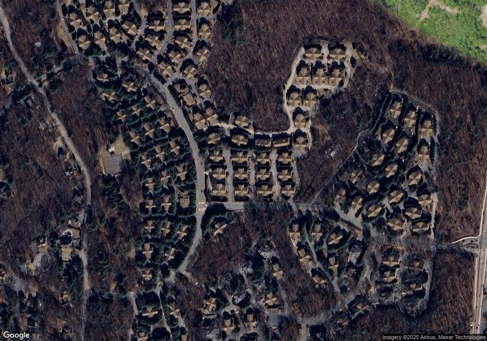
Map
Nearby Homes
- 145 Captain Eames Cir
- 76 Algonquin Trail
- 102 Captain Eames Cir
- 158 Algonquin Trail
- 379 Captain Eames Cir
- 262 Captain Eames Cir
- 343 Captain Eames Cir Unit 38-C
- 37 James Rd
- 17 Sewell St
- 26 Wenzell Rd
- 20 Mulhall Dr
- 24 Old Connecticut Path
- 9 Adams Rd
- 2 Adams Rd Unit 2
- 1 Adams Rd
- 17 Stagecoach Dr
- 63 Trailside Way Unit 63
- 126 Mountain Gate Rd Unit 126
- 83 Spyglass Hill Dr
- 181 E Union St
- 14 Algonquin Trail
- 40 Algonquin Trail
- 38 Algonquin Trail
- 40 Algonquin Trail Unit 40
- 12 Algonquin Trail
- 32 Algonquin Trail
- 12 Algonquin Trail Unit 57B
- 48 Algonquin Trail
- 46 Algonquin Trail
- 46 Algonquin Trail Unit 46/46
- 143 Captain Eames Cir Unit 143
- 143 Captain Eames Cir
- 8 Algonquin Trail
- 6 Algonquin Trail
- 143 Captain Eames Cir
- 44 Algonquin Trail
- 68 Algonquin Trail
- 68 Algonquin Trail Unit D
- 68 Algonquin Trail Unit 68
- 52 Algonquin Trail