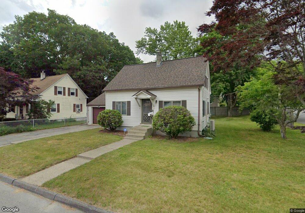
38 Amesbury St Worcester, MA 01605
Estimated Value: $368,699 - $392,000
2
Beds
2
Baths
1,000
Sq Ft
$382/Sq Ft
Est. Value
About This Home
This home is located at 38 Amesbury St, Worcester, MA 01605 and is currently estimated at $381,925, approximately $381 per square foot. 38 Amesbury St is a home located in Worcester County with nearby schools including Jacob Hiatt Magnet School, Chandler Magnet, and Lincoln Street School.
Ownership History
Date
Name
Owned For
Owner Type
Purchase Details
Closed on
Apr 30, 2003
Sold by
Bull Leroy G and Bull Linda A
Bought by
Alexandrovich Susan
Current Estimated Value
Home Financials for this Owner
Home Financials are based on the most recent Mortgage that was taken out on this home.
Original Mortgage
$138,000
Interest Rate
5.82%
Mortgage Type
Purchase Money Mortgage
Create a Home Valuation Report for This Property
The Home Valuation Report is an in-depth analysis detailing your home's value as well as a comparison with similar homes in the area
Home Values in the Area
Average Home Value in this Area
Purchase History
| Date | Buyer | Sale Price | Title Company |
|---|---|---|---|
| Alexandrovich Susan | $172,500 | -- |
Source: Public Records
Mortgage History
| Date | Status | Borrower | Loan Amount |
|---|---|---|---|
| Open | Alexandrovich Susan | $128,500 | |
| Closed | Alexandrovich Susan | $138,000 |
Source: Public Records
Tax History Compared to Growth
Tax History
| Year | Tax Paid | Tax Assessment Tax Assessment Total Assessment is a certain percentage of the fair market value that is determined by local assessors to be the total taxable value of land and additions on the property. | Land | Improvement |
|---|---|---|---|---|
| 2025 | $4,193 | $317,900 | $112,700 | $205,200 |
| 2024 | $4,126 | $300,100 | $112,700 | $187,400 |
| 2023 | $3,944 | $275,000 | $98,000 | $177,000 |
| 2022 | $3,599 | $236,600 | $78,400 | $158,200 |
| 2021 | $3,367 | $206,800 | $62,700 | $144,100 |
| 2020 | $3,356 | $197,400 | $62,700 | $134,700 |
| 2019 | $3,191 | $177,300 | $56,400 | $120,900 |
| 2018 | $3,209 | $169,700 | $56,400 | $113,300 |
| 2017 | $3,066 | $159,500 | $56,400 | $103,100 |
| 2016 | $2,988 | $145,000 | $41,800 | $103,200 |
| 2015 | $2,910 | $145,000 | $41,800 | $103,200 |
| 2014 | $2,833 | $145,000 | $41,800 | $103,200 |
Source: Public Records
Map
Nearby Homes
- 57 Pasadena Pkwy
- 3 Huron Ave
- 22 Huron Ave
- 15 Wayside Rd
- 5A Wigwam Hill Dr Unit A
- 25 White Ave
- 91-93 Natural History Dr
- 56 Wigwam Hill Dr
- 64 Wauwinet Rd
- 45 Goldthwaite Rd
- 163 N Lake Ave
- 2206 Halcyon Dr Unit 2206
- 304 Saint Nicholas Ave
- 8 Cherry Blossom Cir Unit 50
- 29 Dominion Rd
- 23 Viele Ave
- 190 Dominion Rd
- 45 Ireta Rd
- 15 Eaglehead Terrace Unit 5
- 19 Eaglehead Terrace Unit 2
- 40 Amesbury St
- 19 Oakhurst St
- 32 Amesbury St
- 42 Amesbury St
- 42-46 Amesbury St
- 42 Amesbury St
- 37 Amesbury St
- 21 Oakview St
- 20 Oakhurst St
- 41 Amesbury St
- 30 Amesbury St
- 33 Amesbury St
- 33 Amesbury St Unit 33
- 33 Amesbury St Unit 1
- 23 Oakview St
- 43 Amesbury St
- 7 Oakhurst St
- 17 Oakview St
- 17 Oakview St Unit 1
- 17 Oakview St