38 Blue Ridge Ln Wilton, CT 06897
Estimated Value: $839,000 - $973,000
3
Beds
3
Baths
1,179
Sq Ft
$749/Sq Ft
Est. Value
About This Home
This home is located at 38 Blue Ridge Ln, Wilton, CT 06897 and is currently estimated at $883,505, approximately $749 per square foot. 38 Blue Ridge Ln is a home located in Fairfield County with nearby schools including Miller-Driscoll School, Cider Mill School, and Middlebrook School.
Ownership History
Date
Name
Owned For
Owner Type
Purchase Details
Closed on
Nov 8, 2002
Sold by
Tirella Nancy M
Bought by
Interiano Martha Y and Interiano Julio C
Current Estimated Value
Home Financials for this Owner
Home Financials are based on the most recent Mortgage that was taken out on this home.
Original Mortgage
$438,300
Outstanding Balance
$183,854
Interest Rate
6.04%
Estimated Equity
$699,651
Create a Home Valuation Report for This Property
The Home Valuation Report is an in-depth analysis detailing your home's value as well as a comparison with similar homes in the area
Home Values in the Area
Average Home Value in this Area
Purchase History
| Date | Buyer | Sale Price | Title Company |
|---|---|---|---|
| Interiano Martha Y | $487,000 | -- |
Source: Public Records
Mortgage History
| Date | Status | Borrower | Loan Amount |
|---|---|---|---|
| Open | Interiano Martha Y | $438,300 |
Source: Public Records
Tax History Compared to Growth
Tax History
| Year | Tax Paid | Tax Assessment Tax Assessment Total Assessment is a certain percentage of the fair market value that is determined by local assessors to be the total taxable value of land and additions on the property. | Land | Improvement |
|---|---|---|---|---|
| 2025 | $11,672 | $478,170 | $296,030 | $182,140 |
| 2024 | $11,447 | $478,170 | $296,030 | $182,140 |
| 2023 | $12,629 | $352,030 | $274,470 | $77,560 |
| 2022 | $9,938 | $352,030 | $274,470 | $77,560 |
| 2021 | $9,811 | $352,030 | $274,470 | $77,560 |
| 2020 | $9,667 | $352,030 | $274,470 | $77,560 |
| 2019 | $10,047 | $352,030 | $274,470 | $77,560 |
| 2018 | $10,195 | $340,970 | $288,750 | $52,220 |
| 2017 | $10,345 | $340,970 | $288,750 | $52,220 |
| 2016 | $9,322 | $340,970 | $288,750 | $52,220 |
| 2015 | $9,148 | $340,970 | $288,750 | $52,220 |
| 2014 | $9,039 | $340,970 | $288,750 | $52,220 |
Source: Public Records
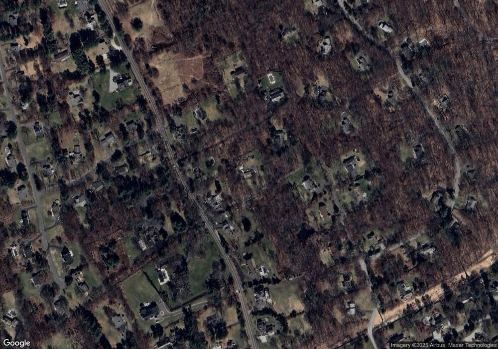
Map
Nearby Homes
- 93 E Meadow Rd
- 10 Wilton Hunt Rd
- 110 Dudley Rd
- 4A Newtown Turnpike
- 25 Hermit Ln
- 40 Hermit Ln
- 29 Grumman Ave
- 6 Tulip Tree Ln
- 76 Sturges Ridge Rd
- 4 Good Hill Rd
- 28 Village Ct
- 105 Danbury Rd
- 30 Cavalry Rd
- 55 Liberty St
- 32 Kettle Creek Rd
- 17 Huckleberry Ln
- 81 Norfield Rd
- 31 Riverfield Dr
- 84 Wilton Crest Rd Unit 84
- 20 Wilton Crest Unit 20
- 188 Chestnut Hill Rd
- 182 Chestnut Hill Rd
- 198 Chestnut Hill Rd
- 30 Blue Ridge Ln
- 174 Chestnut Hill Rd
- 19 Blue Ridge Ln
- 208 Chestnut Hill Rd
- 20 Blue Ridge Ln
- 3 Thistle Ln
- 187 Chestnut Hill Rd
- 171 Chestnut Hill Rd
- 14 Blue Ridge Ln
- 202 Chestnut Hill Rd
- 181 Chestnut Hill Rd
- 162 Chestnut Hill Rd
- 4 Thistle Ln
- 78 Rivergate Dr
- 11 Thistle Ln
- 204 Chestnut Hill Rd
- 80 Rivergate Dr