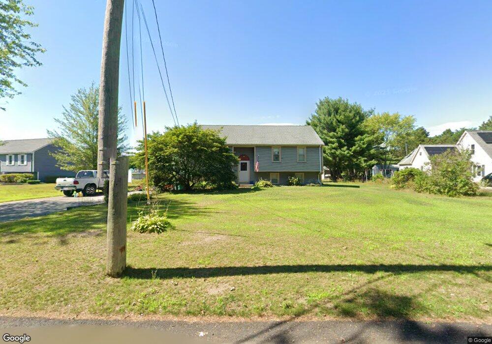
38 Brown Ave Mansfield, MA 02048
Estimated Value: $505,000 - $713,000
3
Beds
2
Baths
1,080
Sq Ft
$571/Sq Ft
Est. Value
About This Home
This home is located at 38 Brown Ave, Mansfield, MA 02048 and is currently estimated at $616,691, approximately $571 per square foot. 38 Brown Ave is a home located in Bristol County with nearby schools including Everett W. Robinson Elementary School, Jordan/Jackson Elementary School, and Harold L. Qualters Middle School.
Ownership History
Date
Name
Owned For
Owner Type
Purchase Details
Closed on
Jan 5, 2024
Sold by
Myers Kenneth E Est and Holleran
Bought by
Holleran Rebecca J and Myers Nathan E
Current Estimated Value
Home Financials for this Owner
Home Financials are based on the most recent Mortgage that was taken out on this home.
Original Mortgage
$162,800
Outstanding Balance
$159,842
Interest Rate
6.75%
Mortgage Type
FHA
Estimated Equity
$456,849
Purchase Details
Closed on
Aug 9, 1996
Sold by
Foley John F and Foley Kristen M
Bought by
Myers Kenneth E
Purchase Details
Closed on
Feb 26, 1993
Sold by
Kuntz Douglas P and Kuntz Rosemary F
Bought by
Foley John F and Anderson Kristen M
Create a Home Valuation Report for This Property
The Home Valuation Report is an in-depth analysis detailing your home's value as well as a comparison with similar homes in the area
Home Values in the Area
Average Home Value in this Area
Purchase History
| Date | Buyer | Sale Price | Title Company |
|---|---|---|---|
| Holleran Rebecca J | -- | None Available | |
| Holleran Rebecca J | -- | None Available | |
| Myers Kenneth E | $141,000 | -- | |
| Foley John F | $128,750 | -- | |
| Myers Kenneth E | $141,000 | -- | |
| Foley John F | $128,750 | -- |
Source: Public Records
Mortgage History
| Date | Status | Borrower | Loan Amount |
|---|---|---|---|
| Open | Holleran Rebecca J | $162,800 | |
| Closed | Holleran Rebecca J | $162,800 | |
| Previous Owner | Foley John F | $15,000 | |
| Previous Owner | Foley John F | $150,000 |
Source: Public Records
Tax History
| Year | Tax Paid | Tax Assessment Tax Assessment Total Assessment is a certain percentage of the fair market value that is determined by local assessors to be the total taxable value of land and additions on the property. | Land | Improvement |
|---|---|---|---|---|
| 2025 | $6,657 | $505,500 | $218,100 | $287,400 |
| 2024 | $6,098 | $451,700 | $218,100 | $233,600 |
| 2023 | $5,938 | $421,400 | $218,100 | $203,300 |
| 2022 | $5,751 | $379,100 | $201,900 | $177,200 |
| 2021 | $5,714 | $372,000 | $187,000 | $185,000 |
| 2020 | $3,821 | $376,900 | $187,000 | $189,900 |
| 2019 | $3,047 | $345,700 | $155,800 | $189,900 |
| 2018 | $2,905 | $316,200 | $141,100 | $175,100 |
| 2017 | $4,739 | $315,500 | $137,100 | $178,400 |
| 2016 | $4,791 | $310,900 | $137,400 | $173,500 |
| 2015 | $4,329 | $279,300 | $130,500 | $148,800 |
Source: Public Records
Map
Nearby Homes
- 24 Maverick Dr
- 25 Munroe Dr
- 25 Shepherd St
- 84 Messenger St
- 9 Coach Rd
- 150 Gilbert St
- 57 Vine St
- 33 Colonial Way
- 128 Tremont St
- 115 Westfield Dr
- 17 Childs Ln
- 28 Messenger St
- 40 Treasure Island Rd
- Lot 5 Jeffrey Dr
- 16 Treasure Island Rd
- Lot 2 Jeffrey Dr
- 14 Claire Ave
- 46 Mirimichi St
- 38 Mirimichi St
- 12 Houde St
Your Personal Tour Guide
Ask me questions while you tour the home.