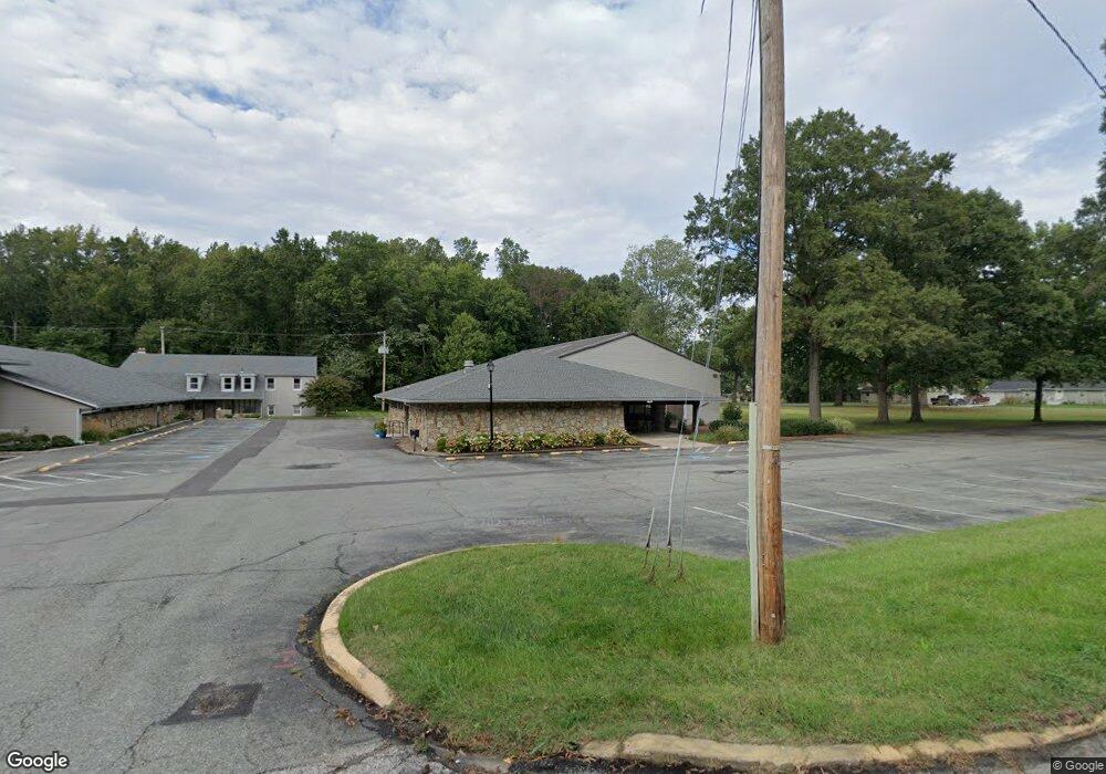
38 Central Ave W Edgewater, MD 21037
Studio
--
Bath
20,389
Sq Ft
129,809
Sq Ft Lot
About This Home
This home is located at 38 Central Ave W, Edgewater, MD 21037. 38 Central Ave W is a home located in Anne Arundel County with nearby schools including Central Elementary School, Central Middle School, and South River High School.
Ownership History
Date
Name
Owned For
Owner Type
Purchase Details
Closed on
Jun 15, 2017
Sold by
First Bapfist Charles Of Edgewater
Bought by
Annapolis Evangelical Luthern Church
Home Financials for this Owner
Home Financials are based on the most recent Mortgage that was taken out on this home.
Original Mortgage
$1,150,000
Outstanding Balance
$956,560
Interest Rate
4.02%
Purchase Details
Closed on
Sep 23, 2016
Sold by
Baptist Convention Of Maryland Delaware
Bought by
First Baptist Church Of Edgewater
Create a Home Valuation Report for This Property
The Home Valuation Report is an in-depth analysis detailing your home's value as well as a comparison with similar homes in the area
Home Values in the Area
Average Home Value in this Area
Purchase History
| Date | Buyer | Sale Price | Title Company |
|---|---|---|---|
| Annapolis Evangelical Luthern Church | $1,950,000 | Mid Maryland Title Co Inc | |
| First Baptist Church Of Edgewater | -- | None Available |
Source: Public Records
Mortgage History
| Date | Status | Borrower | Loan Amount |
|---|---|---|---|
| Open | Annapolis Evangelical Luthern Church | $1,150,000 |
Source: Public Records
Tax History
| Year | Tax Paid | Tax Assessment Tax Assessment Total Assessment is a certain percentage of the fair market value that is determined by local assessors to be the total taxable value of land and additions on the property. | Land | Improvement |
|---|---|---|---|---|
| 2025 | $61 | $1,887,867 | -- | -- |
| 2024 | $61 | $1,819,133 | $0 | $0 |
Source: Public Records
Map
Nearby Homes
- 431 Hamlet Club Dr Unit 102
- 120 Claiborne Rd
- 3160 Rolling Rd
- 127 Duval Ln
- 3515 Cromarty Ln
- 1916 Ridgeville Rd
- 1660 Bay Ridge Rd
- 193 Southdown Rd
- 176 Southdown Rd
- 17 Perder Ln
- 68 Millhaven Ct Unit 168
- 2306 Noblewood Rd
- 1639 Elkridge Dr
- 2200 Shore Dr
- 122 Mulberry Ct
- 1635 Fairhill Dr
- 411 Highland Dr
- 1718 Millstone Dr
- 1622 Chesapeake Dr
- 2033 Shore Dr
- 106 Welches Dr
- 104 Welches Dr
- 111 Welchs Dr
- 109 Welches Dr
- 102 Welches Dr
- 107 Welches Dr
- 111 Welches Dr
- 105 Welches Dr
- 100 Welches Dr
- 103 Welches Dr
- 3481 Pike Ridge Rd
- 3 Steuart Ln
- 3 Daisies Cir
- 1 Daisies Cir
- 1 Daisy Cir
- 3 Daisy Cir
- 3475 Pike Ridge Rd
- 101 Welches Dr
- 3294 Solomons Island Rd
- 4 Steuart Ln
Your Personal Tour Guide
Ask me questions while you tour the home.