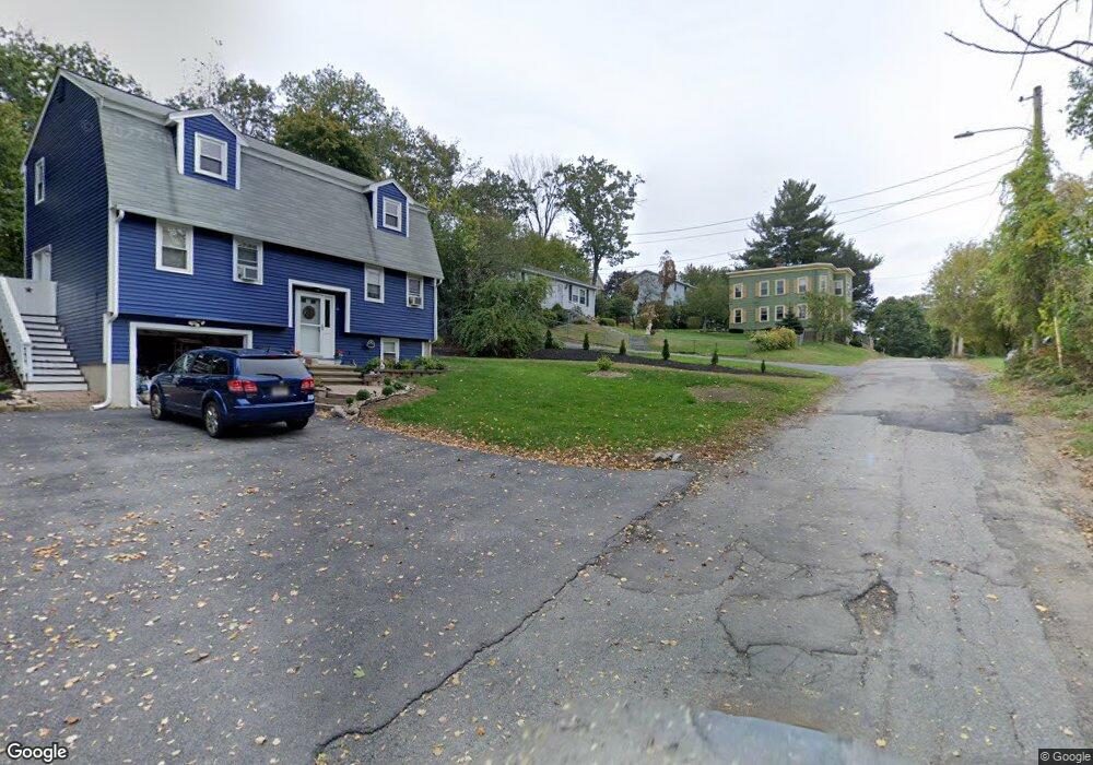
38 Elmore St Methuen, MA 01844
The East End NeighborhoodEstimated Value: $462,000 - $512,890
2
Beds
1
Bath
988
Sq Ft
$500/Sq Ft
Est. Value
About This Home
This home is located at 38 Elmore St, Methuen, MA 01844 and is currently estimated at $493,973, approximately $499 per square foot. 38 Elmore St is a home located in Essex County with nearby schools including South Point Elementary School, Methuen High School, and Community Day Charter Public School - Gateway.
Ownership History
Date
Name
Owned For
Owner Type
Purchase Details
Closed on
Apr 28, 2017
Sold by
Lungo Phyllis M
Bought by
Lungo Ft and Lungo
Current Estimated Value
Purchase Details
Closed on
Oct 8, 2009
Sold by
Winn Beverly A
Bought by
Lungo Phyllis M
Home Financials for this Owner
Home Financials are based on the most recent Mortgage that was taken out on this home.
Original Mortgage
$172,812
Interest Rate
5.14%
Mortgage Type
Purchase Money Mortgage
Create a Home Valuation Report for This Property
The Home Valuation Report is an in-depth analysis detailing your home's value as well as a comparison with similar homes in the area
Home Values in the Area
Average Home Value in this Area
Purchase History
| Date | Buyer | Sale Price | Title Company |
|---|---|---|---|
| Lungo Ft | -- | -- | |
| Lungo Ft | -- | -- | |
| Lungo Ft | -- | -- | |
| Lungo Phyllis M | $176,000 | -- | |
| Lungo Phyllis M | $176,000 | -- |
Source: Public Records
Mortgage History
| Date | Status | Borrower | Loan Amount |
|---|---|---|---|
| Previous Owner | Lungo Phyllis M | $175,000 | |
| Previous Owner | Lungo Phyllis M | $172,812 | |
| Previous Owner | Lungo Phyllis M | $46,000 |
Source: Public Records
Tax History Compared to Growth
Tax History
| Year | Tax Paid | Tax Assessment Tax Assessment Total Assessment is a certain percentage of the fair market value that is determined by local assessors to be the total taxable value of land and additions on the property. | Land | Improvement |
|---|---|---|---|---|
| 2025 | $4,739 | $447,900 | $207,600 | $240,300 |
| 2024 | $4,765 | $438,800 | $188,800 | $250,000 |
| 2023 | $4,507 | $385,200 | $167,000 | $218,200 |
| 2022 | $4,310 | $330,300 | $137,900 | $192,400 |
| 2021 | $4,041 | $306,400 | $130,700 | $175,700 |
| 2020 | $4,031 | $299,900 | $130,700 | $169,200 |
| 2019 | $3,797 | $267,600 | $123,400 | $144,200 |
| 2018 | $3,709 | $259,900 | $123,400 | $136,500 |
| 2017 | $3,493 | $238,400 | $116,200 | $122,200 |
| 2016 | $3,434 | $231,900 | $116,200 | $115,700 |
| 2015 | $3,224 | $220,800 | $108,900 | $111,900 |
Source: Public Records
Map
Nearby Homes
- 17 Ferry Rd
- 45 Christopher Dr Unit 101
- 29 Wallace St
- 27 Russell Farm Dr
- 95 Pilgrim Cir Unit 95
- 23 Constitution Way Unit 23
- 23 Constitution Way
- 2 Goodrich Ave
- 86 Comet Rd
- 128 Pleasant Valley St
- 49 Golf Ave
- 46 Oneida St
- 122 Pleasant Valley St
- 50 Woburn St
- 107 Farrwood Dr Unit 107
- 68 Sterling Ln
- 369 Farrwood Dr
- 406 Farrwood Dr Unit 406
- 414 Farrwood Dr Unit 414
- 14 S Riverview St
- 36 Elmore St
- 40 Elmore St
- 55 Berwick St
- 81 Baltic St
- 35 Elmore St
- 25 Elmore St
- 55 Baltic St
- 11 Bridge St
- 87 Baltic St
- 9 Bridge St
- 61 Berwick St
- 61 Berwick St Unit 2nd Floor
- 61 Berwick St Unit 1st Floor
- 60 Berwick St
- 60 Berwick St Unit 1
- 42 Elmore St
- 25 Bridge St
- 15 Zoar St
- 369 Merrimack St Unit D
- 369 Merrimack St Unit F