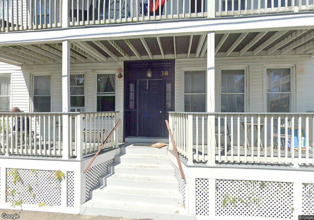
38 Forrest St Unit 2R Winthrop, MA 02152
Winthrop Beach NeighborhoodEstimated Value: $427,000 - $506,000
3
Beds
1
Bath
945
Sq Ft
$478/Sq Ft
Est. Value
About This Home
This home is located at 38 Forrest St Unit 2R, Winthrop, MA 02152 and is currently estimated at $451,545, approximately $477 per square foot. 38 Forrest St Unit 2R is a home located in Suffolk County with nearby schools including William P. Gorman/Fort Banks Elementary School, Arthur T. Cummings Elementary School, and Winthrop Middle School.
Ownership History
Date
Name
Owned For
Owner Type
Purchase Details
Closed on
Dec 26, 2000
Sold by
Kris-Jamie Rt
Bought by
Levin Igor
Current Estimated Value
Home Financials for this Owner
Home Financials are based on the most recent Mortgage that was taken out on this home.
Original Mortgage
$80,950
Outstanding Balance
$30,236
Interest Rate
7.71%
Mortgage Type
Purchase Money Mortgage
Estimated Equity
$421,309
Create a Home Valuation Report for This Property
The Home Valuation Report is an in-depth analysis detailing your home's value as well as a comparison with similar homes in the area
Home Values in the Area
Average Home Value in this Area
Purchase History
| Date | Buyer | Sale Price | Title Company |
|---|---|---|---|
| Levin Igor | $162,000 | -- |
Source: Public Records
Mortgage History
| Date | Status | Borrower | Loan Amount |
|---|---|---|---|
| Open | Levin Igor | $80,950 |
Source: Public Records
Tax History
| Year | Tax Paid | Tax Assessment Tax Assessment Total Assessment is a certain percentage of the fair market value that is determined by local assessors to be the total taxable value of land and additions on the property. | Land | Improvement |
|---|---|---|---|---|
| 2025 | $3,592 | $348,100 | $0 | $348,100 |
| 2024 | $3,477 | $333,700 | $0 | $333,700 |
| 2023 | $2,693 | $251,700 | $0 | $251,700 |
| 2022 | $2,799 | $238,000 | $0 | $238,000 |
| 2021 | $2,866 | $226,000 | $0 | $226,000 |
| 2020 | $2,766 | $219,200 | $0 | $219,200 |
| 2019 | $2,753 | $208,900 | $0 | $208,900 |
| 2018 | $2,771 | $195,700 | $0 | $195,700 |
| 2017 | $2,689 | $186,600 | $0 | $186,600 |
| 2016 | $2,737 | $178,100 | $0 | $178,100 |
| 2015 | $2,504 | $174,600 | $0 | $174,600 |
| 2014 | $2,480 | $159,200 | $0 | $159,200 |
Source: Public Records
Map
Nearby Homes
- 148 Winthrop Shore Dr Unit 5
- 43-45 Ocean Ave
- 37 Trident Ave
- 53 Trident Ave Unit 103
- 53 Trident Ave Unit 204
- 53 Trident Ave Unit 303
- 10-12 Charles St
- 10 Beach Rd Unit 1
- 600 Shirley St Unit 3
- 600 Shirley St Unit 1
- 600 Shirley St Unit 4
- 140 Shirley St Unit 202
- 140 Shirley St Unit 204
- 62 Cottage Ave
- 80 Shirley St
- 72 Fremont St
- 270 Winthrop St Unit 2
- 426 Winthrop St
- 441 Winthrop St
- 66 Plummer Ave Unit 3
- 38 Forrest St Unit 3R
- 38 Forrest St Unit 3L
- 38 Forrest St Unit 2L
- 38 Forrest St Unit 1R
- 38 Forrest St Unit 1L
- 43 Dolphin Ave
- 36 Forrest St Unit 1
- 47 Dolphin Ave Unit 2
- 45 Forrest St
- 120 Winthrop Shore Dr
- 37 Dolphin Ave
- 37 Dolphin Ave Unit 2
- 122 Winthrop Shore Dr
- 118 Winthrop Shore Dr
- 117 Winthrop Shore Dr
- 117 Winthrop Shore Dr Unit 6
- 42 Nevada St Unit 2
- 42 Nevada St Unit 1
- 42 Nevada St
- 26 Forrest St Unit 2
Your Personal Tour Guide
Ask me questions while you tour the home.