38 Freedom Ln Unit A Laconia, NH 03246
Estimated Value: $646,000 - $746,229
3
Beds
3
Baths
1,456
Sq Ft
$478/Sq Ft
Est. Value
About This Home
This home is located at 38 Freedom Ln Unit A, Laconia, NH 03246 and is currently estimated at $696,057, approximately $478 per square foot. 38 Freedom Ln Unit A is a home located in Belknap County with nearby schools including Laconia Middle School, Laconia High School, and Laconia Christian Academy.
Ownership History
Date
Name
Owned For
Owner Type
Purchase Details
Closed on
Mar 1, 2013
Sold by
Baker Bernard W and Baker Lisa M
Bought by
Macvicar Norman A and Macvicar Nancy L
Current Estimated Value
Purchase Details
Closed on
Apr 17, 2009
Sold by
Clausen Frederick K and Clausen Maureen Q
Bought by
Baker Bernard W and Baker Lisa M
Home Financials for this Owner
Home Financials are based on the most recent Mortgage that was taken out on this home.
Original Mortgage
$180,750
Interest Rate
5.02%
Mortgage Type
Purchase Money Mortgage
Create a Home Valuation Report for This Property
The Home Valuation Report is an in-depth analysis detailing your home's value as well as a comparison with similar homes in the area
Home Values in the Area
Average Home Value in this Area
Purchase History
| Date | Buyer | Sale Price | Title Company |
|---|---|---|---|
| Macvicar Norman A | $230,500 | -- | |
| Baker Bernard W | $245,500 | -- |
Source: Public Records
Mortgage History
| Date | Status | Borrower | Loan Amount |
|---|---|---|---|
| Previous Owner | Baker Bernard W | $180,750 |
Source: Public Records
Tax History Compared to Growth
Tax History
| Year | Tax Paid | Tax Assessment Tax Assessment Total Assessment is a certain percentage of the fair market value that is determined by local assessors to be the total taxable value of land and additions on the property. | Land | Improvement |
|---|---|---|---|---|
| 2024 | $9,223 | $676,700 | $0 | $676,700 |
| 2023 | $8,055 | $579,100 | $0 | $579,100 |
| 2022 | $7,649 | $515,100 | $0 | $515,100 |
| 2021 | $6,818 | $361,500 | $0 | $361,500 |
| 2020 | $5,727 | $290,400 | $0 | $290,400 |
| 2019 | $6,045 | $293,600 | $0 | $293,600 |
| 2018 | $6,188 | $296,800 | $0 | $296,800 |
| 2017 | $5,154 | $245,100 | $0 | $245,100 |
| 2016 | $6,132 | $276,200 | $0 | $276,200 |
| 2015 | $5,756 | $259,300 | $0 | $259,300 |
| 2014 | $5,510 | $246,000 | $0 | $246,000 |
| 2013 | $5,432 | $246,000 | $0 | $246,000 |
Source: Public Records
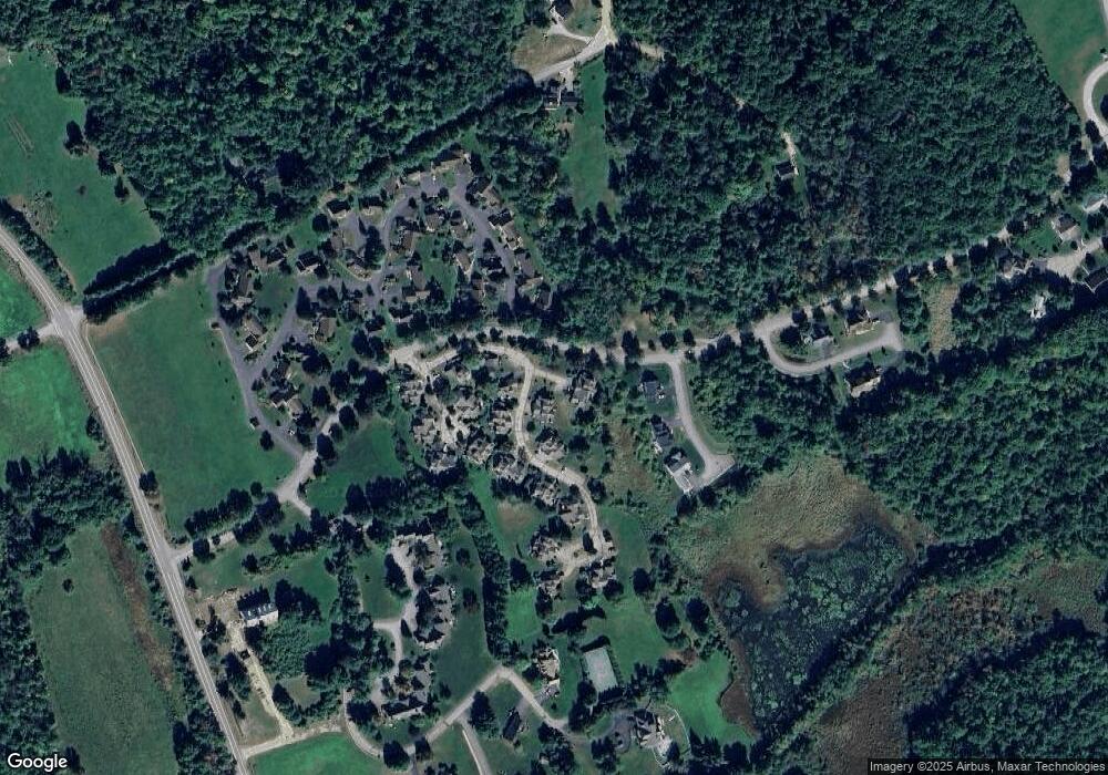
Map
Nearby Homes
- 12 Clover Ln
- 2 Clover Ln
- 1 Clover Ln Unit 1
- 00000 Severance Rd
- 20 Linny Ln
- 6 Anthony Dr
- 6 Independence Way Unit A
- 25 Sweetbrier Way
- 37 Alpine Cir Unit A
- 53 Drummer Trail
- 11 Lantern Cir
- 74 Paugus Park Rd
- 90 Paugus Park Rd
- 3 Western Terrace
- 16 Hackberry Ln
- 436 Elm St
- 224 Long Bay Dr
- 1480 Old North Main St Unit 6
- 1480 Old N Main St Unit 14
- 32 Eastman Shore Rd S
- 15 Liberty Run
- 15 Liberty Run
- 30 Freedom Ln Unit B
- 30 Freedom Ln Unit A
- 38 Freedom Ln Unit B
- 50 Freedom Ln Unit A
- 50 Freedom Ln Unit B
- 72 Freedom Ln Unit A
- 72 Freedom Ln Unit B
- 77 Freedom Ln Unit B
- 63 Freedom Ln Unit B
- 63 Freedom Ln Unit A
- 53 Freedom Ln Unit B
- 53 Freedom Ln Unit A
- 45 Freedom Ln Unit B
- 45 Freedom Ln Unit A
- 39 Freedom Ln Unit B
- 39 Freedom Ln Unit A
- 12 Liberty Run Unit B
- 16 Liberty Run Unit A