38 Green Tree Dr Kalispell, MT 59901
Estimated Value: $403,000 - $669,000
3
Beds
3
Baths
2,074
Sq Ft
$263/Sq Ft
Est. Value
About This Home
This home is located at 38 Green Tree Dr, Kalispell, MT 59901 and is currently estimated at $545,907, approximately $263 per square foot. 38 Green Tree Dr is a home located in Flathead County with nearby schools including Lakeside Elementary School, Somers Middle School, and Flathead High School.
Ownership History
Date
Name
Owned For
Owner Type
Purchase Details
Closed on
Nov 10, 2023
Sold by
Sward Michael John
Bought by
Hartle Laurell Rose and Sward Brook Michael
Current Estimated Value
Purchase Details
Closed on
Mar 12, 2007
Sold by
Black Mark A and Black Kay M
Bought by
Sward Michael
Home Financials for this Owner
Home Financials are based on the most recent Mortgage that was taken out on this home.
Original Mortgage
$214,515
Interest Rate
6.75%
Mortgage Type
Future Advance Clause Open End Mortgage
Create a Home Valuation Report for This Property
The Home Valuation Report is an in-depth analysis detailing your home's value as well as a comparison with similar homes in the area
Home Values in the Area
Average Home Value in this Area
Purchase History
| Date | Buyer | Sale Price | Title Company |
|---|---|---|---|
| Hartle Laurell Rose | -- | None Listed On Document | |
| Sward Michael | -- | Alliance Title |
Source: Public Records
Mortgage History
| Date | Status | Borrower | Loan Amount |
|---|---|---|---|
| Previous Owner | Sward Michael | $214,515 |
Source: Public Records
Tax History Compared to Growth
Tax History
| Year | Tax Paid | Tax Assessment Tax Assessment Total Assessment is a certain percentage of the fair market value that is determined by local assessors to be the total taxable value of land and additions on the property. | Land | Improvement |
|---|---|---|---|---|
| 2025 | $2,040 | $570,700 | $0 | $0 |
| 2024 | $2,410 | $426,400 | $0 | $0 |
| 2023 | $2,441 | $426,400 | $0 | $0 |
| 2022 | $2,412 | $310,800 | $0 | $0 |
| 2021 | $2,425 | $310,800 | $0 | $0 |
| 2020 | $2,168 | $266,800 | $0 | $0 |
| 2019 | $2,135 | $266,800 | $0 | $0 |
| 2018 | $1,955 | $232,100 | $0 | $0 |
| 2017 | $1,671 | $232,100 | $0 | $0 |
| 2016 | $1,531 | $200,600 | $0 | $0 |
| 2015 | $1,582 | $200,600 | $0 | $0 |
| 2014 | $1,638 | $131,069 | $0 | $0 |
Source: Public Records
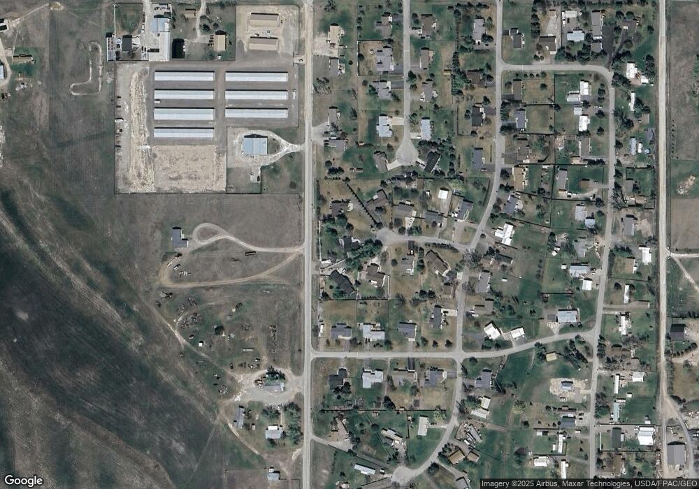
Map
Nearby Homes
- 3943 Lower Valley Rd
- 2883 & 2879 Lower Valley Rd
- 1340 Willow Glen Dr Unit 19
- 1340 Willow Glen Dr Unit 26
- 1340 Willow Glen Dr Unit 23
- 50 Twin Acres Dr Unit 11
- NHN U S 93 S
- 11 Muskrat Dr
- 115 Russell Dr
- 2455 Us Highway 93 S
- 42 Muskrat Dr
- 2147 S Woodland Dr
- 14 Wind River Dr
- 59 Honeysuckle Ln
- 135 School House Loop
- 1906 S Woodland Dr Unit 1
- 71 Wind River Dr
- 1203 Pheasant Hollow Way
- 1571 Haven Dr
- 151 Rocky Meadows Loop
- 37 Green Tree Dr
- 34 Green Tree Dr
- 30 Green Tree Dr
- 33 Green Tree Dr
- 26 Green Tree Dr
- 29 Green Tree Dr
- 205 Demersville Rd
- 23 Bar h Dr
- 27 Bar h Dr
- 40 Silver Leaf Dr
- 40 Silverleaf Dr
- 116 Ekalaka Ln
- 25 Green Tree Dr
- 31 Bar h Dr
- 117 Ekalaka Ln
- 112 Ekalaka Ln
- 50 Silver Leaf Dr
- 30 Silver Leaf Dr
- 201 Demersville Rd
- 28 Bar h Dr