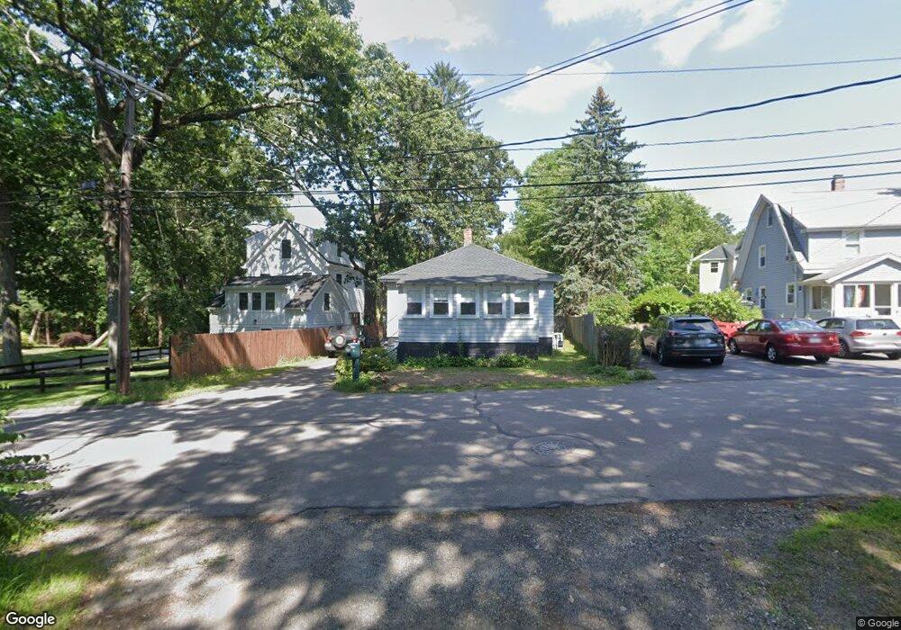
38 Grove Rd Natick, MA 01760
Estimated Value: $430,000 - $547,000
2
Beds
1
Bath
576
Sq Ft
$886/Sq Ft
Est. Value
About This Home
This home is located at 38 Grove Rd, Natick, MA 01760 and is currently estimated at $510,436, approximately $886 per square foot. 38 Grove Rd is a home located in Middlesex County with nearby schools including Natick High School, Lilja Elementary School, and Wilson Middle School.
Ownership History
Date
Name
Owned For
Owner Type
Purchase Details
Closed on
Jul 7, 2022
Sold by
Teas Alan S Est
Bought by
Messina Maureen
Current Estimated Value
Purchase Details
Closed on
Mar 28, 1997
Sold by
Rentel Sandra M and Munro Sandra M
Bought by
Teas Alan S and Teas Gordon W
Home Financials for this Owner
Home Financials are based on the most recent Mortgage that was taken out on this home.
Original Mortgage
$64,000
Interest Rate
7.59%
Mortgage Type
Purchase Money Mortgage
Create a Home Valuation Report for This Property
The Home Valuation Report is an in-depth analysis detailing your home's value as well as a comparison with similar homes in the area
Home Values in the Area
Average Home Value in this Area
Purchase History
| Date | Buyer | Sale Price | Title Company |
|---|---|---|---|
| Messina Maureen | -- | None Available | |
| Teas Alan S | $152,000 | -- |
Source: Public Records
Mortgage History
| Date | Status | Borrower | Loan Amount |
|---|---|---|---|
| Previous Owner | Teas Alan S | $64,000 | |
| Previous Owner | Teas Alan S | $20,000 |
Source: Public Records
Tax History
| Year | Tax Paid | Tax Assessment Tax Assessment Total Assessment is a certain percentage of the fair market value that is determined by local assessors to be the total taxable value of land and additions on the property. | Land | Improvement |
|---|---|---|---|---|
| 2025 | $5,433 | $454,300 | $361,800 | $92,500 |
| 2024 | $5,255 | $428,600 | $340,600 | $88,000 |
| 2023 | $5,363 | $424,300 | $327,800 | $96,500 |
| 2022 | $5,157 | $386,600 | $298,000 | $88,600 |
| 2021 | $4,964 | $364,700 | $281,000 | $83,700 |
| 2020 | $4,811 | $353,500 | $268,200 | $85,300 |
| 2019 | $4,493 | $353,500 | $268,200 | $85,300 |
| 2018 | $4,036 | $309,300 | $255,400 | $53,900 |
| 2017 | $3,642 | $270,000 | $217,100 | $52,900 |
| 2016 | $3,184 | $234,600 | $185,300 | $49,300 |
| 2015 | $3,184 | $230,400 | $185,300 | $45,100 |
Source: Public Records
Map
Nearby Homes
- 1 Pineridge Rd
- 42 Grove Rd
- 5 Pineridge Rd
- 2 Buena Vista Rd
- 34 Grove Rd
- 33 Grove Rd
- 32 Grove Rd
- 6 Pineridge Rd
- 27 Grove Rd
- 22 Laconia Rd
- 18 Laconia Rd
- 18(aka 20) Laconia Rd
- 3 Buena Vista Rd
- 3 Buena Vista Rd Unit 1
- 37 Grove Rd
- 30 Grove Rd
- 44 Grove Rd
- 1 Morses Pond Rd
- 26 Buena Vista Rd
- 7 Buena Vista Rd
Your Personal Tour Guide
Ask me questions while you tour the home.