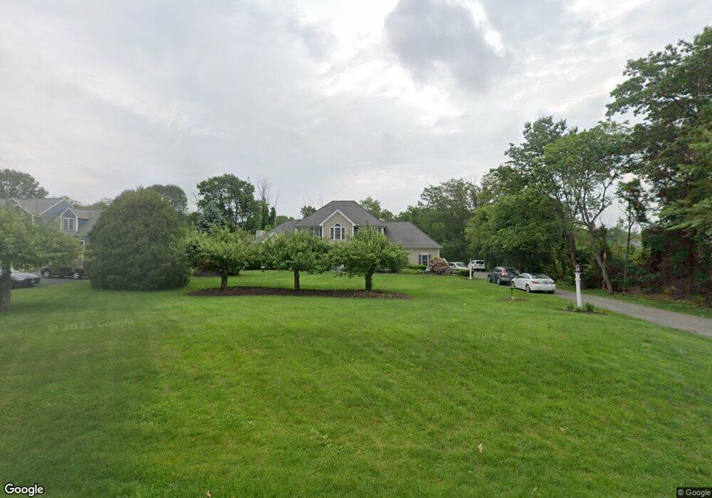
38 High Range Rd Londonderry, NH 03053
Estimated Value: $818,006 - $866,000
4
Beds
3
Baths
2,870
Sq Ft
$294/Sq Ft
Est. Value
About This Home
This home is located at 38 High Range Rd, Londonderry, NH 03053 and is currently estimated at $844,502, approximately $294 per square foot. 38 High Range Rd is a home with nearby schools including Matthew Thornton Elementary School, Londonderry Middle School, and Londonderry Senior High School.
Ownership History
Date
Name
Owned For
Owner Type
Purchase Details
Closed on
Apr 7, 2017
Sold by
Small Daniel J
Bought by
Small Daniel J and Small Amity F
Current Estimated Value
Purchase Details
Closed on
Feb 10, 2016
Sold by
Demille Melissa
Bought by
Small Daniel J
Home Financials for this Owner
Home Financials are based on the most recent Mortgage that was taken out on this home.
Original Mortgage
$249,800
Interest Rate
4.02%
Mortgage Type
Purchase Money Mortgage
Create a Home Valuation Report for This Property
The Home Valuation Report is an in-depth analysis detailing your home's value as well as a comparison with similar homes in the area
Home Values in the Area
Average Home Value in this Area
Purchase History
| Date | Buyer | Sale Price | Title Company |
|---|---|---|---|
| Small Daniel J | -- | -- | |
| Small Daniel J | -- | -- |
Source: Public Records
Mortgage History
| Date | Status | Borrower | Loan Amount |
|---|---|---|---|
| Previous Owner | Small Daniel J | $249,800 |
Source: Public Records
Tax History Compared to Growth
Tax History
| Year | Tax Paid | Tax Assessment Tax Assessment Total Assessment is a certain percentage of the fair market value that is determined by local assessors to be the total taxable value of land and additions on the property. | Land | Improvement |
|---|---|---|---|---|
| 2024 | $11,054 | $684,900 | $199,900 | $485,000 |
| 2023 | $10,719 | $684,900 | $199,900 | $485,000 |
| 2022 | $10,210 | $552,500 | $149,800 | $402,700 |
| 2021 | $10,155 | $552,500 | $149,800 | $402,700 |
| 2020 | $10,773 | $535,700 | $117,200 | $418,500 |
| 2019 | $10,387 | $535,700 | $117,200 | $418,500 |
| 2018 | $9,819 | $450,400 | $95,800 | $354,600 |
| 2017 | $9,733 | $450,400 | $95,800 | $354,600 |
| 2016 | $9,684 | $450,400 | $95,800 | $354,600 |
| 2015 | $9,467 | $450,400 | $95,800 | $354,600 |
| 2014 | $9,499 | $450,400 | $95,800 | $354,600 |
| 2011 | -- | $454,800 | $95,800 | $359,000 |
Source: Public Records
Map
Nearby Homes
- 1 Delphi Way
- 1 Delphi Way Unit 10
- 5 Delphi Way
- 7 Delphi Way
- 88 High Range Rd
- 90 High Range Rd
- 69 Bayberry Ln
- 95 Bayberry Ln
- 4 Sunset Dr Unit A
- 17 Lily Ln
- 19 Lily Ln
- 1 Lily Ln
- 4 Quincy Rd
- 4 Quincy Rd Unit A
- 15 Alan Cir
- 27 Midridge Cir
- 11 Midridge Cir Unit 116
- 11 Elise Ave Unit Lot 91
- 7A Kingston Way Unit A
- 214 Winding Pond Rd
- 40 High Range Rd
- 1 Macintosh Dr
- 3 Macintosh Dr
- 47 High Range Rd
- 42 High Range Rd
- 121 Adams Rd
- 49 High Range Rd
- 5 Macintosh Dr
- 123 Adams Rd
- 43 High Range Rd
- 4 Macintosh Dr
- 32 High Range Rd
- 7 Macintosh Dr
- 41 High Range Rd
- 53 High Range Rd
- 119 Adams Rd
- 46 High Range Rd
- 115 Adams Rd
- 39 High Range Rd
- 6 Macintosh Dr