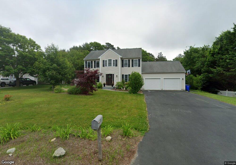
38 High Ridge Dr Bourne, MA 2532
Estimated Value: $715,327 - $810,000
4
Beds
3
Baths
2,112
Sq Ft
$366/Sq Ft
Est. Value
About This Home
This home is located at 38 High Ridge Dr, Bourne, MA 2532 and is currently estimated at $773,332, approximately $366 per square foot. 38 High Ridge Dr is a home located in Barnstable County with nearby schools including Bourne High School, St Margaret Regional School, and New Testament Christian School.
Ownership History
Date
Name
Owned For
Owner Type
Purchase Details
Closed on
Jun 30, 2005
Sold by
Ahern Brendan D and Ahern Elizabeth A
Bought by
Freidman Adam D and Freidman Cynthia M
Current Estimated Value
Home Financials for this Owner
Home Financials are based on the most recent Mortgage that was taken out on this home.
Original Mortgage
$400,000
Outstanding Balance
$207,087
Interest Rate
5.73%
Mortgage Type
Purchase Money Mortgage
Estimated Equity
$566,245
Purchase Details
Closed on
Aug 3, 2001
Sold by
Nightingale Ltd Div
Bought by
Ahern Brendan D and Ahern Elizabeth A
Create a Home Valuation Report for This Property
The Home Valuation Report is an in-depth analysis detailing your home's value as well as a comparison with similar homes in the area
Home Values in the Area
Average Home Value in this Area
Purchase History
| Date | Buyer | Sale Price | Title Company |
|---|---|---|---|
| Freidman Adam D | $430,000 | -- | |
| Ahern Brendan D | $261,500 | -- | |
| Freidman Adam D | $430,000 | -- | |
| Ahern Brendan D | $261,500 | -- |
Source: Public Records
Mortgage History
| Date | Status | Borrower | Loan Amount |
|---|---|---|---|
| Open | Freidman Adam D | $400,000 | |
| Closed | Ahern Brendan D | $400,000 | |
| Previous Owner | Ahern Brendan D | $310,000 | |
| Previous Owner | Ahern Brendan D | $230,000 |
Source: Public Records
Tax History Compared to Growth
Tax History
| Year | Tax Paid | Tax Assessment Tax Assessment Total Assessment is a certain percentage of the fair market value that is determined by local assessors to be the total taxable value of land and additions on the property. | Land | Improvement |
|---|---|---|---|---|
| 2025 | $5,142 | $658,400 | $214,100 | $444,300 |
| 2024 | $5,066 | $631,700 | $203,900 | $427,800 |
| 2023 | $5,108 | $579,800 | $196,800 | $383,000 |
| 2022 | $4,689 | $464,700 | $174,200 | $290,500 |
| 2021 | $4,590 | $426,200 | $158,500 | $267,700 |
| 2020 | $4,483 | $417,400 | $157,000 | $260,400 |
| 2019 | $4,263 | $405,600 | $157,000 | $248,600 |
| 2018 | $4,072 | $386,300 | $149,500 | $236,800 |
| 2017 | $3,905 | $379,100 | $142,000 | $237,100 |
| 2016 | $3,665 | $360,700 | $129,600 | $231,100 |
| 2015 | $3,570 | $354,500 | $123,400 | $231,100 |
Source: Public Records
Map
Nearby Homes
- 23 Settlers Way
- 18 Heather Hill Rd
- 4 Knob Ln
- 4 Mainstay Ln
- 171 Puritan Rd
- 304 Main St
- 162 Puritan Rd
- 29 Weather Deck Rd
- 24 Ships View Terrace
- 27 Ships View Terrace
- 90-92 Sandwich Rd Unit 9C
- 38 Old Bridge Rd
- 7 Mizzen Ln
- 41 Lewis Point Rd
- 90-92 Sandwich Rd Unit 2
- 0 Lewis Point Rd
- 65 Lewis Point Rd
- 73 Lewis Point Rd
- 60 Sandwich Rd
- 2 Dogwood Rd Unit 2
- 38 High Ridge Dr
- 40 High Ridge Dr
- 40 High Ridge Dr
- 36 High Ridge Dr
- 42 High Ridge Dr
- 34 High Ridge Dr
- 42 High Ridge Dr
- 2 Breakers Dr
- 34 High Ridge Dr
- 44 High Ridge Dr
- 2 Breakers Dr
- 4 Breakers Dr
- 4 Breakers Dr
- 43 High Ridge Dr
- 43 High Ridge Dr
- 1 Breakers Dr
- 32 High Ridge Dr
- 46 High Ridge Dr
- 30 High Ridge Dr
- 31 High Ridge Dr