38 Highland Dr Amston, CT 06231
Estimated Value: $600,000 - $716,000
3
Beds
3
Baths
3,054
Sq Ft
$213/Sq Ft
Est. Value
About This Home
This home is located at 38 Highland Dr, Amston, CT 06231 and is currently estimated at $651,218, approximately $213 per square foot. 38 Highland Dr is a home located in Tolland County with nearby schools including Gilead Hill School, Hebron Elementary School, and RHAM Middle School.
Ownership History
Date
Name
Owned For
Owner Type
Purchase Details
Closed on
Aug 3, 2009
Sold by
Ayer Jack
Bought by
Portelance-Ayer Alyson
Current Estimated Value
Purchase Details
Closed on
Jan 12, 2004
Sold by
Millstream Highlands L
Bought by
K M Dev Llc
Home Financials for this Owner
Home Financials are based on the most recent Mortgage that was taken out on this home.
Original Mortgage
$256,544
Interest Rate
4%
Create a Home Valuation Report for This Property
The Home Valuation Report is an in-depth analysis detailing your home's value as well as a comparison with similar homes in the area
Home Values in the Area
Average Home Value in this Area
Purchase History
| Date | Buyer | Sale Price | Title Company |
|---|---|---|---|
| Portelance-Ayer Alyson | -- | -- | |
| K M Dev Llc | $95,000 | -- |
Source: Public Records
Mortgage History
| Date | Status | Borrower | Loan Amount |
|---|---|---|---|
| Previous Owner | K M Dev Llc | $256,544 |
Source: Public Records
Tax History Compared to Growth
Tax History
| Year | Tax Paid | Tax Assessment Tax Assessment Total Assessment is a certain percentage of the fair market value that is determined by local assessors to be the total taxable value of land and additions on the property. | Land | Improvement |
|---|---|---|---|---|
| 2025 | $11,337 | $307,650 | $57,050 | $250,600 |
| 2024 | $10,614 | $307,650 | $57,050 | $250,600 |
| 2023 | $10,211 | $307,650 | $57,050 | $250,600 |
| 2022 | $9,753 | $307,650 | $57,050 | $250,600 |
| 2021 | $10,463 | $287,990 | $57,050 | $230,940 |
| 2020 | $10,463 | $287,990 | $57,050 | $230,940 |
| 2019 | $10,670 | $287,990 | $57,050 | $230,940 |
| 2018 | $10,782 | $287,990 | $57,050 | $230,940 |
| 2017 | $10,656 | $287,990 | $57,050 | $230,940 |
| 2016 | $11,401 | $319,900 | $98,910 | $220,990 |
| 2015 | $11,516 | $319,900 | $98,910 | $220,990 |
| 2014 | $11,436 | $319,900 | $98,910 | $220,990 |
Source: Public Records
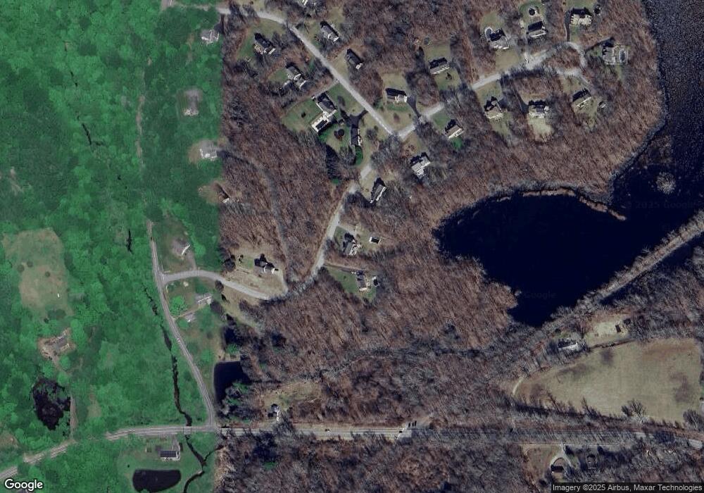
Map
Nearby Homes
- 88 Highland Dr
- 255 Millstream Rd
- 6 Deepwood Dr
- 40 Cannon Dr
- 0 Deepwood Dr
- 34 Spafford Dr
- 0 Kellys Corner
- 80 Wellswood Rd Unit 9
- 00 Zola Rd
- 65 Wellswood Rd
- 65 Attawanhood Trail
- 2 Lots on Deepwood Dr
- 185 Deepwood Dr
- 14 Woodside Rd
- 285 Deepwood Dr
- 25 Woodland Dr
- 22 Gilbert Ln Unit 22
- 30 Island Beach Rd
- 1 Church St
- 2 Church St
- 44 Highland Dr
- 38 Mint Brook Ln
- 32 Highland Dr
- 25 Highland Dr
- 0 Highland Drive Lot #30 Unit G483465
- 0 Highland Lot# 30 Unit G507326
- 9 Highland Dr
- 21 Highland Dr
- 58 Highland Dr
- 36 Mint Brook Ln
- 23 Highland Dr
- 9 Highland Dr
- 30 Mint Brook Ln
- 25 Highland Dr
- 339 Mill Stream Rd
- 66 Highland Dr
- 53 Lebanon Rd
- 33 Mint Brook Ln
- 12 Mint Brook Ln
- 22 Mint Brook Ln