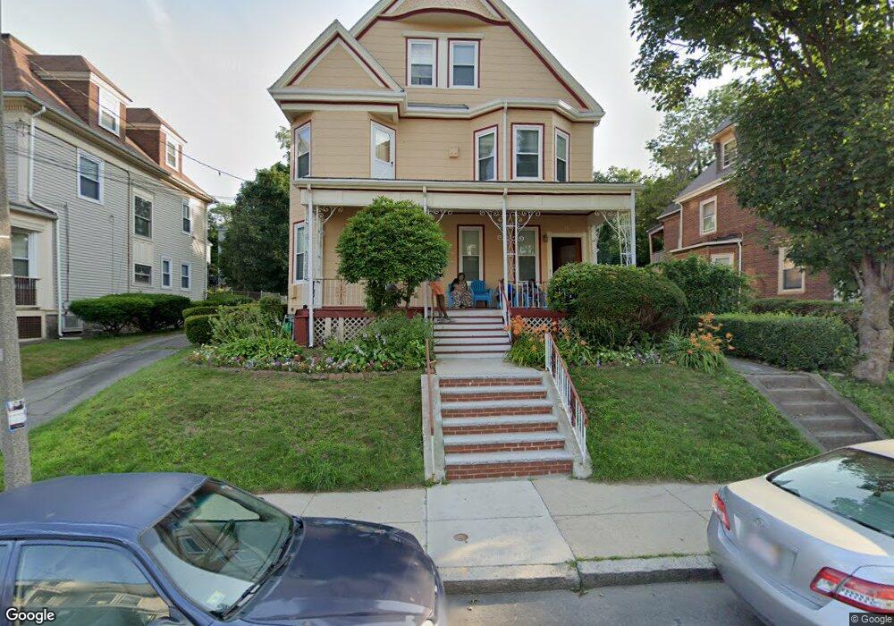
38 Howland St Dorchester, MA 02121
Washington Park NeighborhoodEstimated Value: $706,000 - $1,020,000
6
Beds
4
Baths
4,468
Sq Ft
$200/Sq Ft
Est. Value
About This Home
This home is located at 38 Howland St, Dorchester, MA 02121 and is currently estimated at $894,388, approximately $200 per square foot. 38 Howland St is a home located in Suffolk County with nearby schools including Bridge Boston Charter School and Mother Caroline Academy & Education Center.
Ownership History
Date
Name
Owned For
Owner Type
Purchase Details
Closed on
Nov 26, 2018
Sold by
Rowe Diatrise L and Rowe Eunice E
Bought by
Rowes T
Current Estimated Value
Purchase Details
Closed on
Sep 27, 1989
Sold by
Sharif Audrey
Bought by
Rowe Diatrise L
Home Financials for this Owner
Home Financials are based on the most recent Mortgage that was taken out on this home.
Original Mortgage
$166,500
Interest Rate
9.92%
Mortgage Type
Purchase Money Mortgage
Create a Home Valuation Report for This Property
The Home Valuation Report is an in-depth analysis detailing your home's value as well as a comparison with similar homes in the area
Home Values in the Area
Average Home Value in this Area
Purchase History
| Date | Buyer | Sale Price | Title Company |
|---|---|---|---|
| Rowes T | -- | -- | |
| Rowe Diatrise L | $185,000 | -- |
Source: Public Records
Mortgage History
| Date | Status | Borrower | Loan Amount |
|---|---|---|---|
| Previous Owner | Rowe Diatrise L | $164,000 | |
| Previous Owner | Rowe Diatrise L | $166,500 | |
| Previous Owner | Rowe Diatrise L | $34,617 |
Source: Public Records
Tax History Compared to Growth
Tax History
| Year | Tax Paid | Tax Assessment Tax Assessment Total Assessment is a certain percentage of the fair market value that is determined by local assessors to be the total taxable value of land and additions on the property. | Land | Improvement |
|---|---|---|---|---|
| 2025 | $8,812 | $761,000 | $305,600 | $455,400 |
| 2024 | $7,921 | $726,700 | $265,100 | $461,600 |
| 2023 | $7,297 | $679,400 | $247,900 | $431,500 |
| 2022 | $6,719 | $617,600 | $225,300 | $392,300 |
| 2021 | $6,159 | $577,200 | $210,600 | $366,600 |
| 2020 | $5,124 | $485,200 | $206,300 | $278,900 |
| 2019 | $4,748 | $450,500 | $156,200 | $294,300 |
| 2018 | $4,372 | $417,200 | $156,200 | $261,000 |
| 2017 | $4,248 | $401,100 | $156,200 | $244,900 |
| 2016 | $3,938 | $358,000 | $156,200 | $201,800 |
| 2015 | $3,420 | $282,400 | $99,300 | $183,100 |
| 2014 | $3,048 | $242,300 | $99,300 | $143,000 |
Source: Public Records
Map
Nearby Homes
- 164 Ruthven St Unit 1
- 28 Wabon St
- 7 Waumbeck St Unit 3
- 4 Wyoming St Unit 2
- 214 Humboldt Ave
- 495 Warren St
- 476 Warren St
- 75 Ruthven St
- 78 Hutchings St Unit 1
- 5 Glenburne St
- 2 Otisfield St
- 99 Harrishof St
- 32 Hartwell St
- 8 Weldon St
- 12 Weldon St
- 9 Abbotsford St Unit 1
- 151 Townsend St
- 40 Devon St Unit 3
- 352 Blue Hill Ave Unit 8
- 340 Blue Hill Ave
- 36 Howland St
- 40 Howland St
- 40 Howland St Unit 2
- 42 Howland St
- 34 Howland St
- 34 Howland St Unit 2
- 57 Crawford St
- 39 Howland St
- 39 Howland St Unit 1
- 39 Howland St Unit 2
- 37 Howland St
- 37 Howland St Unit 2
- 53 Crawford St
- 55 Crawford St Unit 55A
- 55 Crawford St
- 55 Crawford St Unit 2
- 32 Howland St Unit 32A
- 32 Howland St Unit 2
- 70 Howland St
- 70 Howland St Unit 3