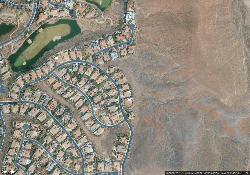
38 Kittansett Loop Henderson, NV 89052
Estimated Value: $1,471,676 - $1,709,000
4
Beds
4
Baths
3,374
Sq Ft
$473/Sq Ft
Est. Value
About This Home
This home is located at 38 Kittansett Loop, Henderson, NV 89052 and is currently estimated at $1,596,169, approximately $473 per square foot. 38 Kittansett Loop is a home located in Clark County with nearby schools including Frank S Lamping Elementary School, Del E. Webb Middle School, and Coronado High School.
Ownership History
Date
Name
Owned For
Owner Type
Purchase Details
Closed on
Apr 27, 2011
Sold by
Mcclintock Donald and Mcclintock Tamise
Bought by
Chang Amy and Chang Yue Ting
Current Estimated Value
Purchase Details
Closed on
Mar 9, 2011
Sold by
Olson Michael K and Oesterman Melinda Olson
Bought by
Mclintock Donald and Mcclintock Tamise
Purchase Details
Closed on
Jun 22, 2009
Sold by
Olson Vernon C
Bought by
Olson Vernon C and Ballard Dan
Purchase Details
Closed on
Feb 22, 2005
Sold by
Olson Vernon C and Olson Jo Ann L
Bought by
Olson Vernon C and Olson Jo Ann L
Purchase Details
Closed on
Aug 19, 2003
Sold by
Terravita Home Construction Co
Bought by
Olson Vernon C and Olson Joann L
Home Financials for this Owner
Home Financials are based on the most recent Mortgage that was taken out on this home.
Original Mortgage
$488,450
Interest Rate
5.6%
Mortgage Type
Unknown
Create a Home Valuation Report for This Property
The Home Valuation Report is an in-depth analysis detailing your home's value as well as a comparison with similar homes in the area
Home Values in the Area
Average Home Value in this Area
Purchase History
| Date | Buyer | Sale Price | Title Company |
|---|---|---|---|
| Chang Amy | $560,000 | Ticor Title Las Vegas | |
| Mclintock Donald | $500,000 | Ticor Title Of Nevada Inc | |
| Olson Vernon C | -- | None Available | |
| Olson Vernon C | -- | None Available | |
| Olson Vernon C | $610,567 | Lawyers Title Of Nevada |
Source: Public Records
Mortgage History
| Date | Status | Borrower | Loan Amount |
|---|---|---|---|
| Previous Owner | Olson Vernon C | $488,450 |
Source: Public Records
Tax History Compared to Growth
Tax History
| Year | Tax Paid | Tax Assessment Tax Assessment Total Assessment is a certain percentage of the fair market value that is determined by local assessors to be the total taxable value of land and additions on the property. | Land | Improvement |
|---|---|---|---|---|
| 2025 | $8,826 | $361,107 | $155,750 | $205,357 |
| 2024 | $8,173 | $361,107 | $155,750 | $205,357 |
| 2023 | $8,173 | $337,839 | $140,000 | $197,839 |
| 2022 | $7,568 | $303,139 | $122,500 | $180,639 |
| 2021 | $7,007 | $262,616 | $91,000 | $171,616 |
| 2020 | $6,503 | $251,950 | $81,900 | $170,050 |
| 2019 | $6,095 | $244,556 | $77,000 | $167,556 |
| 2018 | $5,816 | $231,567 | $70,000 | $161,567 |
| 2017 | $6,657 | $229,506 | $66,500 | $163,006 |
| 2016 | $5,442 | $215,157 | $49,000 | $166,157 |
| 2015 | $5,429 | $194,418 | $49,000 | $145,418 |
| 2014 | $5,261 | $177,875 | $31,500 | $146,375 |
Source: Public Records
Map
Nearby Homes
- 7 Summit Walk Trail
- 24 Kittansett Loop
- 19 Chalet Hills Terrace
- 9 Paradise Valley Ct
- 3 Pine Hollow Dr
- 4 Fox Chapel Terrace
- 42 Glade Water Dr
- 17 Mountain Cove Ct
- 4 Awbrey Ct
- 25 Gladewater Dr
- 4 Mallard Creek Trail
- 2 Awbrey Ct
- 1 Awbrey Ct
- 12 Gladewater Dr
- 12 Oro Valley Dr
- 20 Hunt Valley Trail
- 33 Stonemark Dr
- 4 Caves Valley Ct
- 17 Morninglow Pass
- 29 Golf Crest Ct
- 40 Kittansett Loop
- 36 Kittansett Loop
- 34 Kittansett Loop
- 39 Kittansett Loop
- 41 Kittansett Loop
- 35 Kittansett Loop
- 32 Kittansett Loop
- 43 Kittansett Loop
- 33 Kittansett Loop
- 46 Kittansett Loop
- 16 Summit Walk Trail
- 45 Kittansett Loop
- 18 Summit Walk Trail
- 31 Kittansett Loop
- 14 Summit Walk Trail
- 4 Yorkridge Ct
- 24 Summit Walk Trail
- 12 Summit Walk Trail
- 8 Yorkridge Ct
- 2 Yorkridge Ct
