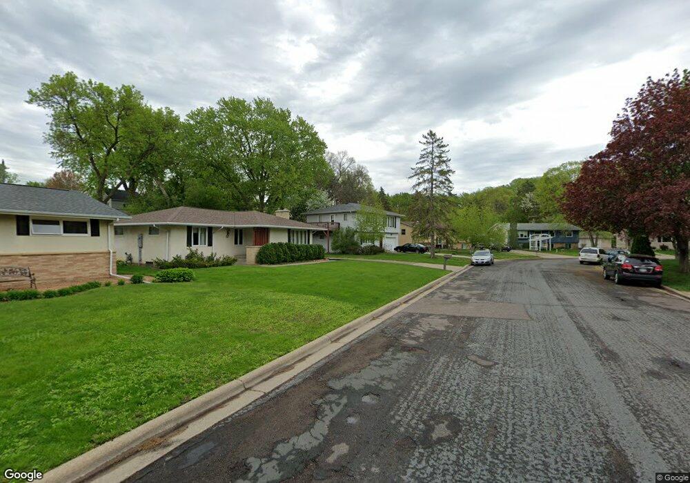
38 Langer Cir West St. Paul, MN 55118
Estimated Value: $347,000 - $388,000
3
Beds
2
Baths
1,712
Sq Ft
$213/Sq Ft
Est. Value
About This Home
This home is located at 38 Langer Cir, West St. Paul, MN 55118 and is currently estimated at $363,949, approximately $212 per square foot. 38 Langer Cir is a home located in Dakota County with nearby schools including Moreland Arts & Health Sciences Magnet School, Heritage E-STEM Magnet School, and Two Rivers High School.
Ownership History
Date
Name
Owned For
Owner Type
Purchase Details
Closed on
May 20, 2020
Sold by
Seliga Aaron J and Seliga Heather L
Bought by
Cosgrove Amber R and Cosgrove Robert T
Current Estimated Value
Home Financials for this Owner
Home Financials are based on the most recent Mortgage that was taken out on this home.
Original Mortgage
$243,375
Outstanding Balance
$215,664
Interest Rate
3.3%
Mortgage Type
New Conventional
Estimated Equity
$148,285
Purchase Details
Closed on
Aug 30, 2011
Sold by
Couture Robert J and Couture Karen
Bought by
Seliga Aaron and Foels Heather
Home Financials for this Owner
Home Financials are based on the most recent Mortgage that was taken out on this home.
Original Mortgage
$143,298
Interest Rate
4.5%
Mortgage Type
FHA
Create a Home Valuation Report for This Property
The Home Valuation Report is an in-depth analysis detailing your home's value as well as a comparison with similar homes in the area
Home Values in the Area
Average Home Value in this Area
Purchase History
| Date | Buyer | Sale Price | Title Company |
|---|---|---|---|
| Cosgrove Amber R | $256,185 | Cambria Title | |
| Seliga Aaron | $148,500 | Fsa Title Services Llc |
Source: Public Records
Mortgage History
| Date | Status | Borrower | Loan Amount |
|---|---|---|---|
| Open | Cosgrove Amber R | $243,375 | |
| Previous Owner | Seliga Aaron | $143,298 |
Source: Public Records
Tax History Compared to Growth
Tax History
| Year | Tax Paid | Tax Assessment Tax Assessment Total Assessment is a certain percentage of the fair market value that is determined by local assessors to be the total taxable value of land and additions on the property. | Land | Improvement |
|---|---|---|---|---|
| 2024 | $3,578 | $291,200 | $76,200 | $215,000 |
| 2023 | $3,578 | $297,700 | $80,700 | $217,000 |
| 2022 | $3,220 | $288,900 | $80,400 | $208,500 |
| 2021 | $3,084 | $256,600 | $69,900 | $186,700 |
| 2020 | $2,950 | $245,300 | $66,600 | $178,700 |
| 2019 | $2,734 | $229,800 | $63,400 | $166,400 |
| 2018 | $2,677 | $206,000 | $59,300 | $146,700 |
| 2017 | $2,501 | $209,700 | $56,500 | $153,200 |
| 2016 | $2,355 | $190,600 | $51,400 | $139,200 |
| 2015 | $2,380 | $160,268 | $44,578 | $115,690 |
| 2014 | -- | $156,889 | $41,138 | $115,751 |
| 2013 | -- | $141,738 | $37,204 | $104,534 |
Source: Public Records
Map
Nearby Homes
- 158 Southwind Ln
- 63 Langer Cir
- 111 Imperial Dr W Unit 102
- 69 Langer Cir
- 100 Imperial Dr W Unit 204
- 1450 Bidwell St Unit 110
- 1277 Hall Ave
- 280 Edith Dr
- 1220 Stryker Ave
- 242 Butler Ave W
- 1384 Smith Ave S
- 389 Edith Dr
- 69 Amelia Ave
- 1062 Ohio St
- 1513 Smith Ave S
- 1084 Hall Ave
- 170 Wentworth Ave W Unit F
- 1620 Charlton St Unit 109
- 180 Wentworth Ave W Unit E
- 1076 Humboldt Ave
- 38 Langer Cir
- 40 Langer Cir
- 36 36 Langer Cir
- 36 Langer Cir
- 42 Langer Cir
- 42 Langer Cir
- 176 Logan Ave W
- 33 Langer Cir
- 34 Langer Cir
- 170 Logan Ave W
- 180 Logan Ave W
- 164 Logan Ave W
- 186 Logan Ave W
- 32 Langer Cir
- 32 Langer Cir
- 1338 Allen Ave
- 31 Langer Cir
- 44 Langer Cir
- 160 Logan Ave W
- 176 176 Logan Ave W