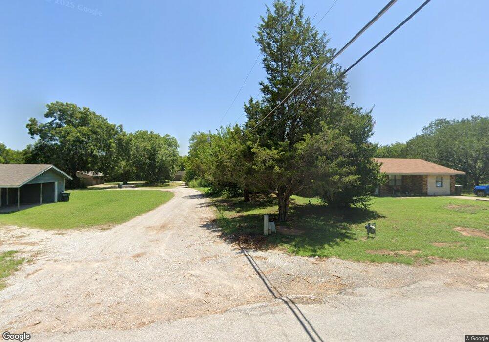
38 Locust Ln Lone Grove, OK 73443
Estimated Value: $103,137 - $149,000
3
Beds
1
Bath
768
Sq Ft
$168/Sq Ft
Est. Value
About This Home
This home is located at 38 Locust Ln, Lone Grove, OK 73443 and is currently estimated at $129,034, approximately $168 per square foot. 38 Locust Ln is a home located in Carter County with nearby schools including Lone Grove Primary School, Lone Grove Intermediate School, and Lone Grove Middle School.
Ownership History
Date
Name
Owned For
Owner Type
Purchase Details
Closed on
Mar 9, 2005
Sold by
Acox Mable I
Bought by
Slawson Donald and Slawson Vickie
Current Estimated Value
Purchase Details
Closed on
Sep 16, 1998
Sold by
Daniel Sonja
Bought by
Acox Douglas and Acox Mable
Purchase Details
Closed on
May 20, 1997
Sold by
Rutledge Larry D
Bought by
Daniel Sonja
Purchase Details
Closed on
Oct 17, 1996
Sold by
Rutledge Larry D
Bought by
Daniel Sonja
Purchase Details
Closed on
Oct 2, 1992
Sold by
Kappel David F
Bought by
Secretary Of Hs And Urb D
Create a Home Valuation Report for This Property
The Home Valuation Report is an in-depth analysis detailing your home's value as well as a comparison with similar homes in the area
Home Values in the Area
Average Home Value in this Area
Purchase History
| Date | Buyer | Sale Price | Title Company |
|---|---|---|---|
| Slawson Donald | $35,000 | -- | |
| Acox Douglas | $24,000 | -- | |
| Daniel Sonja | $25,000 | -- | |
| Daniel Sonja | -- | -- | |
| Secretary Of Hs And Urb D | -- | -- |
Source: Public Records
Tax History Compared to Growth
Tax History
| Year | Tax Paid | Tax Assessment Tax Assessment Total Assessment is a certain percentage of the fair market value that is determined by local assessors to be the total taxable value of land and additions on the property. | Land | Improvement |
|---|---|---|---|---|
| 2025 | $1,160 | $6,248 | $1,800 | $4,448 |
| 2024 | $1,160 | $5,950 | $1,784 | $4,166 |
| 2023 | $1,124 | $5,315 | $1,781 | $3,534 |
| 2022 | $524 | $5,062 | $1,708 | $3,354 |
| 2021 | $502 | $4,820 | $1,638 | $3,182 |
| 2020 | $475 | $4,591 | $1,572 | $3,019 |
| 2019 | $452 | $4,373 | $1,530 | $2,843 |
| 2018 | $435 | $4,164 | $1,430 | $2,734 |
| 2017 | $412 | $3,966 | $1,360 | $2,606 |
| 2016 | $392 | $3,777 | $1,273 | $2,504 |
| 2015 | $414 | $3,597 | $270 | $3,327 |
| 2014 | $394 | $3,426 | $270 | $3,156 |
Source: Public Records
Map
Nearby Homes
- 234 Farland St
- 111 Hill Billy Ln
- 3567 Lindale Rd
- 3452 Lindale Rd
- 6892 Meridian Rd
- 0 Callahan Rd
- 0 S Meridian Rd S Unit 1197251
- 0 S Meridian Rd S Unit 2547724
- 4480 Memorial Rd
- 5893 Newport Rd
- 114 Laurel St
- 01 N Brock Rd
- 213 Laurel St
- 8841 Brock Rd
- 1320 Evergreen St
- 318 Wisteria St
- 86 Wisteria St
- 58 Wisteria St
- 2403 Cardinal Rd
- 0 Cardinal Rd