38 Mccormick Rd Spencer, MA 01562
Estimated Value: $715,000 - $918,000
3
Beds
4
Baths
3,532
Sq Ft
$228/Sq Ft
Est. Value
About This Home
This home is located at 38 Mccormick Rd, Spencer, MA 01562 and is currently estimated at $806,016, approximately $228 per square foot. 38 Mccormick Rd is a home located in Worcester County with nearby schools including David Prouty High School.
Ownership History
Date
Name
Owned For
Owner Type
Purchase Details
Closed on
Apr 18, 2018
Sold by
Backus Joanne F and Wolf Roger D
Bought by
Moore Susan L and Moore Sheryl J
Current Estimated Value
Home Financials for this Owner
Home Financials are based on the most recent Mortgage that was taken out on this home.
Original Mortgage
$409,500
Outstanding Balance
$344,118
Interest Rate
3.5%
Mortgage Type
New Conventional
Estimated Equity
$461,898
Purchase Details
Closed on
Jun 1, 1981
Bought by
Backus Joseph C and Backus Joanne F
Create a Home Valuation Report for This Property
The Home Valuation Report is an in-depth analysis detailing your home's value as well as a comparison with similar homes in the area
Home Values in the Area
Average Home Value in this Area
Purchase History
| Date | Buyer | Sale Price | Title Company |
|---|---|---|---|
| Moore Susan L | $455,000 | -- | |
| Backus Joseph C | $94,900 | -- |
Source: Public Records
Mortgage History
| Date | Status | Borrower | Loan Amount |
|---|---|---|---|
| Open | Moore Susan L | $409,500 | |
| Previous Owner | Backus Joseph C | $125,000 |
Source: Public Records
Tax History
| Year | Tax Paid | Tax Assessment Tax Assessment Total Assessment is a certain percentage of the fair market value that is determined by local assessors to be the total taxable value of land and additions on the property. | Land | Improvement |
|---|---|---|---|---|
| 2025 | $76 | $644,900 | $127,100 | $517,800 |
| 2024 | $7,081 | $619,000 | $127,100 | $491,900 |
| 2023 | $6,676 | $553,600 | $127,100 | $426,500 |
| 2022 | $6,823 | $518,500 | $121,700 | $396,800 |
| 2021 | $6,677 | $475,600 | $121,700 | $353,900 |
| 2020 | $6,426 | $455,100 | $121,700 | $333,400 |
| 2019 | $6,169 | $445,100 | $116,900 | $328,200 |
| 2018 | $6,070 | $452,300 | $124,100 | $328,200 |
| 2017 | $6,018 | $430,500 | $121,700 | $308,800 |
| 2016 | $5,737 | $401,500 | $121,700 | $279,800 |
| 2015 | $5,513 | $403,300 | $127,100 | $276,200 |
| 2014 | $5,303 | $403,300 | $127,100 | $276,200 |
Source: Public Records
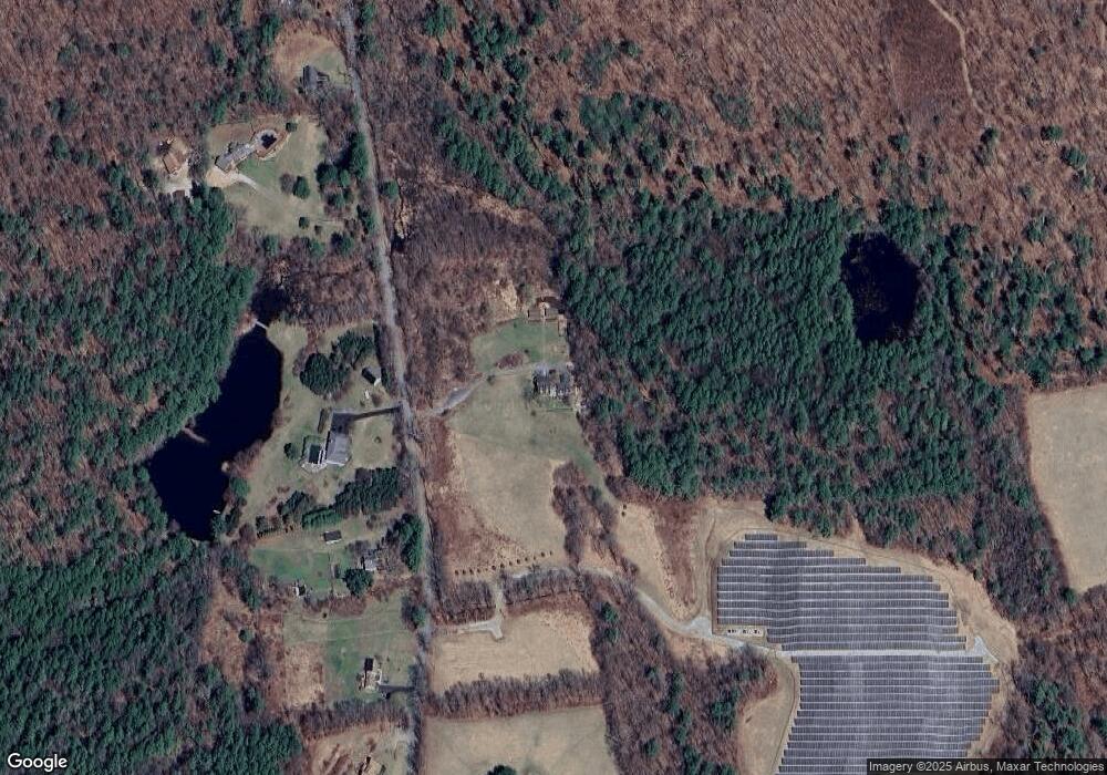
Map
Nearby Homes
- 31 Mccormick Rd
- 33 Mccormick Rd
- 43 Mccormick Rd
- 47 Mccormick Rd
- 29 Mccormick Rd
- 28 Mccormick Rd
- 49 Mccormick Rd
- 51 Mccormick Rd
- 109 Mccormick Rd
- 20 Mccormick Rd
- 57 Mccormick Rd
- 54 Mccormick Rd
- 102 Hastings Rd
- 106 Hastings Rd
- 116 Hastings Rd
- 120 Hastings Rd
- 118 Hastings Rd
- 100 Hastings Rd
- 103 Hastings Rd
- 113 Hastings Rd
Your Personal Tour Guide
Ask me questions while you tour the home.