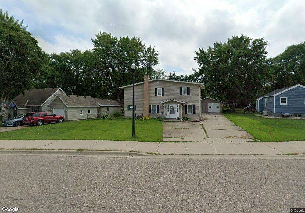
38 Mcleod Ave NE Hutchinson, MN 55350
Estimated Value: $255,000 - $325,000
3
Beds
2
Baths
1,392
Sq Ft
$201/Sq Ft
Est. Value
About This Home
This home is located at 38 Mcleod Ave NE, Hutchinson, MN 55350 and is currently estimated at $279,280, approximately $200 per square foot. 38 Mcleod Ave NE is a home located in McLeod County with nearby schools including Hutchinson West Elementary School, Hutchinson Park Elementary School, and Hutchinson Middle School.
Ownership History
Date
Name
Owned For
Owner Type
Purchase Details
Closed on
Dec 10, 2015
Sold by
Schramm Christopher Christopher
Bought by
Demenge David David
Current Estimated Value
Home Financials for this Owner
Home Financials are based on the most recent Mortgage that was taken out on this home.
Original Mortgage
$75,005
Outstanding Balance
$59,474
Interest Rate
3.95%
Estimated Equity
$219,806
Create a Home Valuation Report for This Property
The Home Valuation Report is an in-depth analysis detailing your home's value as well as a comparison with similar homes in the area
Home Values in the Area
Average Home Value in this Area
Purchase History
| Date | Buyer | Sale Price | Title Company |
|---|---|---|---|
| Demenge David David | $82,500 | -- |
Source: Public Records
Mortgage History
| Date | Status | Borrower | Loan Amount |
|---|---|---|---|
| Open | Demenge David David | $75,005 |
Source: Public Records
Tax History Compared to Growth
Tax History
| Year | Tax Paid | Tax Assessment Tax Assessment Total Assessment is a certain percentage of the fair market value that is determined by local assessors to be the total taxable value of land and additions on the property. | Land | Improvement |
|---|---|---|---|---|
| 2024 | $3,304 | $250,000 | $53,200 | $196,800 |
| 2023 | $3,278 | $241,400 | $52,700 | $188,700 |
| 2022 | $3,014 | $230,200 | $50,000 | $180,200 |
| 2021 | $2,804 | $196,400 | $43,800 | $152,600 |
| 2020 | $2,736 | $176,700 | $39,700 | $137,000 |
| 2019 | $3,048 | $168,900 | $39,700 | $129,200 |
| 2018 | $2,864 | $0 | $0 | $0 |
| 2017 | $2,724 | $0 | $0 | $0 |
| 2016 | $2,628 | $0 | $0 | $0 |
| 2015 | $2,446 | $0 | $0 | $0 |
| 2014 | -- | $0 | $0 | $0 |
Source: Public Records
Map
Nearby Homes
- 132 College Ave NE
- 727 Ash St NE
- 725 Maple St NE
- 635 Hillcrest Rd NE
- 524 Bluff St NE
- 584 Bluff St NE
- 525 Bluff St NE
- 648 Bluff St NE
- 1534 9th Ave SW
- 207 4th Ave NE
- 236 10th Ave NE
- 245 10th Ave NE
- 205 10th Ave NE
- 255 10th Ave NE
- 216 10th Ave NE
- 215 10th Ave NE
- 225 10th Ave NE
- 321 Highway 7 E
- 205 Adams St SE
- 530 Lincoln Ave SW
- 32 Mcleod Ave NE
- 46 Mcleod Ave NE
- 22 Mcleod Ave NE
- 56 Mcleod Ave NE
- 56 56 McLeod Ave NE
- 605 Oak St NE
- 39 Mcleod Ave NE
- 39 5th Ave NE
- 55 5th Ave NE
- 66 Mcleod Ave NE
- 25 25 5th Ave NE
- 55 5th Ave NE
- 625 625 Oak St
- 47 47 McLeod-avenue-ne
- 545 Main St N
- 531 Main St N
- 614 Elm St NE
- 15 5th Ave NE
- 615 Oak St NE
- 527 527 Main St N