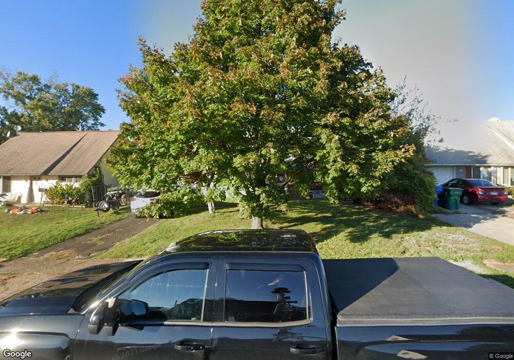
38 Misty Pine Rd Levittown, PA 19056
Mill Creek Falls NeighborhoodEstimated Value: $350,907 - $369,000
4
Beds
2
Baths
1,200
Sq Ft
$298/Sq Ft
Est. Value
About This Home
This home is located at 38 Misty Pine Rd, Levittown, PA 19056 and is currently estimated at $357,977, approximately $298 per square foot. 38 Misty Pine Rd is a home located in Bucks County with nearby schools including Truman Senior High School, First Presbyterian Church School, and Emilie Christian Day School.
Ownership History
Date
Name
Owned For
Owner Type
Purchase Details
Closed on
Sep 5, 2008
Sold by
Bowers Glenn
Bought by
Butcher Randall and Butcher Zahra
Current Estimated Value
Home Financials for this Owner
Home Financials are based on the most recent Mortgage that was taken out on this home.
Original Mortgage
$168,447
Outstanding Balance
$112,148
Interest Rate
6.54%
Mortgage Type
FHA
Estimated Equity
$245,829
Purchase Details
Closed on
Sep 10, 1993
Bought by
Bowers Glenn
Create a Home Valuation Report for This Property
The Home Valuation Report is an in-depth analysis detailing your home's value as well as a comparison with similar homes in the area
Home Values in the Area
Average Home Value in this Area
Purchase History
| Date | Buyer | Sale Price | Title Company |
|---|---|---|---|
| Butcher Randall | $169,800 | None Available | |
| Bowers Glenn | -- | -- |
Source: Public Records
Mortgage History
| Date | Status | Borrower | Loan Amount |
|---|---|---|---|
| Open | Butcher Randall | $168,447 |
Source: Public Records
Tax History Compared to Growth
Tax History
| Year | Tax Paid | Tax Assessment Tax Assessment Total Assessment is a certain percentage of the fair market value that is determined by local assessors to be the total taxable value of land and additions on the property. | Land | Improvement |
|---|---|---|---|---|
| 2025 | $4,562 | $16,800 | $4,280 | $12,520 |
| 2024 | $4,562 | $16,800 | $4,280 | $12,520 |
| 2023 | $4,529 | $16,800 | $4,280 | $12,520 |
| 2022 | $4,529 | $16,800 | $4,280 | $12,520 |
| 2021 | $4,529 | $16,800 | $4,280 | $12,520 |
| 2020 | $4,529 | $16,800 | $4,280 | $12,520 |
| 2019 | $4,512 | $16,800 | $4,280 | $12,520 |
| 2018 | $4,439 | $16,800 | $4,280 | $12,520 |
| 2017 | $4,372 | $16,800 | $4,280 | $12,520 |
| 2016 | $4,372 | $16,800 | $4,280 | $12,520 |
| 2015 | $3,117 | $16,800 | $4,280 | $12,520 |
| 2014 | $3,117 | $16,800 | $4,280 | $12,520 |
Source: Public Records
Map
Nearby Homes
- 34 Misty Pine Rd
- 23 Misty Pine Rd
- 57 Middle Rd
- 53 Micahill Rd
- 47 Plumbridge Dr
- 145 Mill Dr
- 38 Plumtree Rd
- 3021 Bath Rd
- 35 Parkside Cir
- 2715 Crest Ave
- 35 Beechtree Rd
- 43 Petunia Rd
- 212 Plumbridge Dr
- 2519 Woodlawn Dr
- 111 Border Rock Rd
- 101 Idlewild Rd
- 0 West Ave
- 2821 Avenue E
- 2816 Avenue E
- 2814 Avenue E
- 40 Misty Pine Rd
- 36 Misty Pine Rd
- 51 Macintosh Rd
- 44 Misty Pine Rd
- 53 Macintosh Rd
- 49 Macintosh Rd
- 47 Macintosh Rd
- 39 Misty Pine Rd
- 41 Misty Pine Rd
- 37 Misty Pine Rd
- 43 Misty Pine Rd
- 33 Misty Pine Rd
- 200 Mill Dr
- 30 Misty Pine Rd
- 43 Macintosh Rd
- 59 Macintosh Rd
- 45 Misty Pine Rd
- 50 Macintosh Rd
- 37 Macintosh Rd
- 28 Maroon Rd