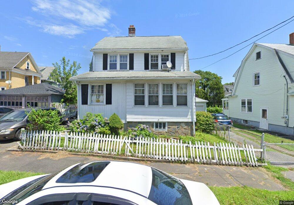
38 Morningside Dr Bridgeport, CT 06606
Brooklawn-Saint Vincent NeighborhoodEstimated Value: $372,000 - $448,000
4
Beds
2
Baths
1,695
Sq Ft
$244/Sq Ft
Est. Value
About This Home
This home is located at 38 Morningside Dr, Bridgeport, CT 06606 and is currently estimated at $413,269, approximately $243 per square foot. 38 Morningside Dr is a home located in Fairfield County with nearby schools including Madison School, Central High School, and Catholic Academy of Bridgeport-St. Raphael Academy.
Ownership History
Date
Name
Owned For
Owner Type
Purchase Details
Closed on
Nov 30, 1999
Sold by
Blake Rebecca and Blake Noel S
Bought by
Hodge Gynell
Current Estimated Value
Home Financials for this Owner
Home Financials are based on the most recent Mortgage that was taken out on this home.
Original Mortgage
$118,700
Interest Rate
7.77%
Purchase Details
Closed on
Mar 27, 1997
Sold by
Abreu Ruben
Bought by
Blake Rebecca and Blake Noel S
Create a Home Valuation Report for This Property
The Home Valuation Report is an in-depth analysis detailing your home's value as well as a comparison with similar homes in the area
Home Values in the Area
Average Home Value in this Area
Purchase History
| Date | Buyer | Sale Price | Title Company |
|---|---|---|---|
| Hodge Gynell | $119,900 | -- | |
| Hodge Gynell | $119,900 | -- | |
| Blake Rebecca | $71,000 | -- | |
| Blake Rebecca | $71,000 | -- |
Source: Public Records
Mortgage History
| Date | Status | Borrower | Loan Amount |
|---|---|---|---|
| Open | Blake Rebecca | $122,200 | |
| Closed | Blake Rebecca | $118,700 | |
| Previous Owner | Blake Rebecca | $85,000 |
Source: Public Records
Tax History Compared to Growth
Tax History
| Year | Tax Paid | Tax Assessment Tax Assessment Total Assessment is a certain percentage of the fair market value that is determined by local assessors to be the total taxable value of land and additions on the property. | Land | Improvement |
|---|---|---|---|---|
| 2025 | $6,129 | $141,050 | $63,110 | $77,940 |
| 2024 | $6,129 | $141,050 | $63,110 | $77,940 |
| 2023 | $6,129 | $141,050 | $63,110 | $77,940 |
| 2022 | $6,129 | $141,050 | $63,110 | $77,940 |
| 2021 | $6,129 | $141,050 | $63,110 | $77,940 |
| 2020 | $5,779 | $107,030 | $35,620 | $71,410 |
| 2019 | $5,779 | $107,030 | $35,620 | $71,410 |
| 2018 | $5,819 | $107,030 | $35,620 | $71,410 |
| 2017 | $5,819 | $107,030 | $35,620 | $71,410 |
| 2016 | $5,819 | $107,030 | $35,620 | $71,410 |
| 2015 | $5,678 | $134,560 | $43,110 | $91,450 |
| 2014 | $5,678 | $134,560 | $43,110 | $91,450 |
Source: Public Records
Map
Nearby Homes
- 508 Hawley Ave
- 106 Manhattan Ave Unit 108
- 123 Harlem Ave
- 203 Wayne St
- 119 Madison Terrace
- 252 Harlem Ave Unit B6
- 252 Harlem Ave Unit B5
- 936 Lindley St
- 330 French St
- 724 Capitol Ave Unit 726
- 105 Tremont Ave Unit E
- 105 Tremont Ave Unit B
- 631 Fairview Ave
- 234 Savoy St
- 2395 Main St Unit 2397
- 390 Charles St Unit 106
- 926 Hart St
- 916 Hart St
- 241 Sampson St
- 1265 Lindley St
- 28 Morningside Dr
- 35 Morningside Dr Unit 37
- 35 Marion St Unit 2nd & 3rd Fl.
- 382 Hawley Ave
- 87 Bronx Ave Unit 89
- 71 Bronx Ave Unit 73
- 370 Hawley Ave Unit 2
- 368 Hawley Ave Unit 2
- 368 Hawley Ave Unit 1
- 368 Hawley Ave Unit 370
- 111 Bronx Ave Unit 113
- 79 Bronx Ave Unit 81
- 23 Morningside Dr Unit 25
- 378 Hawley Ave Unit 380
- 378 Hawley Ave Unit 2
- 121 Bronx Ave Unit 123
- 121 Bronx Ave Unit 2ND
- 358 Hawley Ave Unit 360
- 418 Hawley Ave Unit 420
- 53 Bronx Ave Unit 55