38 Morrill Rd Canterbury, NH 03224
Estimated Value: $445,454 - $541,000
2
Beds
1
Bath
1,751
Sq Ft
$286/Sq Ft
Est. Value
About This Home
This home is located at 38 Morrill Rd, Canterbury, NH 03224 and is currently estimated at $500,114, approximately $285 per square foot. 38 Morrill Rd is a home located in Merrimack County with nearby schools including Canterbury Elementary School, Belmont Middle School, and Belmont High School.
Ownership History
Date
Name
Owned For
Owner Type
Purchase Details
Closed on
Nov 26, 2007
Sold by
Lavoie Mary Jane and Lavoie Martin G
Bought by
Deary Gail A
Current Estimated Value
Home Financials for this Owner
Home Financials are based on the most recent Mortgage that was taken out on this home.
Original Mortgage
$100,000
Outstanding Balance
$63,687
Interest Rate
6.42%
Mortgage Type
Purchase Money Mortgage
Estimated Equity
$436,427
Create a Home Valuation Report for This Property
The Home Valuation Report is an in-depth analysis detailing your home's value as well as a comparison with similar homes in the area
Home Values in the Area
Average Home Value in this Area
Purchase History
| Date | Buyer | Sale Price | Title Company |
|---|---|---|---|
| Deary Gail A | $225,000 | -- |
Source: Public Records
Mortgage History
| Date | Status | Borrower | Loan Amount |
|---|---|---|---|
| Open | Deary Gail A | $100,000 | |
| Previous Owner | Deary Gail A | $30,000 |
Source: Public Records
Tax History Compared to Growth
Tax History
| Year | Tax Paid | Tax Assessment Tax Assessment Total Assessment is a certain percentage of the fair market value that is determined by local assessors to be the total taxable value of land and additions on the property. | Land | Improvement |
|---|---|---|---|---|
| 2024 | $6,988 | $308,100 | $139,000 | $169,100 |
| 2023 | $6,359 | $302,800 | $139,000 | $163,800 |
| 2022 | $6,051 | $290,900 | $139,000 | $151,900 |
| 2021 | $5,966 | $290,900 | $139,000 | $151,900 |
| 2020 | $5,319 | $192,800 | $76,700 | $116,100 |
| 2019 | $5,373 | $192,800 | $76,700 | $116,100 |
| 2018 | $5,123 | $192,800 | $76,700 | $116,100 |
| 2017 | $5,009 | $192,800 | $76,700 | $116,100 |
| 2016 | $4,810 | $192,800 | $76,700 | $116,100 |
| 2015 | $4,810 | $181,100 | $77,500 | $103,600 |
| 2014 | $4,899 | $181,100 | $77,500 | $103,600 |
| 2013 | $4,734 | $181,100 | $77,500 | $103,600 |
Source: Public Records
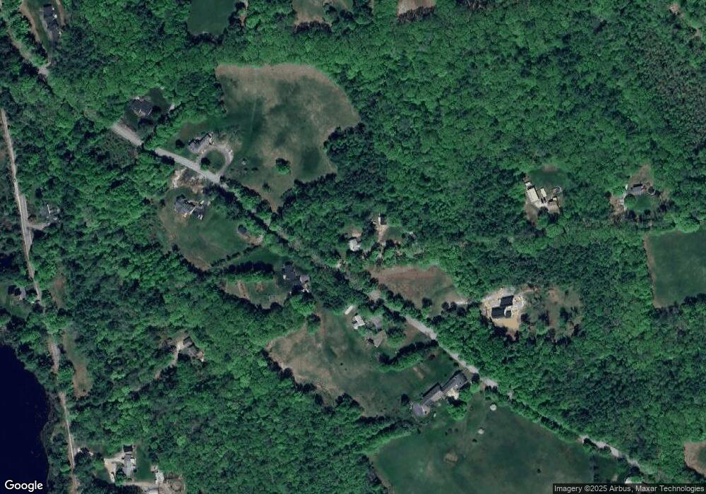
Map
Nearby Homes
- 26 Welch Rd
- 57 Center Rd
- 309 Southwest Rd
- 000 Baptist Rd Unit 1
- 557 Mountain Rd
- 22 Shelburne Ln
- 22 Shelburne Ln
- 540 Mountain Rd
- 527 Northwest Rd
- 6 Old Boyce Rd
- 287 Clough Pond Rd
- 22 Abberton Rd
- 5A Red Oak Way Unit 5A
- 3B Red Oak Way
- 3A Red Oak Way Unit 3A
- 4A Red Oak Way
- 187 King St
- 203 Old Shaker Rd
- 6 Eagle Perch Dr Unit 14
- 456 Mountain Rd
- 35 Morrill Rd
- 43 Morrill Rd
- 55 Morrill Rd
- 24 Morrill Rd
- 24 Morrill Rd Unit B
- 24 Morrill Rd Unit D
- 18 Welch Rd
- 56 Kimball Pond Rd
- 25 Morrill Rd
- 62 Kimball Pond Rd
- 40 Kimball Pond Rd
- 0 Kimball Pond Rd
- 45 Kimball Pond Rd
- 35 Baptist Rd
- 25 Baptist Rd
- 69 Morrill Rd
- 6 Morrill Rd
- 31 Baptist Rd
- 70 Kimball Pond Rd
- 34 Welch Rd