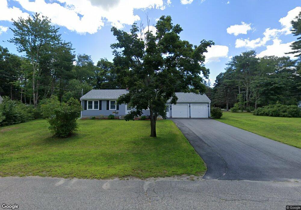
38 Mousam Ridge Rd Kennebunk, ME 04043
Estimated Value: $442,000 - $528,000
3
Beds
2
Baths
960
Sq Ft
$493/Sq Ft
Est. Value
About This Home
This home is located at 38 Mousam Ridge Rd, Kennebunk, ME 04043 and is currently estimated at $473,346, approximately $493 per square foot. 38 Mousam Ridge Rd is a home located in York County with nearby schools including Kennebunk High School, School Around Us, and The New School.
Create a Home Valuation Report for This Property
The Home Valuation Report is an in-depth analysis detailing your home's value as well as a comparison with similar homes in the area
Home Values in the Area
Average Home Value in this Area
Tax History Compared to Growth
Tax History
| Year | Tax Paid | Tax Assessment Tax Assessment Total Assessment is a certain percentage of the fair market value that is determined by local assessors to be the total taxable value of land and additions on the property. | Land | Improvement |
|---|---|---|---|---|
| 2024 | $3,537 | $208,700 | $96,000 | $112,700 |
| 2023 | $3,350 | $208,700 | $96,000 | $112,700 |
| 2022 | $3,047 | $208,700 | $96,000 | $112,700 |
| 2021 | $2,974 | $208,700 | $96,000 | $112,700 |
| 2020 | $2,599 | $208,700 | $96,000 | $112,700 |
| 2019 | $2,870 | $208,700 | $96,000 | $112,700 |
| 2018 | $2,739 | $156,500 | $72,000 | $84,500 |
| 2017 | $2,590 | $156,500 | $72,000 | $84,500 |
| 2016 | $2,488 | $156,500 | $72,000 | $84,500 |
| 2015 | $2,249 | $156,500 | $72,000 | $84,500 |
| 2014 | $2,190 | $156,500 | $72,000 | $84,500 |
Source: Public Records
Map
Nearby Homes
- 16 Boundary Way
- 17 Legacy Ln
- 30 York St Unit 1
- 5 Cider Mill Ln
- 3 Cider Mill Ln
- 20 York St
- 11 Greenwich Way Unit 43
- 7 Water St
- 2 Cross St
- 9 Parsons St
- 54 Sycamore Ln Unit 19
- 61 Fletcher St
- 5 Wiggins Pond Ln
- 15 Casey Ln
- 3 Hardwood Dr
- 59 Plymouth Grove Unit 11
- 16 Oakwood Ln Unit 16
- 17 Cascade Cir Unit 19
- 108 Hampton Glen Dr Unit 108
- 5 Heath Rd
- 36 Mousam Ridge Rd
- 37 Mousam Ridge Rd
- 103 Brown St
- 105 Brown St
- 112 Brown St
- 33 Mousam Ridge Rd
- 34 Mousam Ridge Rd
- 101 Brown St
- 4 Boundary Way
- 102 Brown St
- 99 Brown St
- 6 Boundary
- 101 B Brown St
- 32 Mousam Ridge Rd
- 8 Boundary Way
- 107 Brown St
- 97 Brown St
- 10 Boundary Way
- 1 Boundary Way
- 31 Mousam Ridge Rd