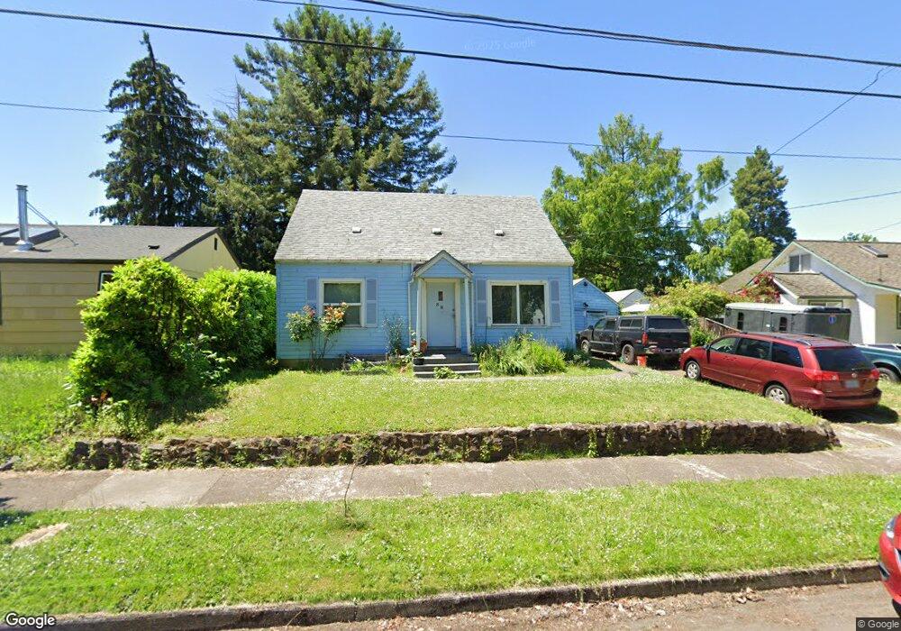
38 N Adams St Eugene, OR 97402
Whiteaker NeighborhoodEstimated Value: $369,000 - $414,000
3
Beds
1
Bath
924
Sq Ft
$423/Sq Ft
Est. Value
About This Home
This home is located at 38 N Adams St, Eugene, OR 97402 and is currently estimated at $390,545, approximately $422 per square foot. 38 N Adams St is a home located in Lane County with nearby schools including River Road/El Camino del Río Elementary School, Kelly Middle School, and North Eugene High School.
Ownership History
Date
Name
Owned For
Owner Type
Purchase Details
Closed on
May 28, 2013
Sold by
Fox Julia
Bought by
Fox Julia and Fox Cisco Che
Current Estimated Value
Purchase Details
Closed on
May 3, 2013
Sold by
Cisco Charles
Bought by
Fox Julia
Create a Home Valuation Report for This Property
The Home Valuation Report is an in-depth analysis detailing your home's value as well as a comparison with similar homes in the area
Home Values in the Area
Average Home Value in this Area
Purchase History
| Date | Buyer | Sale Price | Title Company |
|---|---|---|---|
| Fox Julia | -- | None Available | |
| Fox Julia | -- | None Available |
Source: Public Records
Tax History
| Year | Tax Paid | Tax Assessment Tax Assessment Total Assessment is a certain percentage of the fair market value that is determined by local assessors to be the total taxable value of land and additions on the property. | Land | Improvement |
|---|---|---|---|---|
| 2025 | $3,189 | $163,655 | -- | -- |
| 2024 | $3,149 | $158,889 | -- | -- |
| 2023 | $3,149 | $154,262 | $0 | $0 |
| 2022 | $2,950 | $149,769 | $0 | $0 |
| 2021 | $2,771 | $145,407 | $0 | $0 |
| 2020 | $2,781 | $141,172 | $0 | $0 |
| 2019 | $2,685 | $137,061 | $0 | $0 |
| 2018 | $2,528 | $129,193 | $0 | $0 |
| 2017 | $2,415 | $129,193 | $0 | $0 |
| 2016 | $2,355 | $125,430 | $0 | $0 |
| 2015 | $2,287 | $121,777 | $0 | $0 |
| 2014 | $2,241 | $118,230 | $0 | $0 |
Source: Public Records
Map
Nearby Homes
- 9 N Monroe St Unit B
- 9 N Monroe St Unit D
- 9 N Monroe St Unit A
- 461 Blair Blvd
- 5713 Durst St
- 1030 W 5th Ave
- 527 Monroe St
- 490 W 4th Ave
- 561 Madison St
- 427 Washington St
- 561 577 Madison St
- 577 Madison St
- 1391 W 5th Ave
- 960 W 7th Ave
- 990 W 7th Ave
- 710 Van Buren St
- 325 River Rd
- 0 W 7th Aly
- 780 Van Buren St
- 1230 W 7th Ave
Your Personal Tour Guide
Ask me questions while you tour the home.