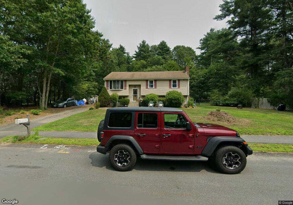
38 Oakleaf Dr Mansfield, MA 02048
Estimated Value: $591,549 - $677,000
3
Beds
2
Baths
1,080
Sq Ft
$590/Sq Ft
Est. Value
About This Home
This home is located at 38 Oakleaf Dr, Mansfield, MA 02048 and is currently estimated at $637,637, approximately $590 per square foot. 38 Oakleaf Dr is a home located in Bristol County with nearby schools including Everett W. Robinson Elementary School, Jordan/Jackson Elementary School, and Harold L. Qualters Middle School.
Ownership History
Date
Name
Owned For
Owner Type
Purchase Details
Closed on
Jul 28, 1995
Sold by
Martin Peter R and Martin Rosalind S
Bought by
Wall Philip N and Wall Maryellen
Current Estimated Value
Home Financials for this Owner
Home Financials are based on the most recent Mortgage that was taken out on this home.
Original Mortgage
$149,600
Interest Rate
7.56%
Mortgage Type
Purchase Money Mortgage
Create a Home Valuation Report for This Property
The Home Valuation Report is an in-depth analysis detailing your home's value as well as a comparison with similar homes in the area
Home Values in the Area
Average Home Value in this Area
Purchase History
| Date | Buyer | Sale Price | Title Company |
|---|---|---|---|
| Wall Philip N | $157,500 | -- |
Source: Public Records
Mortgage History
| Date | Status | Borrower | Loan Amount |
|---|---|---|---|
| Open | Wall Philip N | $160,000 | |
| Closed | Wall Philip N | $158,000 | |
| Closed | Wall Philip N | $149,600 | |
| Previous Owner | Wall Philip N | $100,000 |
Source: Public Records
Tax History
| Year | Tax Paid | Tax Assessment Tax Assessment Total Assessment is a certain percentage of the fair market value that is determined by local assessors to be the total taxable value of land and additions on the property. | Land | Improvement |
|---|---|---|---|---|
| 2025 | $7,232 | $549,100 | $278,100 | $271,000 |
| 2024 | $7,054 | $522,500 | $290,200 | $232,300 |
| 2023 | $6,946 | $493,000 | $290,200 | $202,800 |
| 2022 | $6,752 | $445,100 | $268,600 | $176,500 |
| 2021 | $4,959 | $403,400 | $224,000 | $179,400 |
| 2020 | $2,207 | $408,000 | $224,000 | $184,000 |
| 2019 | $5,639 | $370,500 | $186,500 | $184,000 |
| 2018 | $4,322 | $348,000 | $177,900 | $170,100 |
| 2017 | $1,884 | $346,000 | $172,800 | $173,200 |
| 2016 | $5,133 | $333,100 | $164,600 | $168,500 |
| 2015 | $4,803 | $309,900 | $164,600 | $145,300 |
Source: Public Records
Map
Nearby Homes
- 2 Oak St Unit 2B
- 451R Gilbert St
- 44 Surrey Dr
- 71 Richardson Ave
- 143 Oak St Unit 10
- 10 Walter St
- 14 Claire Ave
- 343 Godfrey Dr
- 101 Godfrey Dr Unit 101
- 5 Village Way Unit C
- 10 Anna Way
- 250 Mansfield Ave Unit 11
- 345 Richardson Ave
- 17 Village Way Unit F
- 150 Gilbert St
- 49 Pheasant Hill Rd
- 157 Mansfield Ave Unit 27
- 157 Mansfield Ave Unit 14
- 85 Jewell St
- 933 Pleasant St
Your Personal Tour Guide
Ask me questions while you tour the home.