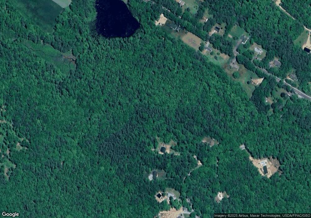
38 Parsons Hill Rd Strafford, NH 03884
Estimated Value: $454,000 - $676,000
3
Beds
3
Baths
1,820
Sq Ft
$311/Sq Ft
Est. Value
About This Home
This home is located at 38 Parsons Hill Rd, Strafford, NH 03884 and is currently estimated at $566,586, approximately $311 per square foot. 38 Parsons Hill Rd is a home with nearby schools including Strafford School and Coe-Brown Northwood Academy.
Ownership History
Date
Name
Owned For
Owner Type
Purchase Details
Closed on
Oct 30, 2023
Sold by
Szumiesz Daniel R and Szumiesz Bernadette
Bought by
Daniel and Daniel Szumiesz B
Current Estimated Value
Purchase Details
Closed on
Oct 2, 2007
Sold by
Montross Mark E and Montross Susan G
Bought by
Szumiesz Daniel R and Szumiesz Bernadette
Create a Home Valuation Report for This Property
The Home Valuation Report is an in-depth analysis detailing your home's value as well as a comparison with similar homes in the area
Home Values in the Area
Average Home Value in this Area
Purchase History
| Date | Buyer | Sale Price | Title Company |
|---|---|---|---|
| Daniel | -- | None Available | |
| Szumiesz Daniel R | $69,000 | -- |
Source: Public Records
Mortgage History
| Date | Status | Borrower | Loan Amount |
|---|---|---|---|
| Previous Owner | Szumiesz Daniel R | $127,500 | |
| Previous Owner | Szumiesz Daniel R | $151,000 |
Source: Public Records
Tax History Compared to Growth
Tax History
| Year | Tax Paid | Tax Assessment Tax Assessment Total Assessment is a certain percentage of the fair market value that is determined by local assessors to be the total taxable value of land and additions on the property. | Land | Improvement |
|---|---|---|---|---|
| 2024 | $6,878 | $348,100 | $76,600 | $271,500 |
| 2023 | $6,489 | $348,100 | $76,600 | $271,500 |
| 2022 | $5,663 | $330,600 | $76,600 | $254,000 |
| 2021 | $5,977 | $323,800 | $76,600 | $247,200 |
| 2020 | $6,071 | $236,700 | $69,000 | $167,700 |
| 2019 | $5,555 | $236,700 | $69,000 | $167,700 |
| 2018 | $5,546 | $234,700 | $69,000 | $165,700 |
| 2016 | $4,987 | $234,700 | $69,000 | $165,700 |
| 2015 | $4,630 | $212,300 | $82,500 | $129,800 |
| 2014 | $4,917 | $212,300 | $82,500 | $129,800 |
| 2013 | $4,611 | $203,300 | $82,500 | $120,800 |
| 2012 | $4,550 | $203,300 | $82,500 | $120,800 |
Source: Public Records
Map
Nearby Homes
- 152 Evans Rd
- 572 S Barnstead Rd
- 1760 Province Rd
- 85 Province Rd
- 11 Gray Rd
- 77 Holmes Rd
- L68-2 Vail Rd
- L68-1 Vail Rd
- 38 Chapelle Rd
- R11 07 Clough Rd
- 109 Vail Rd
- 4 Sandy Point Rd
- 77 Vail Rd
- 109 Shackford Corner Rd
- 277 Shackford Corner Rd
- 25 Vail Rd
- Map 102 Lot 9 Kramas Ln
- 1226 First Crown Point Rd
- 449 Tilton Hill Rd
- M2-l29-2 Province Rd
- 29 Parsons Hill Rd
- Lot# 010 Parsons Hill Rd
- 10 Parsons Hill Rd
- 12 Parsons Hill Rd
- 45 Parsons Hill Rd
- 62 Parsons Hill Rd
- 46 Parker Mountain Rd
- 34 Parker Mountain Rd
- 66 Parsons Hill Rd
- 71 Parsons Hill Rd
- 48 Parsons Hill Rd
- 4 Parsons Hill Rd
- 22 Parker Mountain Rd
- 51 Parker Mountain Rd
- 78 Parsons Hill Rd
- 35 Parker Mountain Rd
- Lot# 002 Parsons Hill Rd
- 29 Parker Mountain Rd
- 19 Parker Mountain Rd
- 19 Parker Mountain Rd
