38 Patterson Rd Lenox Dale, MA 01242
Estimated Value: $410,000 - $605,000
2
Beds
3
Baths
1,610
Sq Ft
$318/Sq Ft
Est. Value
About This Home
This home is located at 38 Patterson Rd, Lenox Dale, MA 01242 and is currently estimated at $511,518, approximately $317 per square foot. 38 Patterson Rd is a home with nearby schools including Morris Elementary School, Lenox Memorial High School, and The Montessori School of the Berkshires.
Ownership History
Date
Name
Owned For
Owner Type
Purchase Details
Closed on
Nov 3, 2021
Sold by
Blantyre Hotel Vent Llc
Bought by
Blantyre Llc
Current Estimated Value
Purchase Details
Closed on
Jun 28, 2017
Sold by
Fitzpatrick Holdings L
Bought by
Blantyre Hotel Venture
Home Financials for this Owner
Home Financials are based on the most recent Mortgage that was taken out on this home.
Original Mortgage
$4,000,000
Interest Rate
4.02%
Mortgage Type
Commercial
Create a Home Valuation Report for This Property
The Home Valuation Report is an in-depth analysis detailing your home's value as well as a comparison with similar homes in the area
Home Values in the Area
Average Home Value in this Area
Purchase History
| Date | Buyer | Sale Price | Title Company |
|---|---|---|---|
| Blantyre Llc | $15,000,000 | None Available | |
| Blantyre Hotel Venture | $4,600,000 | -- | |
| Blantyre Hotel Venture | $4,600,000 | -- |
Source: Public Records
Mortgage History
| Date | Status | Borrower | Loan Amount |
|---|---|---|---|
| Previous Owner | Blantyre Hotel Venture | $4,000,000 |
Source: Public Records
Tax History Compared to Growth
Tax History
| Year | Tax Paid | Tax Assessment Tax Assessment Total Assessment is a certain percentage of the fair market value that is determined by local assessors to be the total taxable value of land and additions on the property. | Land | Improvement |
|---|---|---|---|---|
| 2025 | $4,106 | $453,700 | $99,100 | $354,600 |
| 2024 | $4,002 | $441,200 | $93,500 | $347,700 |
| 2023 | $4,155 | $453,600 | $88,200 | $365,400 |
| 2022 | $4,048 | $373,400 | $73,600 | $299,800 |
| 2021 | $3,940 | $338,200 | $67,500 | $270,700 |
| 2020 | $4,034 | $333,400 | $65,500 | $267,900 |
| 2019 | $3,893 | $325,800 | $65,500 | $260,300 |
| 2018 | $3,966 | $321,000 | $64,300 | $256,700 |
| 2017 | $3,874 | $317,300 | $63,000 | $254,300 |
| 2016 | $3,799 | $312,400 | $63,000 | $249,400 |
| 2015 | $3,576 | $290,000 | $58,500 | $231,500 |
Source: Public Records
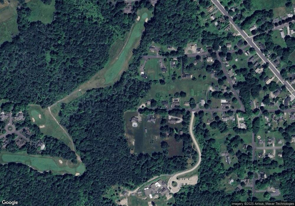
Map
Nearby Homes
- 8 Catherine St
- 15 Golden Hill Rd
- 524 Walker St
- 528 Walker St
- 55 Crystal St
- 16 Sedgwick Ln Unit 40
- 615 Laurel St
- 286 Lee Rd
- 355 Laurel St
- 46 Galway Ct
- 46 Pease Terrace
- 155 Laurel St
- 30 Pease Terrace
- 770 Summer St Unit 5D
- 770 Summer St Unit 3A
- 165 Kemble St Unit 5
- 175 Center St Unit 3
- 180 Center St
- 205 High St
- 0 East St Unit 235893
- 32 Patterson Rd
- 35 Patterson Rd
- Lot 42 Crane Rd + Plantation Rd
- 41 Lawton St
- 26 Patterson Rd
- 35 Patterson Rd
- 25 Patterson Rd
- 33 Lawton St
- 22 Patterson Rd
- 29 Lawton St
- 29 Lawton St
- 0 Patterson Rd
- 27 Lawton St
- 27 Lawton St
- 18 Patterson Rd
- 38 Lawton St
- 32 Lawton St
- 15 Patterson Rd
- 23 Lawton St
- 14 Patterson Rd