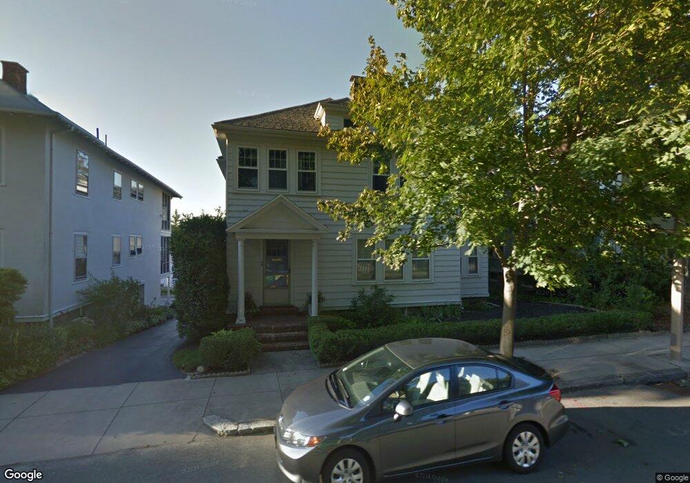
38 Radnor Rd Brighton, MA 02135
Saint Elizabeths NeighborhoodEstimated Value: $1,478,000 - $1,661,000
4
Beds
2
Baths
2,680
Sq Ft
$577/Sq Ft
Est. Value
About This Home
This home is located at 38 Radnor Rd, Brighton, MA 02135 and is currently estimated at $1,546,738, approximately $577 per square foot. 38 Radnor Rd is a home located in Suffolk County with nearby schools including Boston Green Academy Horace Mann Charter School, Shaloh House Jewish Day School, and Bais Yaakov Of Boston High School.
Ownership History
Date
Name
Owned For
Owner Type
Purchase Details
Closed on
May 4, 2021
Sold by
Duckworth Pamela A and Duckworth Virginia L
Bought by
P A Duckworth 2003 T
Current Estimated Value
Create a Home Valuation Report for This Property
The Home Valuation Report is an in-depth analysis detailing your home's value as well as a comparison with similar homes in the area
Home Values in the Area
Average Home Value in this Area
Purchase History
| Date | Buyer | Sale Price | Title Company |
|---|---|---|---|
| P A Duckworth 2003 T | -- | None Available |
Source: Public Records
Tax History
| Year | Tax Paid | Tax Assessment Tax Assessment Total Assessment is a certain percentage of the fair market value that is determined by local assessors to be the total taxable value of land and additions on the property. | Land | Improvement |
|---|---|---|---|---|
| 2025 | $14,522 | $1,254,100 | $557,800 | $696,300 |
| 2024 | $13,034 | $1,195,800 | $439,600 | $756,200 |
| 2023 | $12,843 | $1,195,800 | $439,600 | $756,200 |
| 2022 | $12,159 | $1,117,600 | $410,800 | $706,800 |
| 2021 | $11,925 | $1,117,600 | $410,800 | $706,800 |
| 2020 | $11,141 | $1,055,000 | $386,500 | $668,500 |
| 2019 | $10,691 | $1,014,300 | $298,200 | $716,100 |
| 2018 | $9,845 | $939,400 | $298,200 | $641,200 |
| 2017 | $9,655 | $911,700 | $298,200 | $613,500 |
| 2016 | $8,954 | $814,000 | $298,200 | $515,800 |
| 2015 | $8,138 | $672,000 | $233,700 | $438,300 |
| 2014 | $7,324 | $582,200 | $233,700 | $348,500 |
Source: Public Records
Map
Nearby Homes
- 1945 Commonwealth Ave Unit 4
- 2021 Commonwealth Ave Unit B
- 185 Chestnut Hill Ave Unit 3
- 7 Lothian Rd Unit B
- 129 Chiswick Rd Unit 6
- 32 Sidlaw Rd Unit 6
- 28 Sidlaw Rd Unit 2
- 1868 Commonwealth Ave Unit 1
- 5 Braemore Rd Unit 10
- 26 Chiswick Rd Unit 6
- 1754 Commonwealth Ave Unit B
- 56-58 Selkirk Rd
- 80 Strathmore Rd Unit 3
- 60 Sutherland Rd Unit 4
- 30 Kinross Rd Unit 1
- 6 Sutherland Rd Unit 41
- 69 Strathmore Rd Unit 69
- 100 Lanark Rd Unit A
- 100 Lanark Rd Unit 8
- 41 Orkney Rd
- 38 Radnor Rd
- 38 Radnor Rd Unit 5
- 34 Radnor Rd Unit 1
- 34 Radnor Rd
- 42 Radnor Rd
- 42 Radnor Rd Unit 2
- 42 Radnor Rd
- 42 Radnor Rd Unit 1
- 30 Radnor Rd
- 30 Radnor Rd Unit 2
- 30 Radnor Rd Unit 1
- 33 Kirkwood Rd
- 33 Kirkwood Rd Unit 2
- 33 Kirkwood Rd Unit 1
- 45 Radnor Rd
- 45 Radnor Rd
- 45 Radnor Rd Unit 1
- 45 Radnor Rd Unit 2
- 46 Radnor Rd Unit 1
- 46 Radnor Rd Unit 3
Your Personal Tour Guide
Ask me questions while you tour the home.