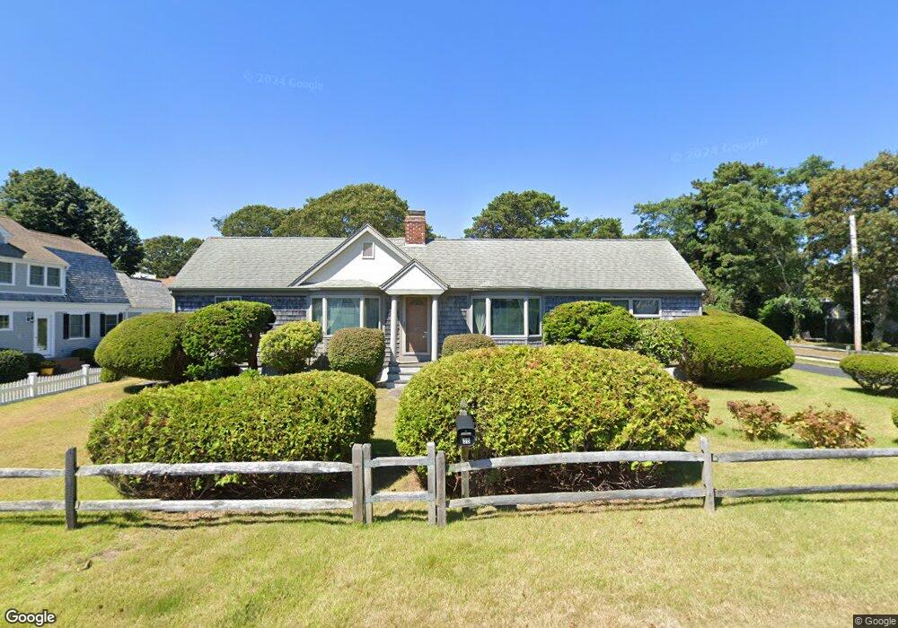
38 Riverside Dr West Harwich, MA 02671
Northwest Harwich NeighborhoodEstimated Value: $977,727 - $1,300,000
4
Beds
3
Baths
1,930
Sq Ft
$584/Sq Ft
Est. Value
About This Home
This home is located at 38 Riverside Dr, West Harwich, MA 02671 and is currently estimated at $1,127,432, approximately $584 per square foot. 38 Riverside Dr is a home located in Barnstable County with nearby schools including Harwich Elementary School, Chatham Elementary School, and Monomoy Regional Middle School.
Ownership History
Date
Name
Owned For
Owner Type
Purchase Details
Closed on
May 17, 2021
Sold by
Patricia W Dings T
Bought by
Dings James W and Dings Wendella E
Current Estimated Value
Purchase Details
Closed on
Jan 13, 2012
Sold by
Dings Patricia W
Bought by
Patricia W Dings T
Purchase Details
Closed on
Jun 30, 1988
Sold by
Aron Edward
Bought by
Dings Robert C
Create a Home Valuation Report for This Property
The Home Valuation Report is an in-depth analysis detailing your home's value as well as a comparison with similar homes in the area
Home Values in the Area
Average Home Value in this Area
Purchase History
| Date | Buyer | Sale Price | Title Company |
|---|---|---|---|
| Dings James W | -- | None Available | |
| Patricia W Dings T | -- | -- | |
| Patricia W Dings T | -- | -- | |
| Dings Robert C | $244,000 | -- |
Source: Public Records
Mortgage History
| Date | Status | Borrower | Loan Amount |
|---|---|---|---|
| Previous Owner | Dings Robert C | $175,000 |
Source: Public Records
Tax History Compared to Growth
Tax History
| Year | Tax Paid | Tax Assessment Tax Assessment Total Assessment is a certain percentage of the fair market value that is determined by local assessors to be the total taxable value of land and additions on the property. | Land | Improvement |
|---|---|---|---|---|
| 2025 | $5,121 | $866,500 | $405,800 | $460,700 |
| 2024 | $4,939 | $819,100 | $382,900 | $436,200 |
| 2023 | $4,773 | $718,800 | $348,100 | $370,700 |
| 2022 | $4,776 | $588,900 | $302,700 | $286,200 |
| 2021 | $4,653 | $541,100 | $275,200 | $265,900 |
| 2020 | $4,641 | $531,600 | $270,000 | $261,600 |
| 2019 | $4,444 | $512,600 | $259,500 | $253,100 |
| 2018 | $4,063 | $448,300 | $208,500 | $239,800 |
| 2017 | $3,819 | $425,700 | $190,000 | $235,700 |
| 2016 | $3,746 | $413,000 | $190,000 | $223,000 |
| 2015 | $3,698 | $412,300 | $186,200 | $226,100 |
| 2014 | $3,535 | $403,100 | $180,700 | $222,400 |
Source: Public Records
Map
Nearby Homes
- 3 Fairbanks Dr
- 1 Belmont Rd Unit 630
- 1 Belmont Rd Unit 513
- 1 E Belmont Unit 630
- 19 Riverway
- 19 Riverway
- 24 Chase St
- 148 Belmont Rd
- 26 Manning Rd
- 24 Chase St
- 73 Division St
- 159 Center St Unit 22
- 40 Willow St
- 6 Bayberry Ln
- 11 Ocean Park W
- 79 Massachusetts 28
- 9 Chase Ave Unit 6
- 12 Cross St
- 13 Osborne Rd
- 45 Route 28
- 31 Lower County Rd
- 2 Walkerwoods Dr
- 36 Riverside Dr
- 2 Walker Way
- 34 Riverside Dr
- 35 Lower County Rd
- 27 Lower County Rd
- 42 Riverside Dr
- 22 Gordon Ritchie Rd
- 23 Lower County Rd
- 48 Riverside Dr
- 2 Walker
- 35 Riverside Dr
- 26 Riverside Dr
- 26 Gordon Ritchie Rd
- 18 Gordon Ritchie Rd
- 41 Riverside Dr
- 30 Lower County Rd
- 29 Riverside Dr
- 19 Lower County Rd