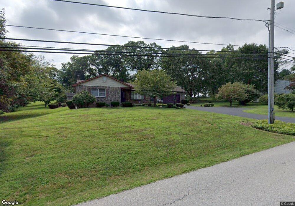
38 Savage Rd Pottstown, PA 19465
Estimated Value: $437,000 - $506,000
3
Beds
2
Baths
2,006
Sq Ft
$234/Sq Ft
Est. Value
About This Home
This home is located at 38 Savage Rd, Pottstown, PA 19465 and is currently estimated at $469,861, approximately $234 per square foot. 38 Savage Rd is a home located in Chester County with nearby schools including East Coventry Elementary School, Owen J Roberts Middle School, and Owen J Roberts High School.
Ownership History
Date
Name
Owned For
Owner Type
Purchase Details
Closed on
Jul 31, 1995
Sold by
Buckwalter Dean R and Buckwalter Dorothy S
Bought by
Pierce Chris and Pierce Yvonne
Current Estimated Value
Home Financials for this Owner
Home Financials are based on the most recent Mortgage that was taken out on this home.
Original Mortgage
$105,400
Interest Rate
7.48%
Mortgage Type
Seller Take Back
Create a Home Valuation Report for This Property
The Home Valuation Report is an in-depth analysis detailing your home's value as well as a comparison with similar homes in the area
Home Values in the Area
Average Home Value in this Area
Purchase History
| Date | Buyer | Sale Price | Title Company |
|---|---|---|---|
| Pierce Chris | $115,000 | -- |
Source: Public Records
Mortgage History
| Date | Status | Borrower | Loan Amount |
|---|---|---|---|
| Closed | Pierce Chris | $105,400 |
Source: Public Records
Tax History Compared to Growth
Tax History
| Year | Tax Paid | Tax Assessment Tax Assessment Total Assessment is a certain percentage of the fair market value that is determined by local assessors to be the total taxable value of land and additions on the property. | Land | Improvement |
|---|---|---|---|---|
| 2025 | $4,950 | $117,640 | $48,440 | $69,200 |
| 2024 | $4,950 | $117,640 | $48,440 | $69,200 |
| 2023 | $4,880 | $117,640 | $48,440 | $69,200 |
| 2022 | $4,802 | $117,640 | $48,440 | $69,200 |
| 2021 | $4,745 | $117,640 | $48,440 | $69,200 |
| 2020 | $4,626 | $117,640 | $48,440 | $69,200 |
| 2019 | $4,542 | $117,640 | $48,440 | $69,200 |
| 2018 | $4,455 | $117,640 | $48,440 | $69,200 |
| 2017 | $4,353 | $117,640 | $48,440 | $69,200 |
| 2016 | $3,463 | $117,640 | $48,440 | $69,200 |
| 2015 | $3,463 | $117,640 | $48,440 | $69,200 |
| 2014 | $3,463 | $117,640 | $48,440 | $69,200 |
Source: Public Records
Map
Nearby Homes
- 3 Brower Ln
- 5 N Savanna Dr
- 28 Wil-Be Dr
- 537 Schoolhouse Rd
- 1111 Riverside Dr
- 1025 Darby Ct
- 1079 Riverside Dr
- 108 Sunrise Dr
- 10 Ashwood Dr
- 1027 Riverside Dr
- 287 Kulp Rd
- 1145 Industrial Ave
- 416 Pinetree Ct
- 1239 South St
- 1237 South St
- 1143 Cherry St
- 527 Maple Glen Cir
- 1257 Queen St
- 418 Maple Glen Cir Unit 418
- 1150 Queen St
- 56 Savage Rd
- 18 Savage Rd
- 54 Upper Fricks Lock Rd
- 74 Upper Fricks Lock Rd
- 66 Savage Rd
- 61 Savage Rd
- 90 Upper Fricks Lock Rd
- 34 Fricks Lock Rd
- 102 Upper Fricks Lock Rd
- 78 Savage Rd
- 455 Old Schuylkill Rd
- 467 Old Schuylkill Rd
- 103 Upper Fricks Lock Rd
- 443 Old Schuylkill Rd
- 114 Upper Fricks Lock Rd
- 481 Old Schuylkill Rd
- 103 Fricks Lock Rd
- 14 Upper Fricks Lock Rd
- 497 Old Schuylkill Rd
- 0 Carriage House Rd