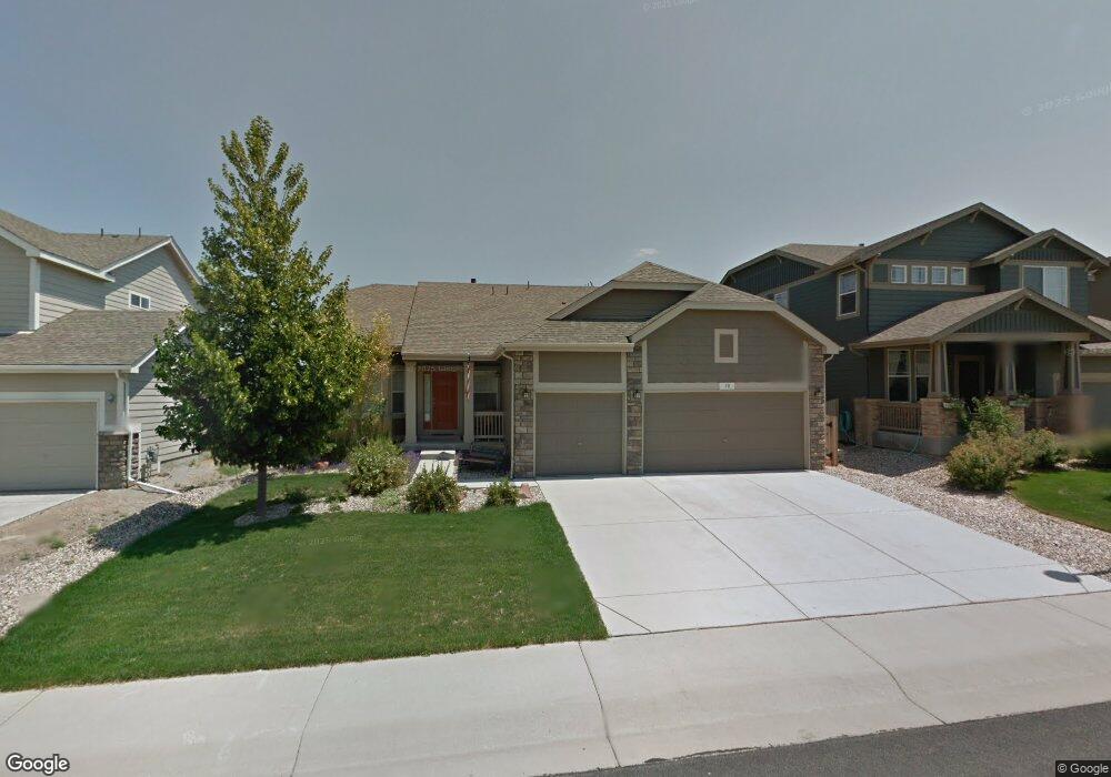
38 Saxony Rd Johnstown, CO 80534
Estimated Value: $522,226 - $585,000
3
Beds
2
Baths
1,814
Sq Ft
$307/Sq Ft
Est. Value
About This Home
This home is located at 38 Saxony Rd, Johnstown, CO 80534 and is currently estimated at $557,057, approximately $307 per square foot. 38 Saxony Rd is a home located in Weld County with nearby schools including Pioneer Ridge Elementary School, Milliken Middle School, and Roosevelt High School.
Ownership History
Date
Name
Owned For
Owner Type
Purchase Details
Closed on
Aug 19, 2011
Sold by
Land Daryl
Bought by
Burrow John C and Burrow Andrea M
Current Estimated Value
Home Financials for this Owner
Home Financials are based on the most recent Mortgage that was taken out on this home.
Original Mortgage
$190,800
Outstanding Balance
$132,599
Interest Rate
4.65%
Mortgage Type
New Conventional
Estimated Equity
$424,458
Purchase Details
Closed on
Dec 28, 2005
Sold by
The Ryland Group Inc
Bought by
Land Daryl
Home Financials for this Owner
Home Financials are based on the most recent Mortgage that was taken out on this home.
Original Mortgage
$194,700
Interest Rate
6.3%
Mortgage Type
Fannie Mae Freddie Mac
Create a Home Valuation Report for This Property
The Home Valuation Report is an in-depth analysis detailing your home's value as well as a comparison with similar homes in the area
Home Values in the Area
Average Home Value in this Area
Purchase History
| Date | Buyer | Sale Price | Title Company |
|---|---|---|---|
| Burrow John C | $238,500 | Unified Title Company Of Nor | |
| Land Daryl | $243,382 | Ryland Title Company |
Source: Public Records
Mortgage History
| Date | Status | Borrower | Loan Amount |
|---|---|---|---|
| Open | Burrow John C | $190,800 | |
| Previous Owner | Land Daryl | $194,700 |
Source: Public Records
Tax History Compared to Growth
Tax History
| Year | Tax Paid | Tax Assessment Tax Assessment Total Assessment is a certain percentage of the fair market value that is determined by local assessors to be the total taxable value of land and additions on the property. | Land | Improvement |
|---|---|---|---|---|
| 2025 | $2,541 | $34,290 | $9,380 | $24,910 |
| 2024 | $2,541 | $34,290 | $9,380 | $24,910 |
| 2023 | $2,387 | $36,520 | $5,750 | $30,770 |
| 2022 | $2,042 | $25,990 | $5,840 | $20,150 |
| 2021 | $3,005 | $26,740 | $6,010 | $20,730 |
| 2020 | $2,799 | $25,630 | $5,580 | $20,050 |
| 2019 | $2,189 | $25,630 | $5,580 | $20,050 |
| 2018 | $1,955 | $22,870 | $4,680 | $18,190 |
| 2017 | $1,987 | $22,870 | $4,680 | $18,190 |
| 2016 | $1,841 | $21,180 | $4,300 | $16,880 |
| 2015 | $1,866 | $21,180 | $4,300 | $16,880 |
| 2014 | $1,516 | $17,760 | $3,580 | $14,180 |
Source: Public Records
Map
Nearby Homes
- 34 Saxony Rd
- 2507 Rouen Ln
- 2128 Redhead Dr
- 139 Muscovey Ln
- 230 Saxony Rd
- 370 Saxony Rd
- 254 Bittern Dr
- 103 Muscovey Ln
- 2724 White Wing Rd
- 207 Bittern Dr
- 2708 Aylesbury Way
- 2726 Aylesbury Way
- 2683 Pochard Ct
- 1739 Canvasback Dr
- 1538 Mallard Dr
- 1519 Mallard Dr
- 9260 Meadow Farms Dr
- 9320 Meadow Farms Dr
- 9360 Meadow Farms Dr
- 9411 Meadow Farms Dr