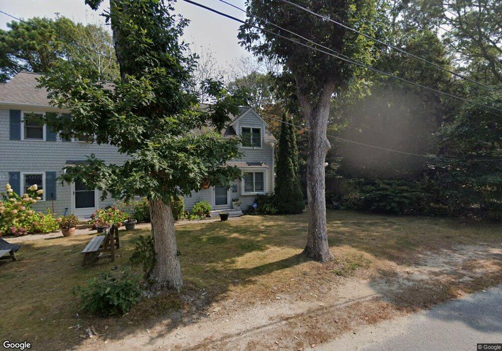
38 Seagate Ln Unit A Hyannis, MA 02601
Estimated Value: $258,000 - $354,000
1
Bed
2
Baths
880
Sq Ft
$336/Sq Ft
Est. Value
About This Home
This home is located at 38 Seagate Ln Unit A, Hyannis, MA 02601 and is currently estimated at $296,020, approximately $336 per square foot. 38 Seagate Ln Unit A is a home located in Barnstable County with nearby schools including Hyannis West Elementary School, Barnstable United Elementary School, and Barnstable Intermediate School.
Ownership History
Date
Name
Owned For
Owner Type
Purchase Details
Closed on
Jul 18, 2025
Sold by
Scherer Leslie E
Bought by
Scherer Rt and Scherer
Current Estimated Value
Purchase Details
Closed on
Aug 30, 2013
Sold by
Scherer Cape Pt and Scherer S
Bought by
Scherer Leslie E
Home Financials for this Owner
Home Financials are based on the most recent Mortgage that was taken out on this home.
Original Mortgage
$74,400
Interest Rate
4.4%
Mortgage Type
New Conventional
Purchase Details
Closed on
Aug 21, 1992
Sold by
Mcclellan Rlty Inc
Bought by
Seagate Nt
Create a Home Valuation Report for This Property
The Home Valuation Report is an in-depth analysis detailing your home's value as well as a comparison with similar homes in the area
Home Values in the Area
Average Home Value in this Area
Purchase History
| Date | Buyer | Sale Price | Title Company |
|---|---|---|---|
| Scherer Rt | -- | -- | |
| Scherer Rt | -- | -- | |
| Scherer Leslie E | $93,000 | -- | |
| Scherer Leslie E | $93,000 | -- | |
| Scherer Leslie E | $93,000 | -- | |
| Seagate Nt | $46,240 | -- | |
| Schener Arlene J | $59,900 | -- |
Source: Public Records
Mortgage History
| Date | Status | Borrower | Loan Amount |
|---|---|---|---|
| Previous Owner | Scherer Leslie E | $74,400 |
Source: Public Records
Tax History Compared to Growth
Tax History
| Year | Tax Paid | Tax Assessment Tax Assessment Total Assessment is a certain percentage of the fair market value that is determined by local assessors to be the total taxable value of land and additions on the property. | Land | Improvement |
|---|---|---|---|---|
| 2025 | $2,068 | $223,100 | $0 | $223,100 |
| 2024 | $1,897 | $209,600 | $0 | $209,600 |
| 2023 | $1,677 | $175,200 | $0 | $175,200 |
| 2022 | $1,724 | $149,000 | $0 | $149,000 |
| 2021 | $1,795 | $150,700 | $0 | $150,700 |
| 2020 | $1,794 | $145,500 | $0 | $145,500 |
| 2019 | $1,832 | $145,600 | $0 | $145,600 |
| 2018 | $1,749 | $142,200 | $0 | $142,200 |
| 2017 | $1,712 | $142,800 | $0 | $142,800 |
| 2016 | $1,675 | $142,800 | $0 | $142,800 |
| 2015 | $1,639 | $141,700 | $0 | $141,700 |
Source: Public Records
Map
Nearby Homes
- 42 Seagate Ln Unit B
- 46 Seagate Ln Unit C
- 23 Pleasant Park Ave
- 29 Pleasant Park Ave
- 47 Seagate Ln
- 37 Seagate Ln
- 9 Pleasant Park Ave Unit 2I
- 9 Pleasant Park Ave Unit 2H
- 9 Pleasant Park Ave Unit 2G
- 9 Pleasant Park Ave Unit 2E
- 9 Pleasant Park Ave Unit 2D
- 9 Pleasant Park Ave Unit 2C
- 9 Pleasant Park Ave Unit 2B
- 9 Pleasant Park Ave Unit 2A
- 9 Pleasant Park Ave Unit 1I
- 9 Pleasant Park Ave Unit 1H
- 9 Pleasant Park Ave Unit 1G
- 9 Pleasant Park Ave Unit 1F
- 9 Pleasant Park Ave Unit 1E
- 9 Pleasant Park Ave Unit 1D