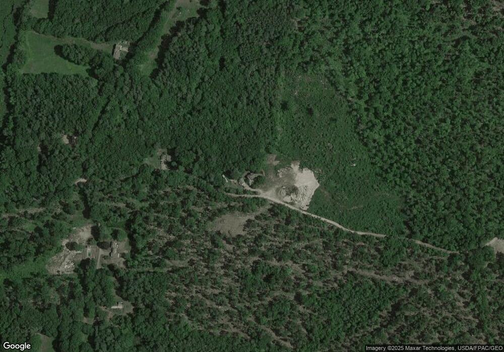
38 Sodom Rd Bristol, ME 04539
Estimated Value: $496,121 - $660,000
3
Beds
3
Baths
1,872
Sq Ft
$291/Sq Ft
Est. Value
About This Home
This home is located at 38 Sodom Rd, Bristol, ME 04539 and is currently estimated at $545,530, approximately $291 per square foot. 38 Sodom Rd is a home located in Lincoln County with nearby schools including Bristol Consolidated School.
Ownership History
Date
Name
Owned For
Owner Type
Purchase Details
Closed on
Oct 19, 2009
Sold by
Winslow Evelyn E Est
Bought by
Blomquist Paul W and Blomquist Jo Anne C
Current Estimated Value
Home Financials for this Owner
Home Financials are based on the most recent Mortgage that was taken out on this home.
Original Mortgage
$116,750
Outstanding Balance
$76,469
Interest Rate
5.14%
Mortgage Type
Commercial
Estimated Equity
$469,061
Create a Home Valuation Report for This Property
The Home Valuation Report is an in-depth analysis detailing your home's value as well as a comparison with similar homes in the area
Home Values in the Area
Average Home Value in this Area
Purchase History
| Date | Buyer | Sale Price | Title Company |
|---|---|---|---|
| Blomquist Paul W | -- | -- | |
| Blomquist Paul W | -- | -- |
Source: Public Records
Mortgage History
| Date | Status | Borrower | Loan Amount |
|---|---|---|---|
| Open | Blomquist Paul W | $116,750 | |
| Closed | Blomquist Paul W | $116,750 |
Source: Public Records
Tax History Compared to Growth
Tax History
| Year | Tax Paid | Tax Assessment Tax Assessment Total Assessment is a certain percentage of the fair market value that is determined by local assessors to be the total taxable value of land and additions on the property. | Land | Improvement |
|---|---|---|---|---|
| 2024 | $2,011 | $226,000 | $31,000 | $195,000 |
| 2023 | $1,797 | $226,000 | $31,000 | $195,000 |
| 2022 | $1,627 | $226,000 | $31,000 | $195,000 |
| 2021 | $1,627 | $226,000 | $31,000 | $195,000 |
| 2020 | $1,639 | $226,000 | $31,000 | $195,000 |
| 2019 | $9,217 | $226,000 | $31,000 | $195,000 |
| 2018 | $8,947 | $226,000 | $31,000 | $195,000 |
| 2017 | $8,793 | $226,000 | $31,000 | $195,000 |
| 2016 | $8,639 | $139,100 | $12,700 | $126,400 |
| 2015 | $1,175 | $139,100 | $12,700 | $126,400 |
| 2014 | $1,099 | $139,100 | $12,700 | $126,400 |
| 2013 | $1,071 | $139,100 | $12,700 | $126,400 |
Source: Public Records
Map
Nearby Homes
- 0 Sodom Rd
- 688 Benner Rd
- Map10Lot5 Benner Rd
- 003-D Lakeview Dr
- 433 Fogler Rd
- 9 Bearces Hill Rd
- 29 Bristol Mews Rd
- 11 Redonnett Mill Rd
- 17 Eastwood Ct
- 8 Longfellow School Rd
- 7 Lucas Ct
- 677 Benner Rd
- 146 Lower Round Pond Rd
- Lot 149 Bristol Rd
- 033-1 Bristol Rd
- M6L53 Bristol Rd
- M6L54 Bristol Rd
- 752 Bristol Rd
- 31 Hidden Ln
- 32 Stoneridge Ln
- 18 Sodom Rd
- 16 Erskine Farms Rd
- 607 Fogler Rd
- 595 Fogler Rd
- 28 Erskine Farms Rd
- 580 Fogler Rd
- 560 Fogler Rd
- 44 Erskine Farms Rd
- 551 Fogler Rd
- 13 Devoe Rd
- 124 Sodom Rd
- 540 Fogler Rd
- 539 Fogler Rd
- PO M9L10C Sodom Rd
- M9 L14 Fogler Rd
- 6 No Name Rd
- 156 Sodom Rd
- 95 Sodom Rd
- 89 Erskine Farms Rd
- 18 No Name Rd
