38 Strout Rd Poland, ME 04274
Estimated Value: $437,000 - $653,000
3
Beds
3
Baths
2,128
Sq Ft
$258/Sq Ft
Est. Value
About This Home
This home is located at 38 Strout Rd, Poland, ME 04274 and is currently estimated at $548,766, approximately $257 per square foot. 38 Strout Rd is a home with nearby schools including Poland Community School, Bruce M. Whittier Middle School, and Poland Regional High School.
Ownership History
Date
Name
Owned For
Owner Type
Purchase Details
Closed on
Jan 22, 2018
Sold by
Parent Joseph L and Parent Debra A
Bought by
Sullivan Patrick B and Sullivan Chenoa R
Current Estimated Value
Home Financials for this Owner
Home Financials are based on the most recent Mortgage that was taken out on this home.
Original Mortgage
$36,800
Outstanding Balance
$20,297
Interest Rate
3.36%
Mortgage Type
New Conventional
Estimated Equity
$528,469
Create a Home Valuation Report for This Property
The Home Valuation Report is an in-depth analysis detailing your home's value as well as a comparison with similar homes in the area
Home Values in the Area
Average Home Value in this Area
Purchase History
| Date | Buyer | Sale Price | Title Company |
|---|---|---|---|
| Sullivan Patrick B | -- | -- |
Source: Public Records
Mortgage History
| Date | Status | Borrower | Loan Amount |
|---|---|---|---|
| Open | Sullivan Patrick B | $36,800 |
Source: Public Records
Tax History Compared to Growth
Tax History
| Year | Tax Paid | Tax Assessment Tax Assessment Total Assessment is a certain percentage of the fair market value that is determined by local assessors to be the total taxable value of land and additions on the property. | Land | Improvement |
|---|---|---|---|---|
| 2024 | $6,075 | $367,500 | $74,200 | $293,300 |
| 2023 | $5,013 | $367,500 | $74,200 | $293,300 |
| 2022 | $4,625 | $306,300 | $61,900 | $244,400 |
| 2021 | $4,625 | $306,300 | $61,900 | $244,400 |
| 2020 | $4,588 | $306,300 | $61,900 | $244,400 |
| 2019 | $4,588 | $306,300 | $61,900 | $244,400 |
| 2018 | $4,707 | $314,240 | $69,800 | $244,440 |
| 2016 | $4,522 | $314,240 | $69,800 | $244,440 |
| 2015 | $4,462 | $314,240 | $69,800 | $244,440 |
| 2014 | $4,399 | $314,240 | $69,800 | $244,440 |
| 2013 | $4,289 | $314,240 | $69,800 | $244,440 |
Source: Public Records
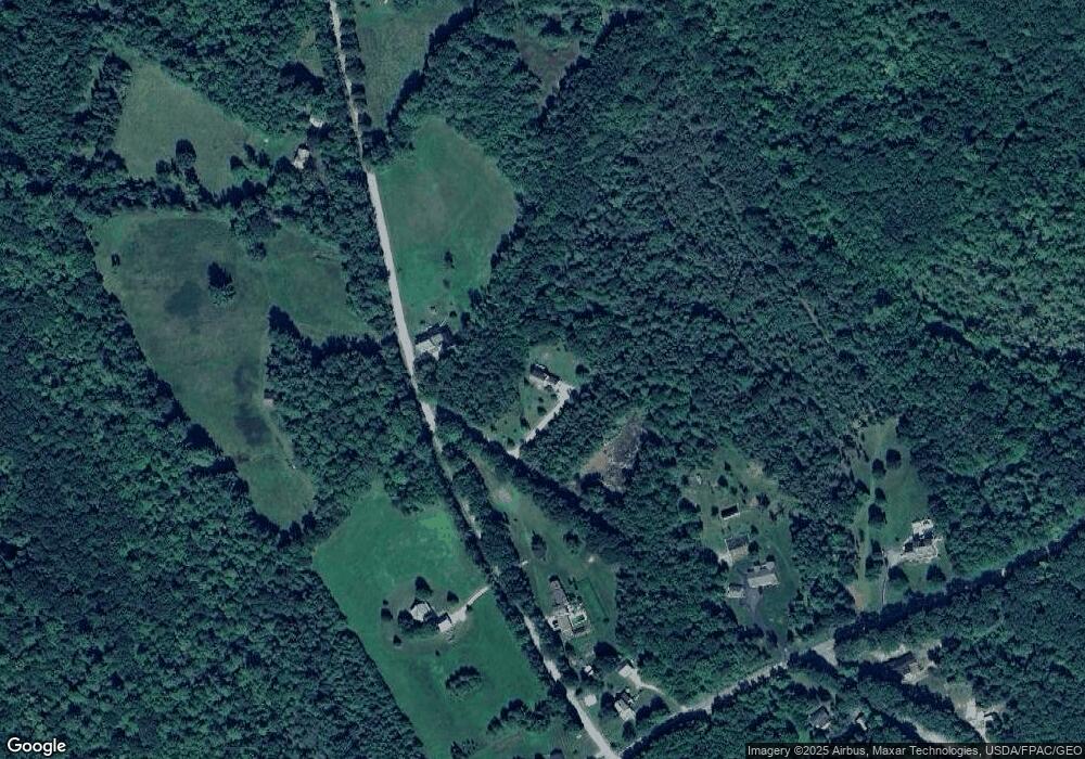
Map
Nearby Homes
- 10-7B White Oak Hill Rd
- 40 Jordan Shore Dr
- 97 Tripp Lake Rd
- Lot 8 Bakerstown Rd
- 568 Plains Rd
- Lot 46 Maine St
- Lot 47C-3 Maine St
- 42 Olde Birch Ln
- 125 Pigeon Hill Rd
- 53 Westview Dr
- 325 N Raymond Rd
- 27 Justrite Way
- 6 Justrite Way
- 3-10 Tiger Hill Rd
- 79 Abrams Ln
- 339 Harris Hill Rd
- 0 Lucys Dr
- 19 Tirrell Ave
- 33 Dunlop Ave
- Lot 47D -C Hines Rd
- 48 Strout Rd
- 0 Strout Rd
- 23 Strout Rd
- 67 Strout Rd
- 105 Strout Rd
- 16 Strout Rd
- 233 White Oak Hill Rd
- 211 White Oak Hill Rd
- 251 White Oak Hill Rd
- 1 Strout Rd
- 195 White Oak Hill Rd
- 232 White Oak Hill Rd
- 299 Jackson Rd
- 136 Strout Rd
- 202 White Oak Hill Rd
- 87 Strout Rd
- 98 Strout Rd
- 252 White Oak Hill Rd
- 281 Jackson Rd
- 172 White Oak Hill Rd