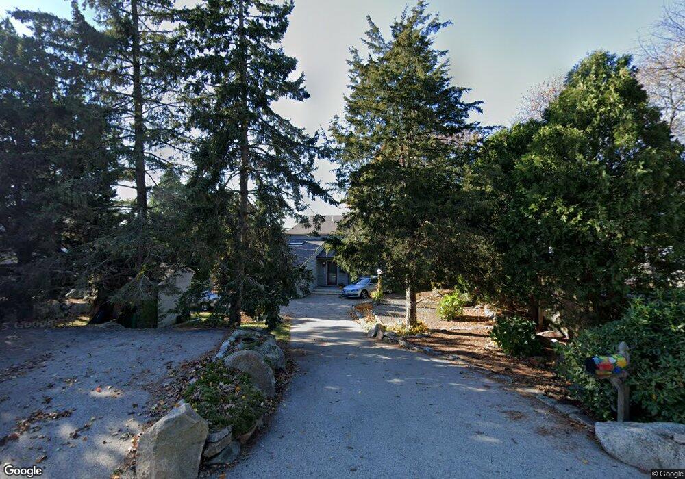
38 Thurston Point Rd Gloucester, MA 01930
Riverview NeighborhoodEstimated Value: $854,000 - $2,829,000
2
Beds
2
Baths
1,465
Sq Ft
$1,231/Sq Ft
Est. Value
About This Home
This home is located at 38 Thurston Point Rd, Gloucester, MA 01930 and is currently estimated at $1,803,389, approximately $1,230 per square foot. 38 Thurston Point Rd is a home located in Essex County with nearby schools including Beeman Memorial, Ralph B O'maley Middle School, and Gloucester High School.
Ownership History
Date
Name
Owned For
Owner Type
Purchase Details
Closed on
Aug 1, 1979
Bought by
Viator Albert and Viator Lucinda A
Current Estimated Value
Create a Home Valuation Report for This Property
The Home Valuation Report is an in-depth analysis detailing your home's value as well as a comparison with similar homes in the area
Home Values in the Area
Average Home Value in this Area
Purchase History
| Date | Buyer | Sale Price | Title Company |
|---|---|---|---|
| Viator Albert | $37,500 | -- |
Source: Public Records
Mortgage History
| Date | Status | Borrower | Loan Amount |
|---|---|---|---|
| Open | Viator Albert | $35,000 | |
| Open | Viator Albert | $98,900 | |
| Closed | Viator Albert | $50,000 | |
| Closed | Viator Albert | $45,000 |
Source: Public Records
Tax History Compared to Growth
Tax History
| Year | Tax Paid | Tax Assessment Tax Assessment Total Assessment is a certain percentage of the fair market value that is determined by local assessors to be the total taxable value of land and additions on the property. | Land | Improvement |
|---|---|---|---|---|
| 2025 | $20,213 | $2,079,500 | $1,634,900 | $444,600 |
| 2024 | $19,049 | $1,957,800 | $1,513,200 | $444,600 |
| 2023 | $17,782 | $1,679,100 | $1,290,900 | $388,200 |
| 2022 | $17,165 | $1,463,300 | $1,123,400 | $339,900 |
| 2021 | $14,192 | $1,140,800 | $831,900 | $308,900 |
| 2020 | $14,069 | $1,141,000 | $831,900 | $309,100 |
| 2019 | $13,543 | $1,067,200 | $793,200 | $274,000 |
| 2018 | $13,226 | $1,022,900 | $773,800 | $249,100 |
| 2017 | $12,834 | $973,000 | $736,900 | $236,100 |
| 2016 | $12,414 | $912,100 | $704,400 | $207,700 |
| 2015 | $12,043 | $882,300 | $688,400 | $193,900 |
Source: Public Records
Map
Nearby Homes
- 2 Finch Ln
- 672 Washington St
- 226 Atlantic St
- 6 Monroe Ct
- 78 Grove St
- 196 Washington St
- 98 Maplewood Ave
- 16 Cleveland Place Unit 11
- 5 Samoset Rd Unit B
- 15 Harvard St
- 40 Sargent St
- 84 Centennial Ave
- 145 Essex St Unit 622
- 33 Maplewood Ave Unit 16
- 20 Beacon St Unit 2
- 20 Beacon St Unit 1
- 10 Oak St Unit 3
- 4 Mount Vernon St
- 118 Prospect St
- 33 Middle St
- 36 Thurston Point Rd
- 40 Thurston Point Rd
- 34 Thurston Point Rd
- 44 Thurston Point Rd
- 31 Thurston Point Rd
- 42 Thurston Point Rd
- 27 Thurston Point Rd
- 46 Thurston Point Rd
- 48 Thurston Point Rd
- 35 Thurston Point Rd
- 32 Thurston Point Rd
- 23 Thurston Point Rd
- 37 Thurston Point Rd
- 23 Thurston Point Rd
- 50 Thurston Point Rd
- 21 Thurston Point Rd
- 10 Mako Dr
- 3 Mako Dr
- 25 Thurston Point Rd
- 52 Thurston Point Rd