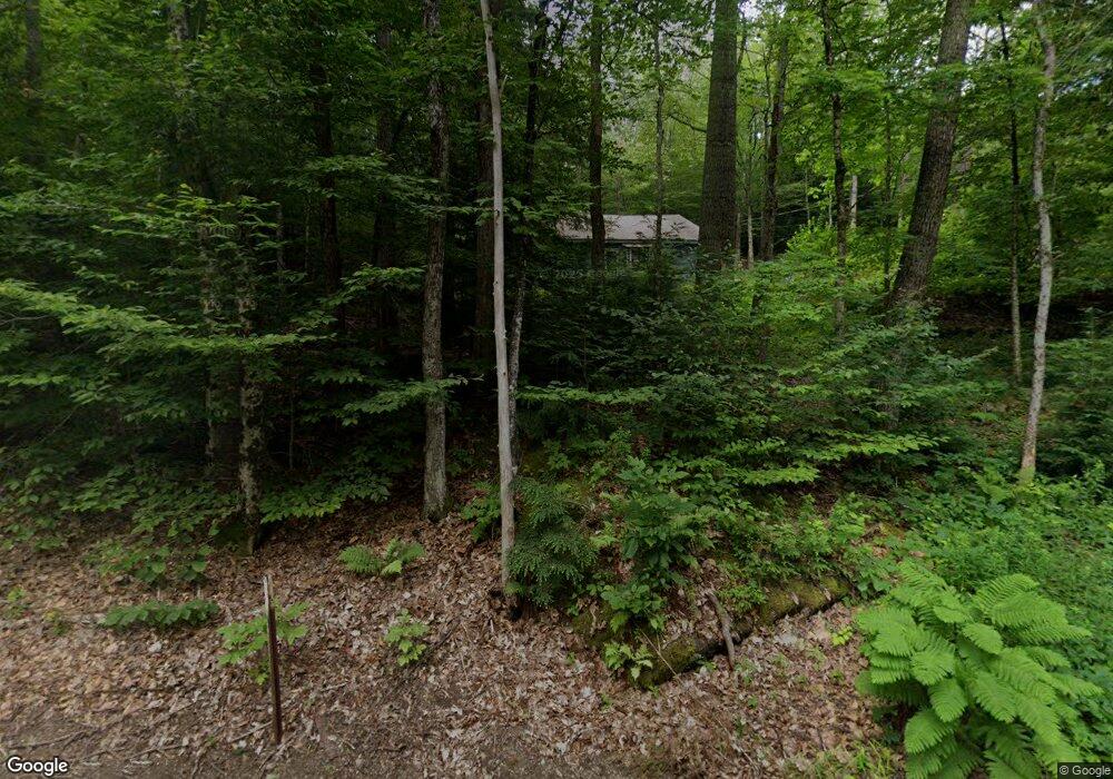
38 Upper New Hampton Rd Meredith, NH 03253
Estimated Value: $365,000 - $574,000
2
Beds
2
Baths
1,356
Sq Ft
$347/Sq Ft
Est. Value
About This Home
This home is located at 38 Upper New Hampton Rd, Meredith, NH 03253 and is currently estimated at $469,905, approximately $346 per square foot. 38 Upper New Hampton Rd is a home located in Belknap County with nearby schools including Inter-Lakes Elementary School, Sandwich Central School, and Inter-Lakes Middle High School.
Ownership History
Date
Name
Owned For
Owner Type
Purchase Details
Closed on
May 9, 1977
Bought by
Zajchowski Thomas T
Current Estimated Value
Create a Home Valuation Report for This Property
The Home Valuation Report is an in-depth analysis detailing your home's value as well as a comparison with similar homes in the area
Home Values in the Area
Average Home Value in this Area
Purchase History
We collect this data history from publicly available records. To have your information removed, we recommend requesting removal directly through your county’s website.
| Date | Buyer | Sale Price | Title Company |
|---|---|---|---|
| Zajchowski Thomas T | -- | -- |
Source: Public Records
Mortgage History
We collect this data history from publicly available records. To have your information removed, we recommend requesting removal directly through your county’s website.
| Date | Status | Borrower | Loan Amount |
|---|---|---|---|
| Open | Zajchowski Thomas T | $25,000 |
Source: Public Records
Tax History
| Year | Tax Paid | Tax Assessment Tax Assessment Total Assessment is a certain percentage of the fair market value that is determined by local assessors to be the total taxable value of land and additions on the property. | Land | Improvement |
|---|---|---|---|---|
| 2025 | $2,614 | $246,100 | $127,800 | $118,300 |
| 2024 | $2,525 | $246,100 | $127,800 | $118,300 |
| 2023 | $2,434 | $246,100 | $127,800 | $118,300 |
| 2022 | $2,470 | $176,800 | $75,700 | $101,100 |
| 2021 | $2,374 | $176,800 | $75,700 | $101,100 |
| 2020 | $2,479 | $176,800 | $75,700 | $101,100 |
| 2019 | $2,442 | $153,700 | $61,500 | $92,200 |
| 2018 | $2,401 | $153,700 | $61,500 | $92,200 |
| 2016 | $1,908 | $152,400 | $56,800 | $95,600 |
| 2015 | $2,316 | $152,400 | $56,800 | $95,600 |
| 2014 | $2,260 | $152,400 | $56,800 | $95,600 |
| 2013 | $2,196 | $152,400 | $56,800 | $95,600 |
Source: Public Records
Map
Nearby Homes
- 31 Sherene Orchard Rd
- 447 Nh Route 104
- Lot 7 Lindsay Ln
- Lot 5 Lindsay Ln
- Lot 36 Smoke Rise Rd
- 24 Smoke Rise Rd
- 386 Straits Rd
- 80 Hatch Corner Rd
- 70 Hatch Corner Rd
- 00 Roxbury Rd Unit 1
- 62 Town House Rd
- 102 Corliss Hill Rd
- 18 Solace Pointe Rd
- 1 Sanctuary Ln
- 9 Fairway Dr
- 87 Collins Brook Rd
- R31-8 Hermit Woods Rd
- 60 Winona Rd
- 247 Meredith Center Rd
- 12 Village Dr Unit 6
- 39 Upper New Hampton Rd
- 26 Upper New Hampton Rd
- 12 Potting Bench Rd
- 24 Upper New Hampton Rd
- 23 Upper New Hampton Rd
- 2 Campground Rd
- 15 Upper New Hampton Rd
- 16 Upper New Hampton Rd
- 36 E Shore Dr
- 536 Nh Route 104
- 48 E Shore Dr Unit 48
- 48 E Shore Dr
- 22 E Shore Dr
- 498 New Hampshire 104
- 24 E Shore Dr
- 28 E Shore Dr
- 50 E Shore Dr
- 64 E Shore Dr
- 52 E Shore Dr
- 66 E Shore Dr
Your Personal Tour Guide
Ask me questions while you tour the home.