38 Windmill Rd New Gloucester, ME 04260
Estimated Value: $259,000 - $383,000
3
Beds
2
Baths
754
Sq Ft
$446/Sq Ft
Est. Value
About This Home
This home is located at 38 Windmill Rd, New Gloucester, ME 04260 and is currently estimated at $336,452, approximately $446 per square foot. 38 Windmill Rd is a home located in Cumberland County with nearby schools including Gray-New Gloucester High School.
Ownership History
Date
Name
Owned For
Owner Type
Purchase Details
Closed on
Sep 24, 2018
Sold by
Retus Betty A and Retus Kimberly M
Bought by
Retus Betty A
Current Estimated Value
Purchase Details
Closed on
Jun 23, 2005
Sold by
Seavey James A and Seavey Heather M
Bought by
Retus Betty V and Retus Betty A
Home Financials for this Owner
Home Financials are based on the most recent Mortgage that was taken out on this home.
Original Mortgage
$150,875
Outstanding Balance
$83,925
Interest Rate
7%
Mortgage Type
Adjustable Rate Mortgage/ARM
Estimated Equity
$252,527
Create a Home Valuation Report for This Property
The Home Valuation Report is an in-depth analysis detailing your home's value as well as a comparison with similar homes in the area
Home Values in the Area
Average Home Value in this Area
Purchase History
| Date | Buyer | Sale Price | Title Company |
|---|---|---|---|
| Retus Betty A | -- | -- | |
| Retus Betty V | -- | -- |
Source: Public Records
Mortgage History
| Date | Status | Borrower | Loan Amount |
|---|---|---|---|
| Open | Retus Betty V | $150,875 |
Source: Public Records
Tax History Compared to Growth
Tax History
| Year | Tax Paid | Tax Assessment Tax Assessment Total Assessment is a certain percentage of the fair market value that is determined by local assessors to be the total taxable value of land and additions on the property. | Land | Improvement |
|---|---|---|---|---|
| 2025 | $2,138 | $138,207 | $46,800 | $91,407 |
| 2024 | $2,058 | $138,207 | $46,800 | $91,407 |
| 2023 | $1,975 | $138,207 | $46,800 | $91,407 |
| 2022 | $1,907 | $138,207 | $46,800 | $91,407 |
| 2021 | $1,907 | $138,207 | $46,800 | $91,407 |
| 2020 | $1,887 | $138,207 | $46,800 | $91,407 |
| 2019 | $2,576 | $152,400 | $29,600 | $122,800 |
| 2018 | $2,408 | $152,400 | $29,600 | $122,800 |
| 2017 | $2,377 | $152,400 | $29,600 | $122,800 |
| 2016 | $2,240 | $152,400 | $29,600 | $122,800 |
| 2015 | $2,233 | $152,400 | $29,600 | $122,800 |
| 2014 | $2,210 | $152,400 | $29,600 | $122,800 |
| 2013 | $2,050 | $152,400 | $29,600 | $122,800 |
Source: Public Records
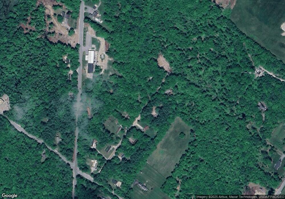
Map
Nearby Homes
- 155 & 151 Gloucester Hill Rd
- 0018-C Gloucester Hill Rd
- 160 Gloucester Hill Rd
- 22 Shaw Rd
- 29 Rockwood Dr
- 271 Bennett Rd
- TBD Targett Rd
- 10 Cobbs Bridge Rd
- 24 Swamp Rd
- 164 Intervale Rd
- 65 Blueberry Ln
- 200 Woodman Rd
- 0 Mayall
- 14 Golden Way
- 343 Shaker Rd
- 12 Country Charm Ln
- 423 Sabbathday Rd
- 4 Chelsey Ln
- 10-56 C&E Bowdoin Way
- 27 Callaway Dr Unit 27A
- 37 Windmill Rd
- 30 Windmill Rd
- 30 Windmill Rd
- 46 Windmill Rd
- 45 Windmill Rd
- 29 Windmill Rd
- 24 Windmill Rd
- 21 Windmill Rd
- 409 Lewiston Rd
- 12 Windmill Rd
- 15 Windmill Rd
- 437 Lewiston Rd
- 416 Lewiston Rd
- 67 Short Bennett Rd
- 430 Lewiston Rd Unit A
- 430 Lewiston Rd
- 59 Short Bennett Rd
- 55 Short Bennett Rd
- 83 Bennett Rd
- 449 Lewiston Rd