Estimated Value: $288,000 - $364,000
3
Beds
2
Baths
1,774
Sq Ft
$190/Sq Ft
Est. Value
About This Home
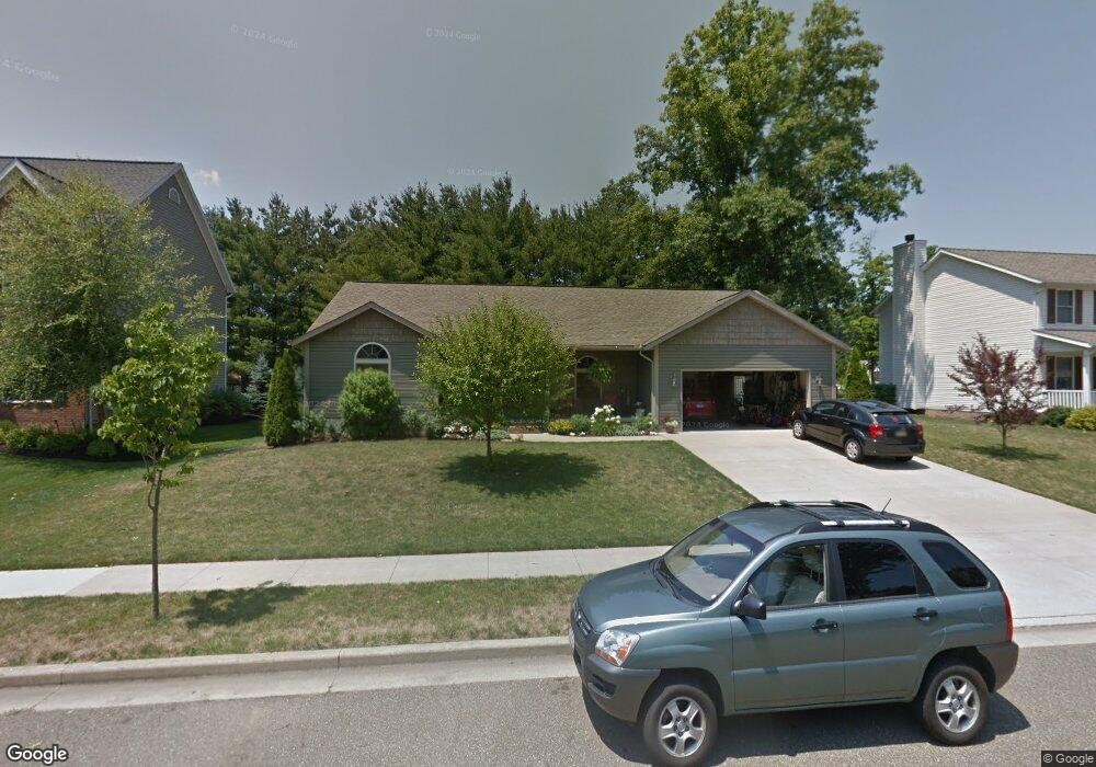
This home is located at 380 Aspen Dr Unit 100, Dover, OH 44622 and is currently estimated at $337,629, approximately $190 per square foot. 380 Aspen Dr Unit 100 is a home located in Tuscarawas County with nearby schools including Dover High School and Tuscarawas Central Catholic Elementary School.
Ownership History
Date
Name
Owned For
Owner Type
Purchase Details
Closed on
Jul 13, 2005
Sold by
M & P Development Of Tuscarawas County L
Bought by
Campbell Frank G and Campbell Debora D
Current Estimated Value
Home Financials for this Owner
Home Financials are based on the most recent Mortgage that was taken out on this home.
Original Mortgage
$36,000
Interest Rate
5.69%
Mortgage Type
Purchase Money Mortgage
Purchase Details
Closed on
Nov 4, 2003
Sold by
Rr Stark Co
Bought by
M & P Development Of Tuscarawas County L
Home Financials for this Owner
Home Financials are based on the most recent Mortgage that was taken out on this home.
Original Mortgage
$1,000,000
Interest Rate
6.02%
Mortgage Type
Purchase Money Mortgage
Create a Home Valuation Report for This Property
The Home Valuation Report is an in-depth analysis detailing your home's value as well as a comparison with similar homes in the area
Home Values in the Area
Average Home Value in this Area
Purchase History
| Date | Buyer | Sale Price | Title Company |
|---|---|---|---|
| Campbell Frank G | $79,800 | Camco Title | |
| M & P Development Of Tuscarawas County L | $1,085,000 | -- |
Source: Public Records
Mortgage History
| Date | Status | Borrower | Loan Amount |
|---|---|---|---|
| Closed | Campbell Frank G | $36,000 | |
| Closed | M & P Development Of Tuscarawas County L | $1,000,000 |
Source: Public Records
Tax History Compared to Growth
Tax History
| Year | Tax Paid | Tax Assessment Tax Assessment Total Assessment is a certain percentage of the fair market value that is determined by local assessors to be the total taxable value of land and additions on the property. | Land | Improvement |
|---|---|---|---|---|
| 2024 | $3,330 | $87,590 | $21,400 | $66,190 |
| 2023 | $3,330 | $250,250 | $61,150 | $189,100 |
| 2022 | $3,408 | $87,588 | $21,403 | $66,185 |
| 2021 | $3,119 | $76,493 | $20,066 | $56,427 |
| 2020 | $3,119 | $76,493 | $20,066 | $56,427 |
| 2019 | $3,142 | $76,493 | $20,066 | $56,427 |
| 2018 | $3,170 | $69,040 | $18,110 | $50,930 |
| 2017 | $3,385 | $69,040 | $18,110 | $50,930 |
| 2016 | $3,384 | $69,040 | $18,110 | $50,930 |
| 2014 | $2,879 | $63,790 | $15,340 | $48,450 |
| 2013 | $2,906 | $63,790 | $15,340 | $48,450 |
Source: Public Records
Map
Nearby Homes
- 2719 Wyandot Dr
- 502 Oakdale Dr
- 520 Oakdale Dr
- 1242 Schneiders Crossing Rd NW Unit C
- 3030 N Wooster Ave
- 971 Schneiders Crossing Rd NW
- 306 E 15th St
- 1411 Chestnut St
- 5747 Middle Run Rd NW
- 1319 N Walnut St
- 6238 Saint Peters Church Rd NW
- 500 W 13th St
- 119 Phoenix Dr
- 6113 Middle Run Rd
- 227 E Slingluff Ave
- 129 E 8th St
- 450 E 5th St
- 319 Lincoln Ave
- 0 Bair Rd NW Unit 5124469
- 0 Bair Rd NW Unit 5124477