380 Bobcat Run Dr Loudon, TN 37774
Estimated Value: $623,000 - $842,000
4
Beds
3
Baths
2,529
Sq Ft
$294/Sq Ft
Est. Value
About This Home
This home is located at 380 Bobcat Run Dr, Loudon, TN 37774 and is currently estimated at $742,606, approximately $293 per square foot. 380 Bobcat Run Dr is a home located in Loudon County with nearby schools including Loudon High School.
Ownership History
Date
Name
Owned For
Owner Type
Purchase Details
Closed on
Feb 5, 2024
Sold by
Swenson Derrick
Bought by
Dyer Michael E and Dyer Martha
Current Estimated Value
Purchase Details
Closed on
Jun 23, 2011
Sold by
Regions Bank
Bought by
Swenson Derrick
Home Financials for this Owner
Home Financials are based on the most recent Mortgage that was taken out on this home.
Original Mortgage
$196,650
Interest Rate
4.57%
Mortgage Type
Commercial
Purchase Details
Closed on
Jun 18, 2010
Bought by
Regions Bank Mail Code Albh10902b
Purchase Details
Closed on
Dec 30, 2005
Bought by
Pratt & Associates Llc
Create a Home Valuation Report for This Property
The Home Valuation Report is an in-depth analysis detailing your home's value as well as a comparison with similar homes in the area
Home Values in the Area
Average Home Value in this Area
Purchase History
| Date | Buyer | Sale Price | Title Company |
|---|---|---|---|
| Dyer Michael E | $600,000 | Legacy Title | |
| Swenson Derrick | $207,000 | -- | |
| Regions Bank Mail Code Albh10902b | $1,068,100 | -- | |
| Pratt & Associates Llc | $1,350,000 | -- |
Source: Public Records
Mortgage History
| Date | Status | Borrower | Loan Amount |
|---|---|---|---|
| Previous Owner | Swenson Derrick | $196,650 |
Source: Public Records
Tax History Compared to Growth
Tax History
| Year | Tax Paid | Tax Assessment Tax Assessment Total Assessment is a certain percentage of the fair market value that is determined by local assessors to be the total taxable value of land and additions on the property. | Land | Improvement |
|---|---|---|---|---|
| 2025 | $2,700 | $103,125 | $10,000 | $93,125 |
| 2023 | $2,700 | $103,125 | $0 | $0 |
| 2022 | $2,700 | $103,125 | $10,000 | $93,125 |
| 2021 | $2,700 | $103,125 | $10,000 | $93,125 |
| 2020 | $2,756 | $103,125 | $10,000 | $93,125 |
| 2019 | $2,756 | $90,650 | $8,750 | $81,900 |
| 2018 | $2,702 | $90,650 | $8,750 | $81,900 |
| 2017 | $2,702 | $90,650 | $8,750 | $81,900 |
| 2016 | $2,797 | $92,150 | $7,500 | $84,650 |
| 2015 | $2,797 | $92,150 | $7,500 | $84,650 |
| 2014 | $2,775 | $91,425 | $7,500 | $83,925 |
Source: Public Records
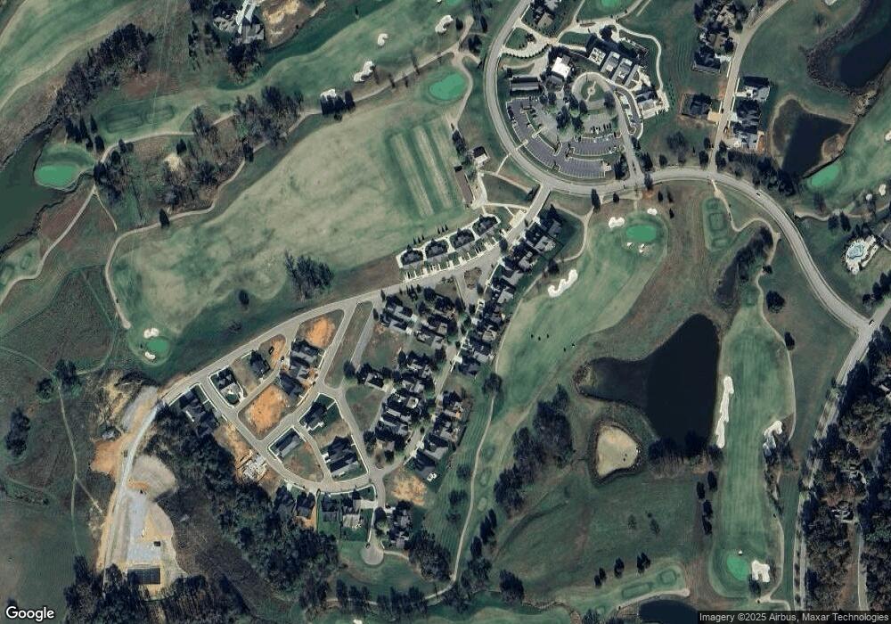
Map
Nearby Homes
- 484 Bobcat Run Dr
- 263 Wildcat Run Dr
- 595 Bobcat Run Dr
- 650 Red Fox Run
- 925 Wildcat Run Dr
- 793 Buckhorn Way
- 5319 Old Club Dr
- 702 Black Rock Run
- 1092 Mockingbird Ln
- 1404 Mockingbird Ln
- 715 Ironwood Ln
- 121 Purple Iris Place
- 585 Black Cove Ln
- 1584 Mockingbird Ln
- 247 Mockingbird Ln
- Laurel II Plan at Tennessee National
- Piedmont Plan at Tennessee National
- Laurel Plan at Tennessee National
- Piedmont II Plan at Tennessee National
- Willow Plan at Tennessee National
- 438 Bobcat Run Dr
- 385 Bobcat Run Dr
- 536 Bobcat Run Dr
- 331 Bobcat Run Dr
- 167 Wildcat Run Dr
- 457 Bobcat Run Dr
- 259 Bobcat Run Dr
- 219 Wildcat Run Dr
- 590 Bobcat Run Dr
- 533 Bobcat Run Dr
- 197 Bobcat Run Dr
- 253 Mossy Creek Dr
- 642 Bobcat Run Dr
- 309 Wildcat Run Dr
- 694 Bobcat Run Dr
- 381 Wildcat Run Dr
- 657 Bobcat Run Dr
- 211 Mossy Creek Dr
- 419 Wildcat Run Dr
- 748 Bobcat Run Dr