380 Brookside Cir Aurora, OH 44202
Estimated Value: $653,000 - $924,000
4
Beds
3
Baths
3,715
Sq Ft
$203/Sq Ft
Est. Value
About This Home
This home is located at 380 Brookside Cir, Aurora, OH 44202 and is currently estimated at $755,056, approximately $203 per square foot. 380 Brookside Cir is a home located in Portage County with nearby schools including Miller Elementary School, Craddock/Miller Elementary School, and Leighton Elementary School.
Ownership History
Date
Name
Owned For
Owner Type
Purchase Details
Closed on
Mar 5, 1999
Sold by
Bermea Raymond P and Bermea Janice L
Bought by
Bermea Janice L and The Janice L Bermea Revocable Trust
Current Estimated Value
Purchase Details
Closed on
Feb 25, 1997
Sold by
Dunedon Ltd Ptns
Bought by
Bermea Raymond P and Bermea Janice L
Home Financials for this Owner
Home Financials are based on the most recent Mortgage that was taken out on this home.
Original Mortgage
$301,000
Outstanding Balance
$23,990
Interest Rate
7.38%
Mortgage Type
New Conventional
Estimated Equity
$731,066
Create a Home Valuation Report for This Property
The Home Valuation Report is an in-depth analysis detailing your home's value as well as a comparison with similar homes in the area
Home Values in the Area
Average Home Value in this Area
Purchase History
| Date | Buyer | Sale Price | Title Company |
|---|---|---|---|
| Bermea Janice L | -- | -- | |
| Bermea Raymond P | $82,400 | -- |
Source: Public Records
Mortgage History
| Date | Status | Borrower | Loan Amount |
|---|---|---|---|
| Open | Bermea Raymond P | $301,000 |
Source: Public Records
Tax History
| Year | Tax Paid | Tax Assessment Tax Assessment Total Assessment is a certain percentage of the fair market value that is determined by local assessors to be the total taxable value of land and additions on the property. | Land | Improvement |
|---|---|---|---|---|
| 2025 | $10,858 | $238,180 | $38,890 | $199,290 |
| 2024 | $11,998 | $267,970 | $38,890 | $229,080 |
| 2023 | $10,282 | $186,870 | $35,350 | $151,520 |
| 2021 | $9,366 | $186,870 | $35,350 | $151,520 |
| 2020 | $9,099 | $169,440 | $35,350 | $134,090 |
| 2019 | $9,172 | $169,440 | $35,350 | $134,090 |
| 2018 | $8,425 | $141,510 | $31,150 | $110,360 |
| 2017 | $8,425 | $141,510 | $31,150 | $110,360 |
| 2016 | $7,593 | $141,510 | $31,150 | $110,360 |
| 2015 | $7,760 | $140,630 | $31,150 | $109,480 |
| 2014 | $7,359 | $130,690 | $31,150 | $99,540 |
| 2013 | $7,313 | $130,690 | $31,150 | $99,540 |
Source: Public Records
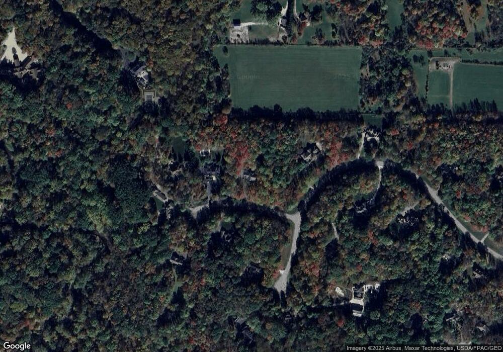
Map
Nearby Homes
- 818 Hilliary Ln
- 106 Brighton Dr
- 600 Shinnecock Ln
- 85 Brighton Dr
- 604 Burgess Cir Unit 16
- 651 Parker Rd
- 8930 Crackel Rd
- 150 Seamore Rd
- 905 Club Dr W
- 250 Sandover Dr
- 545 Bristol Dr
- 159 Royal Oak Dr
- 363 Glengarry Dr
- V/L 14 AC Ohio 82
- 405 Club Dr W
- 196 Chisholm Ct
- 18832 Maplewood Ln
- 622 Club Dr W
- 752 Club Dr W
- 762 Club Dr W
- 360 Brookside Cir
- 790 Meadowbrook Dr
- 365 Brookside Cir
- 350 Brookside Cir
- 340 Brookside Cir
- 880 Meadowbrook Dr
- 831 Meadowbrook Dr
- 355 Brookside Cir
- 775 Meadowbrook Dr
- 750 Meadowbrook Dr
- 921 Meadowbrook Dr
- 930 Meadowbrook Dr
- 891 Meadowbrook Dr
- 825 Mustang Pass
- 820 Mustang Pass
- 685 Meadowbrook Dr
- 690 Meadowbrook Dr
- 835 Cascades Dr
- 675 Meadowbrook Dr
- 840 Mustang Pass
Your Personal Tour Guide
Ask me questions while you tour the home.